Mount Isolation, White Mountain National Forest

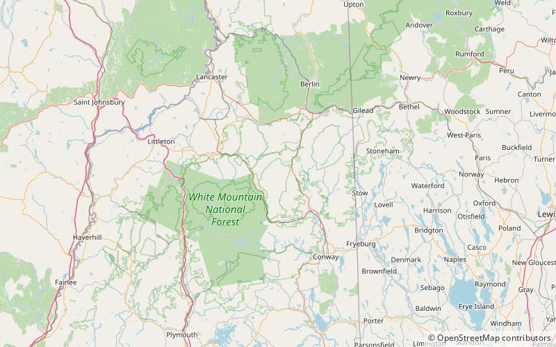
Map
Facts and practical information
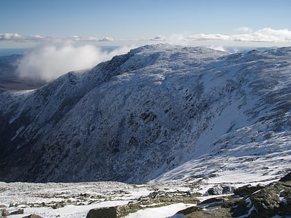
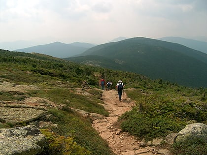
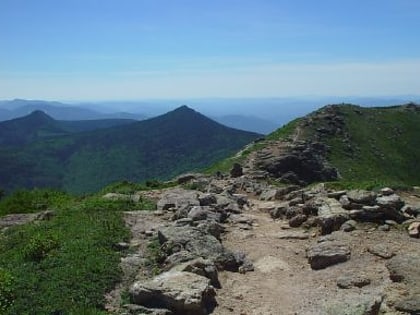
Mount Isolation is a mountain located in Coos County, New Hampshire. The mountain is part of the Presidential Range of the White Mountains. Mount Isolation is the highest peak on the Montalban Ridge which extends south from Boott Spur. ()
Elevation: 4003 ftProminence: 203 ftCoordinates: 44°12'53"N, 71°18'33"W
Address
White Mountain National Forest
ContactAdd
Social media
Add
Day trips
Mount Isolation – popular in the area (distance from the attraction)
Nearby attractions include: Mount Washington, Lakes of the Clouds, Mount Pierce, Mount Monroe.


