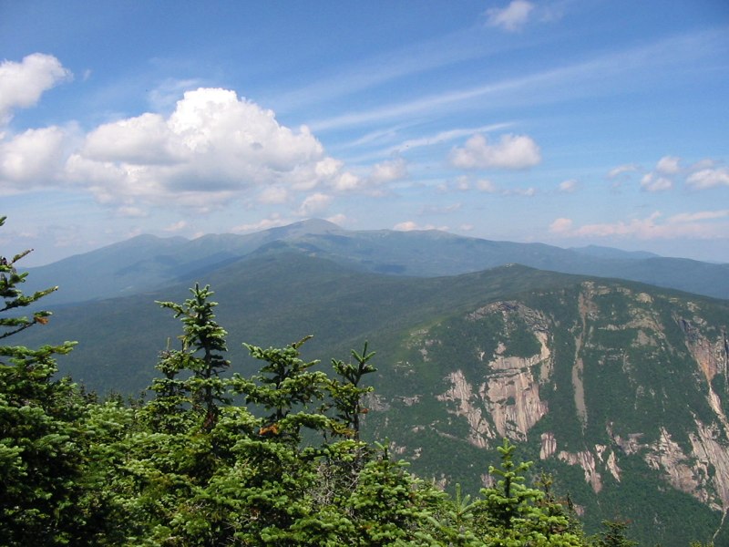
Mount Webster, White Mountain National Forest

Gallery (2)
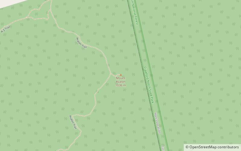
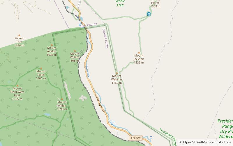
Map
Map
Gallery
Facts and practical information
Mount Webster is a mountain located on the border between Coos County and Carroll County, New Hampshire. The mountain, formerly called Notch Mountain, is named after Daniel Webster, and is the south-westernmost of the Presidential Range of the White Mountains. Mount Webster is flanked to the northeast by Mount Jackson; to the southwest it faces Mount Willey across Crawford Notch. ()
Elevation: 3911 ftProminence: 151 ftCoordinates: 44°11'40"N, 71°23'19"W
Address
White Mountain National Forest
ContactAdd
Social media
Add
Day trips