Saint Clement of Rome Church, Stamford
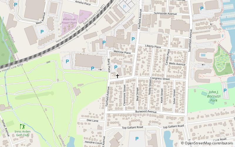
Map
Facts and practical information
St. Clement of Rome Parish is a Roman Catholic church in Stamford, Connecticut, part of the Diocese of Bridgeport. ()
Coordinates: 41°2'4"N, 73°33'10"W
Address
West Side - Waterside - South End (Waterside)Stamford
ContactAdd
Social media
Add
Getting there by public transportation
Public transportation stops near this location
- Train
 Train
Train
- Calculate routeOld Greenwich 20 min walk
- Calculate routeStamford 27 min walk
Day trips
Saint Clement of Rome Church – popular in the area (distance from the attraction)
Nearby attractions include: Stamford Center for the Arts, Basilica of Saint John the Evangelist, Stamford Cone, Holy Name of Jesus Parish.


Frequently Asked Questions (FAQ)
Which popular attractions are close to Saint Clement of Rome Church?
Nearby attractions include Holy Name of Jesus Parish, Stamford (23 min walk), Holy Name of Jesus Parish, Stamford (23 min walk).
How to get to Saint Clement of Rome Church by public transport?
The nearest stations to Saint Clement of Rome Church:
Train
Train
- Old Greenwich (20 min walk)
- Stamford (27 min walk)