South End of Stamford, Stamford

Gallery (3)
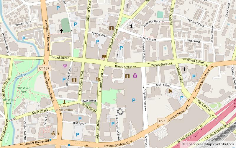
Map

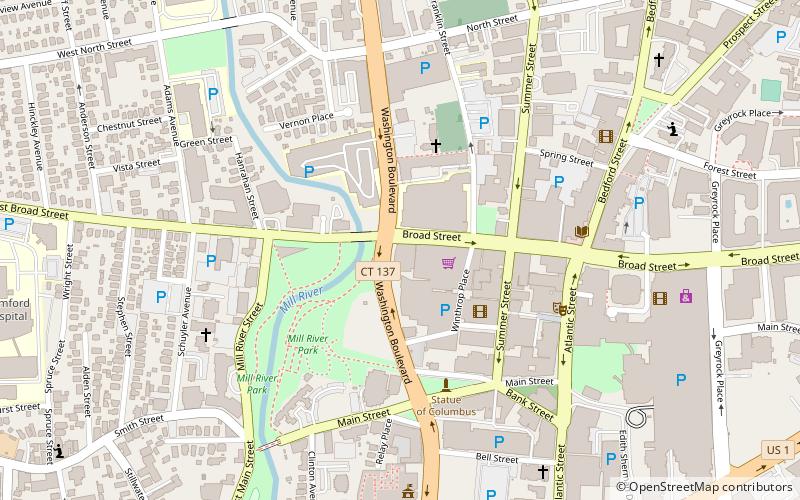
Map
Gallery
Facts and practical information
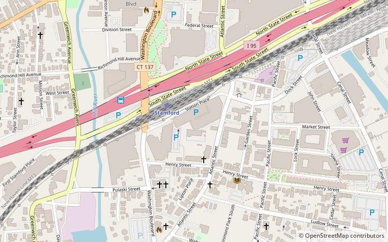
The South End of Stamford, Connecticut is a neighborhood located at the southern end of the city, just south of the Downtown neighborhood. The South End is a peninsula bordered by Downtown Stamford and Interstate 95 to the north and almost totally by water on all other sides, with few streets linking it to other neighborhoods. ()
Coordinates: 41°2'47"N, 73°32'27"W
Address
West Side - Waterside - South End (Harbor Point)Stamford
ContactAdd
Social media
Add
Getting there by public transportation
Public transportation stops near this location
- Train
 Train
Train
- Calculate routeStamford 2 min walk
Day trips


Frequently Asked Questions (FAQ)
Which popular attractions are close to South End of Stamford?
Nearby attractions include Stamford Cone, Stamford (4 min walk), Holy Name of Jesus Parish, Stamford (5 min walk), Holy Name of Jesus Parish, Stamford (5 min walk), St. Luke's Chapel, Stamford (8 min walk).
How to get to South End of Stamford by public transport?
The nearest stations to South End of Stamford:
Train
Train
- Stamford (2 min walk)