Crystal Range, Lake Tahoe Basin Management Unit
Map

Map

Facts and practical information
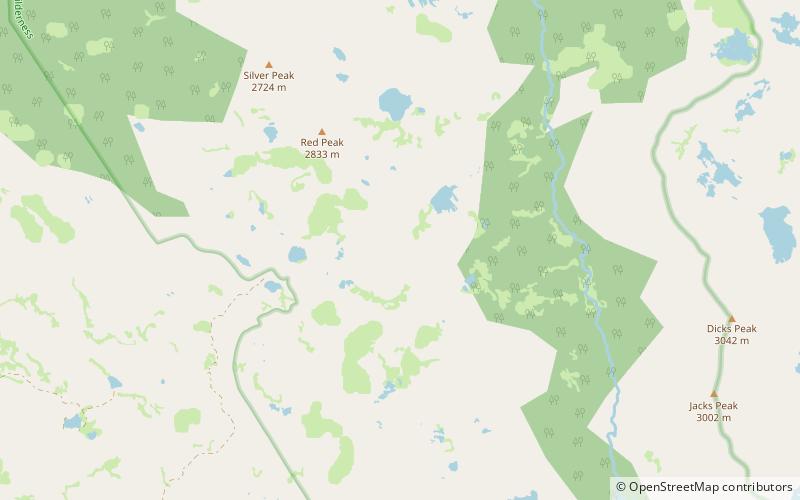
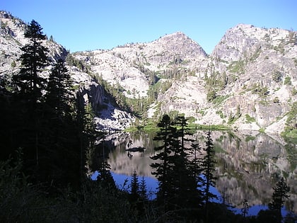
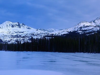
The Crystal Range is a small chain of mountain peaks in the Desolation Wilderness in the U.S. state of California. It is a subrange of the Sierra Nevada. The highest and most southerly peak is Pyramid Peak at 9985 ft; Mount Agassiz is next north at 9967 ft, with Mount Price rounding out the southern group of peaks. Tells Peak is the northernmost named peak in the range. ()
Maximum elevation: 9985 ftCoordinates: 38°54'35"N, 120°12'29"W
Address
Lake Tahoe Basin Management Unit
ContactAdd
Social media
Add
Day trips
Crystal Range – popular in the area (distance from the attraction)
Nearby attractions include: Vikingsholm, Eagle Lake, Eagle Falls trailhead, Wrights Lake.


