Park Square, Boston
Map
Map

Facts and practical information
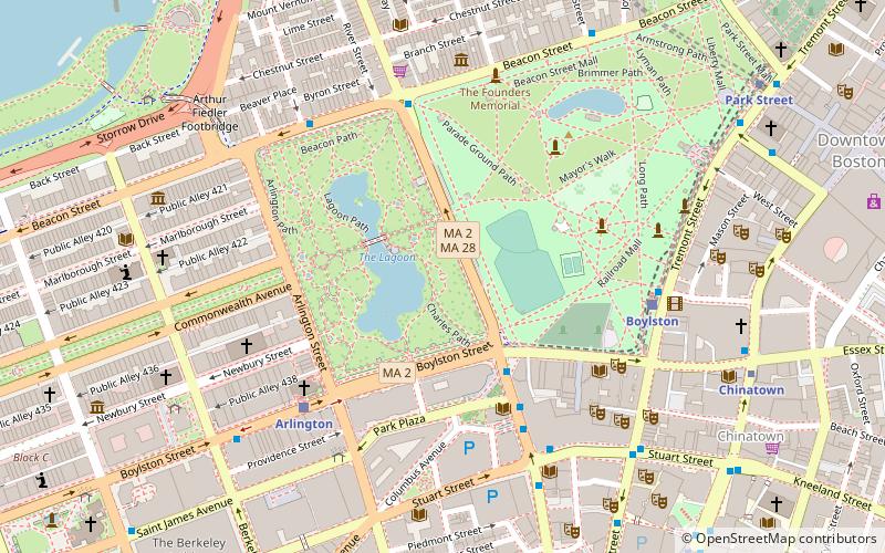
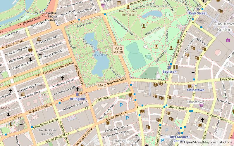
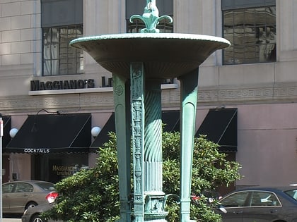
Park Square in downtown Boston, Massachusetts is bounded by Stuart, Charles Street South, Boylston, and Arlington Streets. It is the home of the Boston Four Seasons Hotel, the Boston Park Plaza, and nearly a dozen restaurants. To the north across Boylston Street is the Boston Public Garden. To the east is the Washington Street Theatre District. The Bay Village neighborhood is to the south, and Back Bay is to the west. ()
Coordinates: 42°21'10"N, 71°4'6"W
Address
Beacon HillBoston
ContactAdd
Social media
Add
Day trips
Park Square – popular in the area (distance from the attraction)
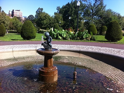
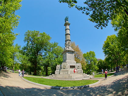
Nearby attractions include: Boston Common, Boston Public Garden Foot Bridge, Boy and Bird Fountain, Oneida Football Club Monument.
Frequently Asked Questions (FAQ)
Which popular attractions are close to Park Square?
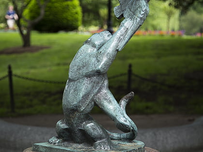
Nearby attractions include Marvin E. Goody Memorial, Boston (2 min walk), Steinert Hall, Boston (3 min walk), Bagheera Fountain, Boston (3 min walk), Swan Boats, Boston (3 min walk).
How to get to Park Square by public transport?
The nearest stations to Park Square:
Bus
Light rail
Metro
Train
Bus
- Stuart St @ Charles St S • Lines: 504, 55 (4 min walk)
- Arlington St @ Saint James Ave • Lines: 9 (5 min walk)
Light rail
- Arlington • Lines: B, C, D, E (5 min walk)
- Boylston • Lines: B, C, D, E (6 min walk)
Metro
- Chinatown • Lines: Orange (8 min walk)
- Tufts Medical Center • Lines: Orange (9 min walk)
Train
- Boston Back Bay (13 min walk)
- Boston South Station (18 min walk)
 MBTA Subway


