Central Burying Ground, Boston
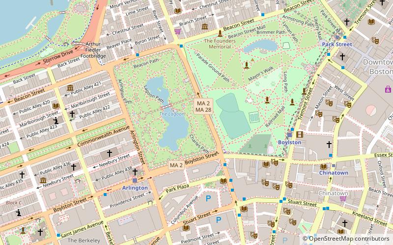
Map
Gallery
Facts and practical information
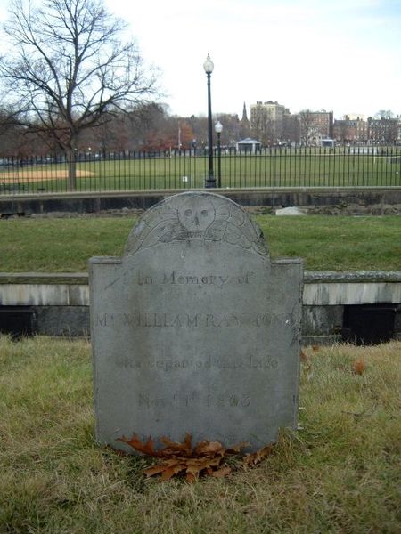
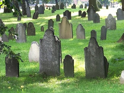
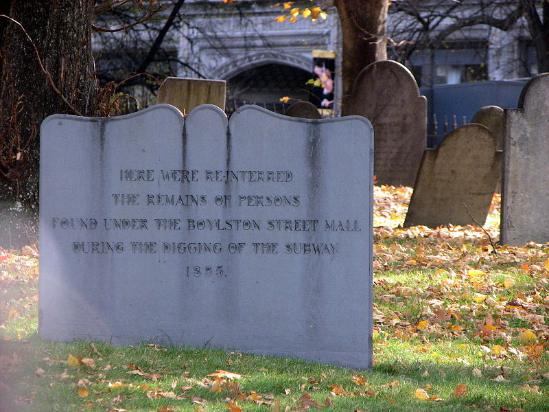
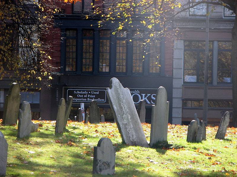
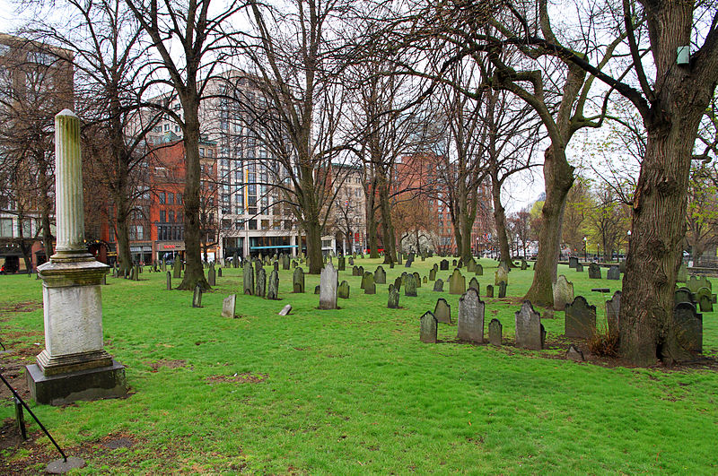
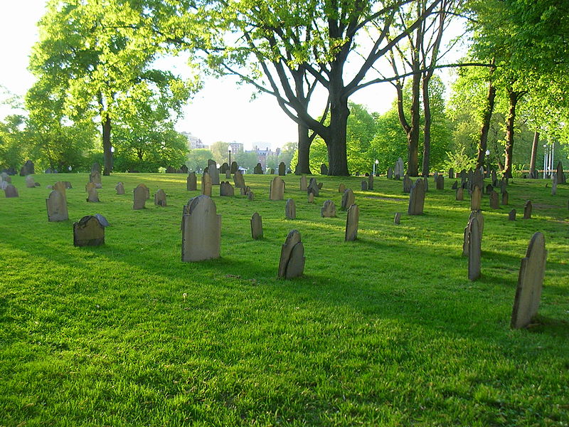
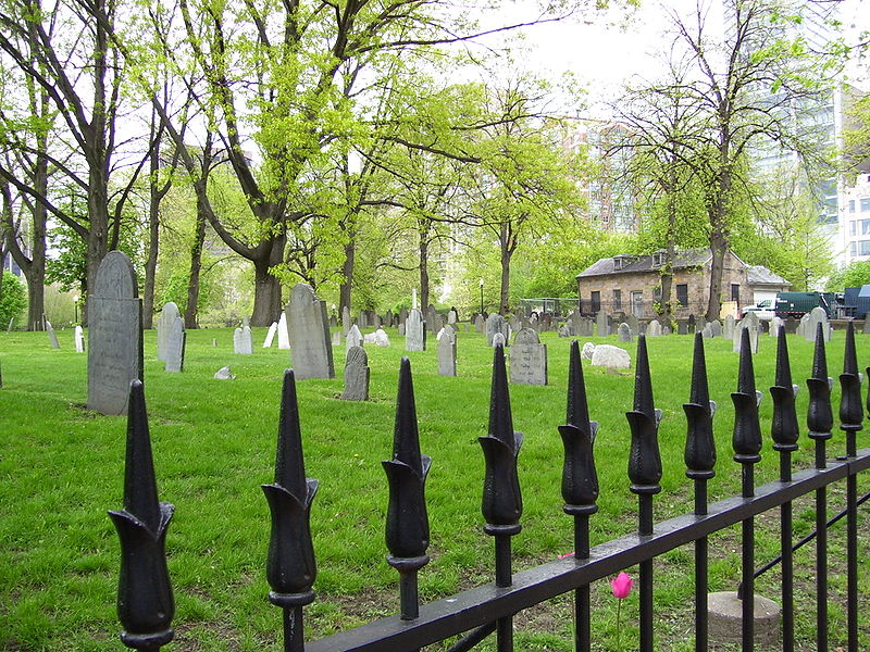
The Central Burying Ground is a cemetery in Boston, Massachusetts. It was established on Boston Common in 1756. It is located on Boylston Street between Tremont Street and Charles Street. ()
Coordinates: 42°21'10"N, 71°3'57"W
Address
Beacon HillBoston
ContactAdd
Social media
Add
Day trips
Central Burying Ground – popular in the area (distance from the attraction)
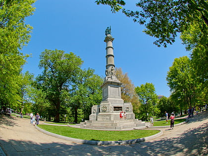
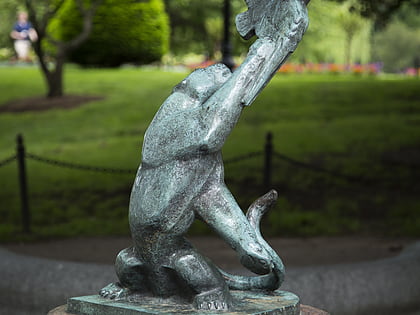
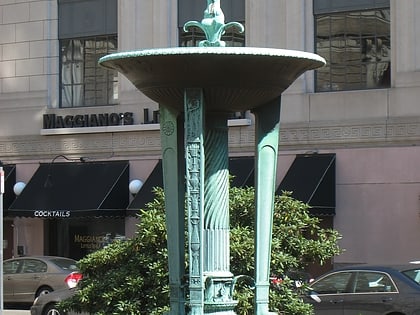
Nearby attractions include: Opera House, Parkman Plaza, Soldiers and Sailors Monument, Bagheera Fountain.
Frequently Asked Questions (FAQ)
Which popular attractions are close to Central Burying Ground?
Nearby attractions include Emerson College, Boston (1 min walk), Colonial Theatre, Boston (2 min walk), Piano Row District, Boston (2 min walk), Steinert Hall, Boston (2 min walk).
How to get to Central Burying Ground by public transport?
The nearest stations to Central Burying Ground:
Light rail
Bus
Metro
Train
Light rail
- Boylston • Lines: B, C, D, E (2 min walk)
- Park Street • Lines: B, C, D, E (8 min walk)
Bus
- Tremont St @ Boylston Station • Lines: 55 (3 min walk)
- Stuart St @ Charles St S • Lines: 504, 55 (4 min walk)
Metro
- Chinatown • Lines: Orange (5 min walk)
- Tufts Medical Center • Lines: Orange (7 min walk)
Train
- Boston South Station (15 min walk)
- Boston Back Bay (16 min walk)


 MBTA Subway

