Santa Fe Dam, Los Angeles
Map

Gallery
Facts and practical information
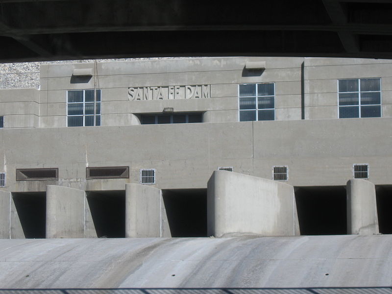
Santa Fe Dam is a flood-control dam on the San Gabriel River located in Irwindale in Los Angeles County, California, United States. For most of the year, the 92-foot -high dam and its reservoir lie empty, but can hold more than 45,000 acre-feet of water during major storms. During the dry season, the basin behind the dam is used for groundwater recharge, as well as various recreational activities. ()
Opened: 1949 (77 years ago)Length: 4.51 miHeight: 92 ftReservoir area: 1.56 mi²Coordinates: 34°7'1"N, 117°57'32"W
Address
IrwindaleLos Angeles
ContactAdd
Social media
Add
Day trips
Santa Fe Dam – popular in the area (distance from the attraction)
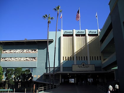
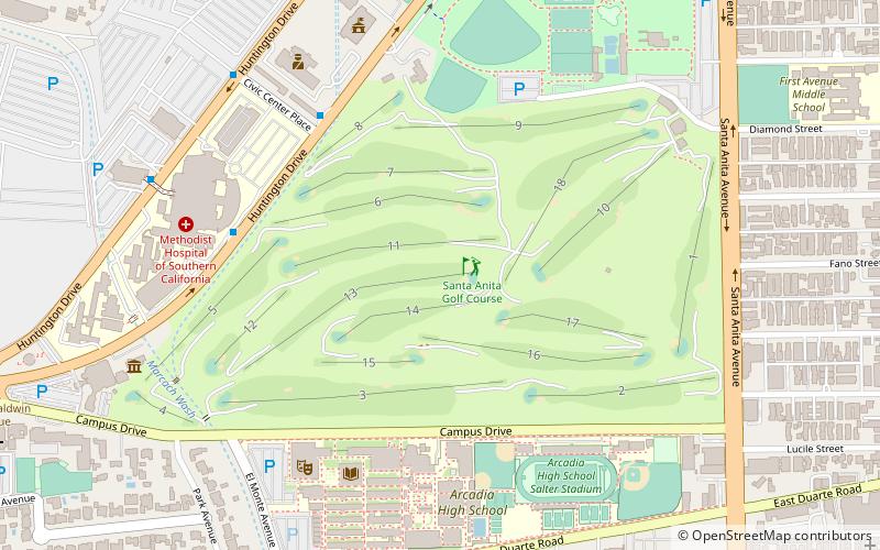
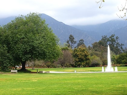
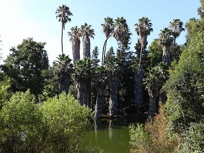
Nearby attractions include: Westfield Santa Anita, Santa Anita Park, Santa Anita Golf Course, Los Angeles County Arboretum and Botanic Garden.
Frequently Asked Questions (FAQ)
How to get to Santa Fe Dam by public transport?
The nearest stations to Santa Fe Dam:
Light rail
Light rail
- Duarte/City of Hope • Lines: L (31 min walk)

 Metro & Regional Rail
