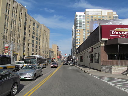
Temple Israel, Boston
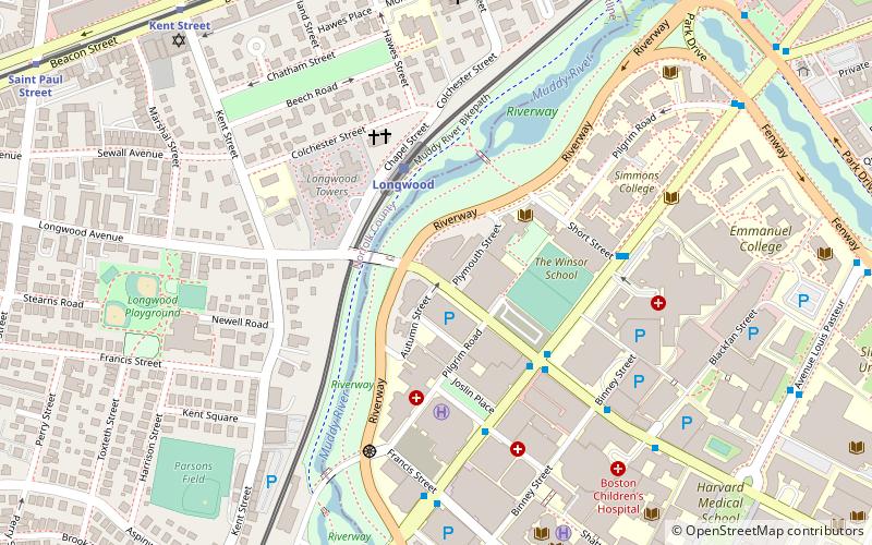
Map
Map

Facts and practical information
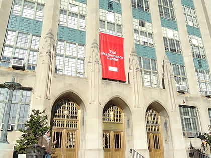
Temple Israel is a Reform synagogue in the American city of Boston, Massachusetts. Founded in 1854 as Adath Israel, the congregation is the largest Reform synagogue in Boston and New England. ()
Coordinates: 42°20'25"N, 71°6'33"W
Address
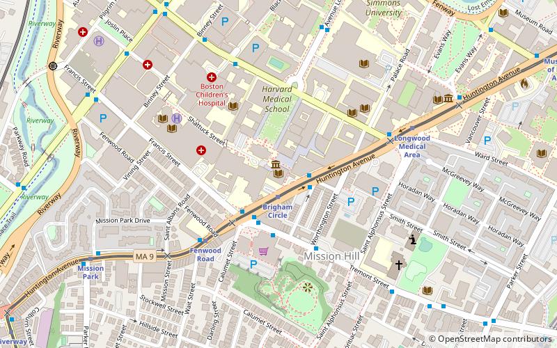
477 Longwood AveFenway - Kenmore - Audubon Circle - LongwoodBoston 02215
Contact
(617) 566-3960
Social media
Add
Day trips
Temple Israel – popular in the area (distance from the attraction)
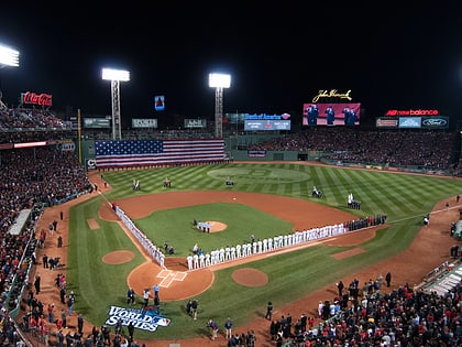
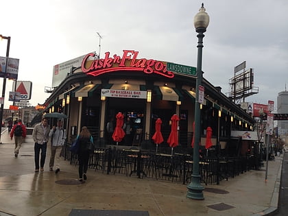
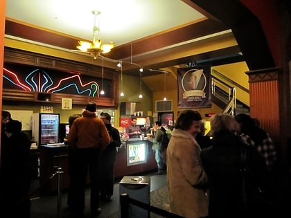
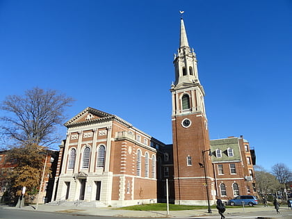
Nearby attractions include: Fenway Park, Cask 'n Flagon, Isabella Stewart Gardner Museum, Coolidge Corner Theatre.
Frequently Asked Questions (FAQ)
Which popular attractions are close to Temple Israel?
Nearby attractions include Massachusetts School of Art, Boston (5 min walk), Longwood Historic District, Boston (5 min walk), Longwood Medical and Academic Area, Boston (6 min walk), Church of Our Saviour, Boston (7 min walk).
How to get to Temple Israel by public transport?
The nearest stations to Temple Israel:
Light rail
Bus
Train
Metro
Light rail
- Longwood • Lines: D (3 min walk)
- Hawes Street • Lines: C (9 min walk)
Bus
- Longwood Ave @ Brookline Ave • Lines: 8 (4 min walk)
- Brookline Ave @ Pilgrim Rd • Lines: 8 (9 min walk)
Train
- Lansdowne (18 min walk)
- Ruggles (27 min walk)
Metro
- Roxbury Crossing • Lines: Orange (24 min walk)
- Ruggles • Lines: Orange (27 min walk)

 MBTA Subway