Pierce Boston, Boston
Map
Gallery
Facts and practical information
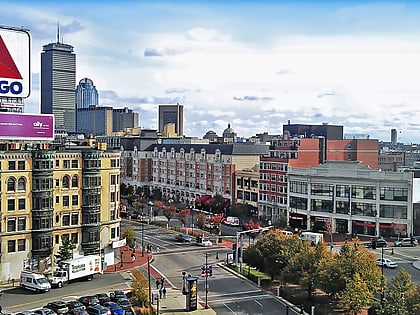
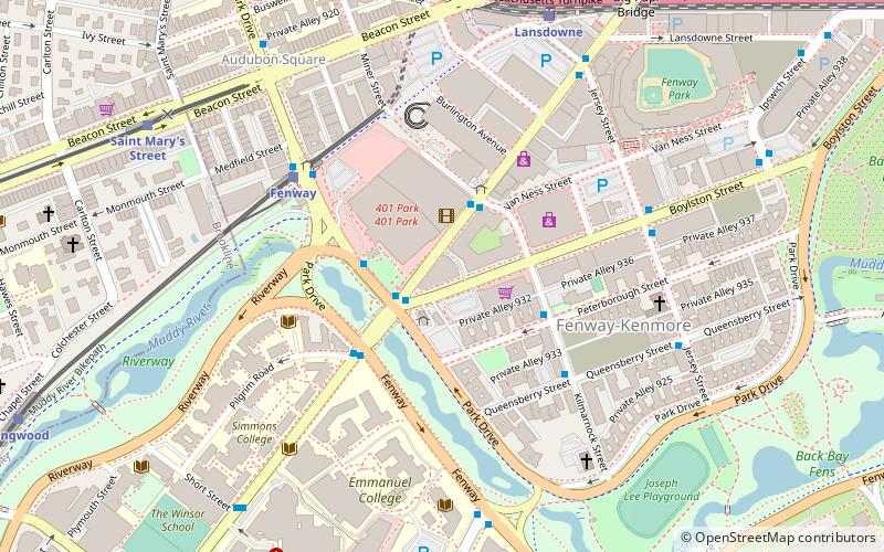
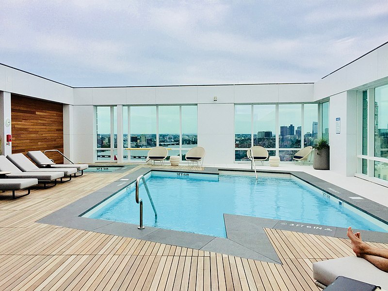
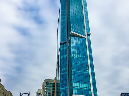
Pierce Boston is a residential apartment and condo building located in the Fenway–Kenmore neighborhood of Boston, Massachusetts, at the corner of Boylston Street and Brookline Avenue. The 30-story mixed-use development includes luxury condo, apartment, and retail components. It is the tallest building in the neighborhood. ()
Coordinates: 42°20'38"N, 71°6'6"W
Address
Fenway - Kenmore - Audubon Circle - LongwoodBoston
ContactAdd
Social media
Add
Day trips
Pierce Boston – popular in the area (distance from the attraction)
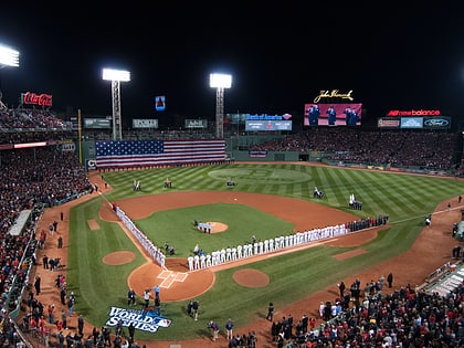
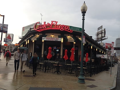
Nearby attractions include: Museum of Fine Arts, Fenway Park, Cask 'n Flagon, Isabella Stewart Gardner Museum.
Frequently Asked Questions (FAQ)
Which popular attractions are close to Pierce Boston?
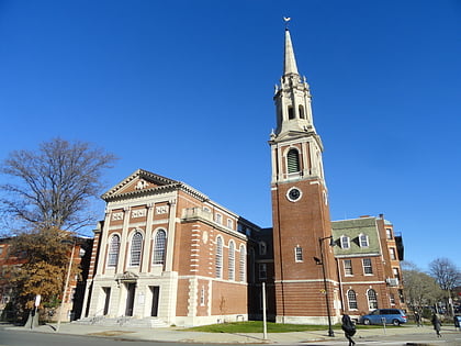
Nearby attractions include Fenway–Kenmore, Boston (4 min walk), Yawkey Way, Boston (6 min walk), Isabella Stewart Gardner Museum, Boston (7 min walk), Ruggles Baptist Church, Boston (8 min walk).
How to get to Pierce Boston by public transport?
The nearest stations to Pierce Boston:
Bus
Light rail
Train
Metro
Bus
- Brookline Ave @ Park Dr • Lines: 8 (2 min walk)
- Kilmarnock St @ Peterborough St • Lines: 55 (3 min walk)
Light rail
- Fenway • Lines: D (5 min walk)
- Saint Mary's Street • Lines: C (9 min walk)
Train
- Lansdowne (8 min walk)
- Ruggles (21 min walk)
Metro
- Ruggles • Lines: Orange (21 min walk)
- Massachusetts Avenue • Lines: Orange (24 min walk)
 MBTA Subway
