Twin Falls, Twin Falls

Map
Facts and practical information
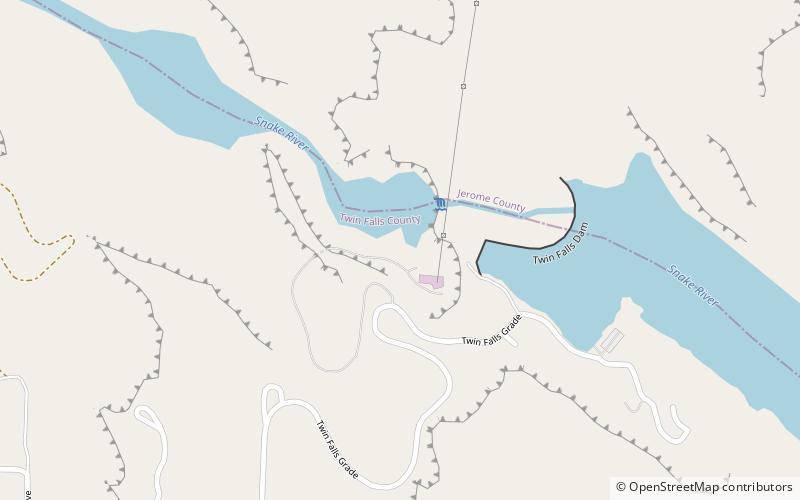
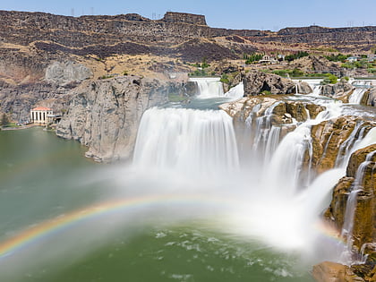
Twin Falls is a waterfall in the western United States, on the Snake River in the Snake River Canyon of south-central Idaho. The falls are located on the border of Jerome and Twin Falls counties, a few miles east of its namesake city, Twin Falls. They are upstream of Pillar Falls and Shoshone Falls and just downstream from Milner Dam. ()
Average width: 100 ftHeight: 200 ftElevation: 3402 ft a.s.l.Coordinates: 42°35'21"N, 114°21'25"W
Day trips
Twin Falls – popular in the area (distance from the attraction)
Nearby attractions include: Magic Valley Mall, Shoshone Falls, Perrine Bridge, Twin Falls Idaho Temple.


