Union Pacific Intermodal Bridge, Kansas City
Map

Map

Facts and practical information
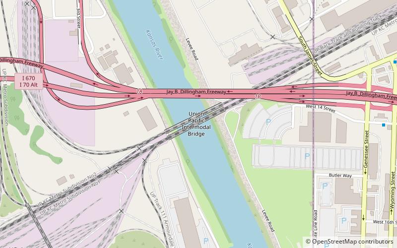
The Union Pacific Intermodal Bridge is a rail crossing of the Kansas River in Kansas City, Missouri. It was built in 1911, as a four span thru-truss on the UPRR railroad. It has a screw jack lift system to allow it to be raised to avoid flood waters. It gets its "Intermodal" part of its name because it connects to the Union Pacific Intermodal yard about 500 feet to the west. ()
Opened: 1911 (115 years ago)Coordinates: 39°5'52"N, 94°36'44"W
Address
Downtown Kansas City (Central Industrial District)Kansas City
ContactAdd
Social media
Add
Day trips
Union Pacific Intermodal Bridge – popular in the area (distance from the attraction)
Nearby attractions include: Cathedral of the Immaculate Conception, Grace and Holy Trinity Cathedral, Buck O'Neil Bridge, Strawberry Hill Museum and Cultural Center.
Frequently Asked Questions (FAQ)
Which popular attractions are close to Union Pacific Intermodal Bridge?
Nearby attractions include Missouri Pacific Bridge, Kansas City (1 min walk), I-670 Viaduct, Kansas City (2 min walk), Central Avenue Bridge, Kansas City (13 min walk), Rock Island Bridge, Kansas City (13 min walk).
How to get to Union Pacific Intermodal Bridge by public transport?
The nearest stations to Union Pacific Intermodal Bridge:
Bus
Bus
- 14th at Wyoming • Lines: 9 (11 min walk)
- Wyoming at 12th • Lines: 9 (13 min walk)


