Riverbank State Park, New York City
Map
Gallery
Facts and practical information
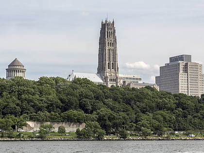
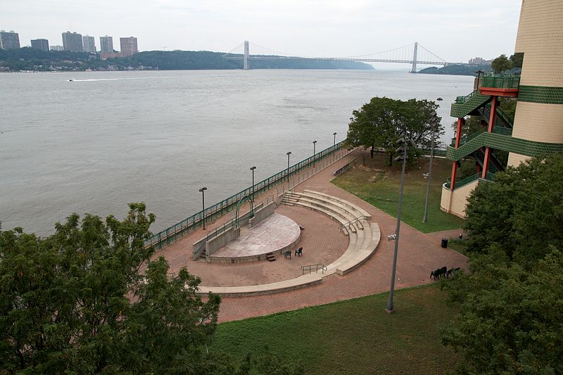
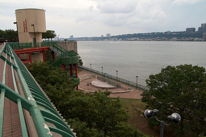
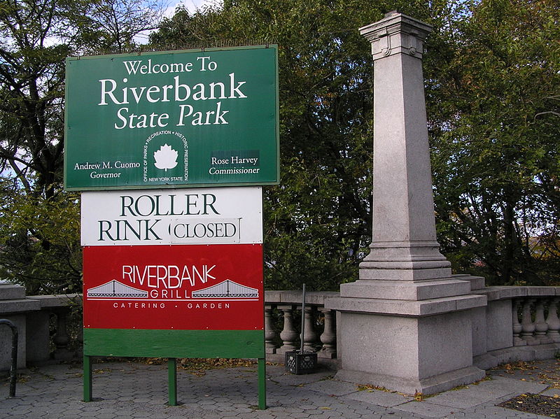
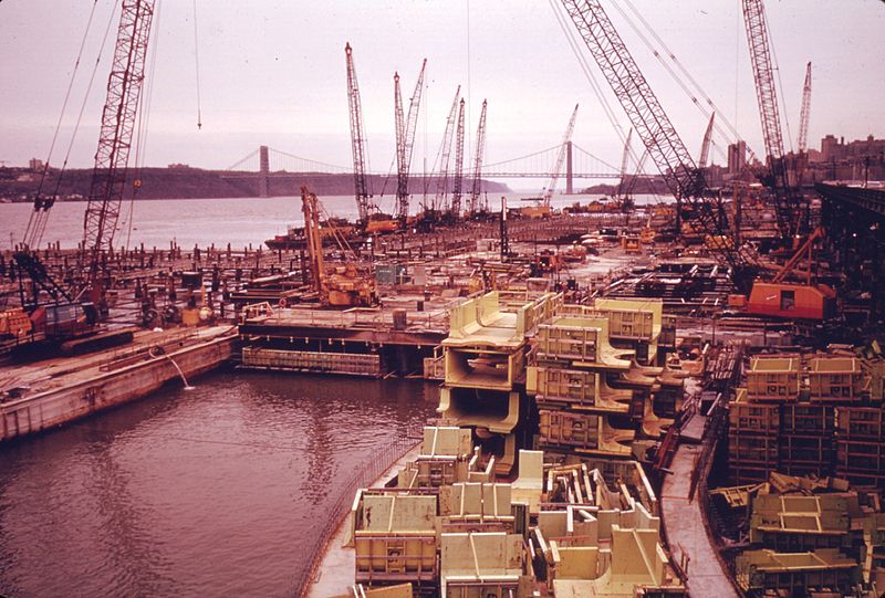
Riverbank State Park is a 28-acre state park built on top of a sewage treatment facility on the Hudson River, in the New York City borough of Manhattan. It was opened in 1993. On September 5, 2017, it was renamed Denny Farrell Riverbank State Park, after a longtime New York State Assembly member who represented the surrounding area. ()
Day trips
Riverbank State Park – popular in the area (distance from the attraction)
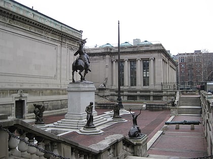
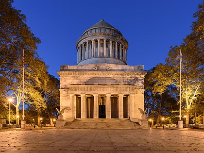
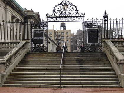
Nearby attractions include: Hispanic Society of America, Grant's Tomb, Boxers NYC Washington Heights, American Academy of Arts and Letters.
Frequently Asked Questions (FAQ)
Which popular attractions are close to Riverbank State Park?
Nearby attractions include Hamilton Heights, New York City (10 min walk), Riverside Park Community, New York City (10 min walk), Hamilton Grange Library, New York City (12 min walk), Riverside Drive, New York City (13 min walk).
How to get to Riverbank State Park by public transport?
The nearest stations to Riverbank State Park:
Metro
Bus
Metro
- 137th Street–City College • Lines: 1 (9 min walk)
- 145th Street • Lines: 1, A, B, C, D (17 min walk)
Bus
- West 145th Street & Saint Nicholas Avenue • Lines: Bx19 (17 min walk)
- Frederick Douglass Boulevard & West 145th Street • Lines: M10 (21 min walk)



 Subway
 Manhattan Buses