St. Nick's Pub, New York City
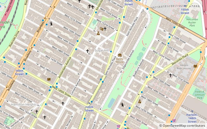
Map
Facts and practical information
St. Nick's Jazz Pub located at 773 St. Nicholas Avenue, in New York City, in the area of Harlem known as Sugar Hill, Manhattan. It was one of the oldest continuous operating jazz club in Harlem specializing in Jazz and Blues. In the 30s it was known as Poosepahtuck. In the 40s it was known as Lucky's Rendezvous and owned by Luckey Roberts. Luckey was Duke Ellington's and George Gershwin's teacher and mentor. Artists such as Art Tatum, Donald Lambert, known as Donald “The Jersey Rocket” Lambert, Marlowe Morris, Duke Ellington, Clifton Webb, performed at the Rendezvous. ()
Coordinates: 40°49'36"N, 73°56'36"W
Address
Upper Manhattan (Harlem)New York City
ContactAdd
Social media
Add
Getting there by public transportation
Public transportation stops near this location
- Metro
- Bus
- Train
 Metro
Metro
- Calculate route145th Street 2 min walk
- Calculate routeWest 145th Street & Saint Nicholas Avenue 6 min walk
- Calculate routeFrederick Douglass Boulevard & West 145th Street 8 min walk
- Calculate routeAdam Clayton Powell Jr Boulevard & West 148th Street 10 min walk
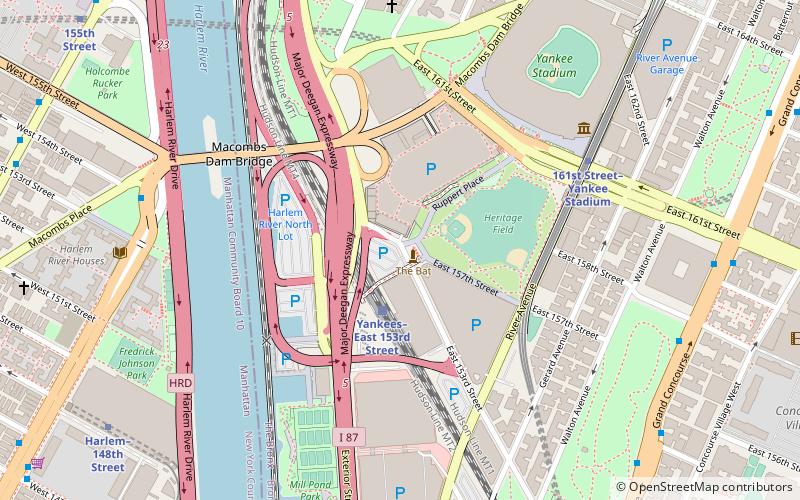
- Calculate routeYankees–East 153rd Street 18 min walk
Maps SubwayMaps
 Manhattan Buses
SubwayMapsManhattan BusesDay trips


Frequently Asked Questions (FAQ)
Which popular attractions are close to St. Nick's Pub?
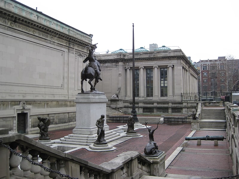
Nearby attractions include James Bailey House, New York City (3 min walk), Jackie Robinson Park, New York City (4 min walk), William A. Harris Garden, New York City (6 min walk), Hamilton Grange Library, New York City (7 min walk).
How to get to St. Nick's Pub by public transport?
The nearest stations to St. Nick's Pub:
Metro
Bus
Train
Metro
- 145th Street • Lines: A, B, C, D (2 min walk)
Bus
- West 145th Street & Saint Nicholas Avenue • Lines: Bx19 (6 min walk)
- Frederick Douglass Boulevard & West 145th Street • Lines: M10 (8 min walk)
Train
- Yankees–East 153rd Street (18 min walk)