Baltimore National Cemetery, Baltimore
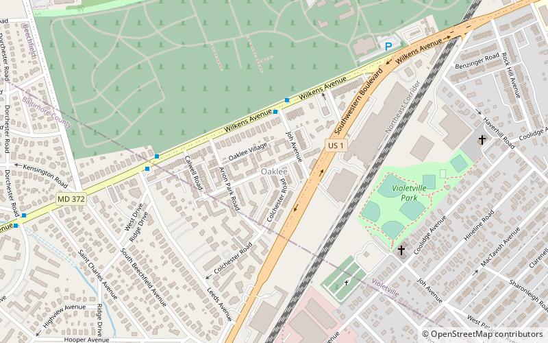
Map
Gallery
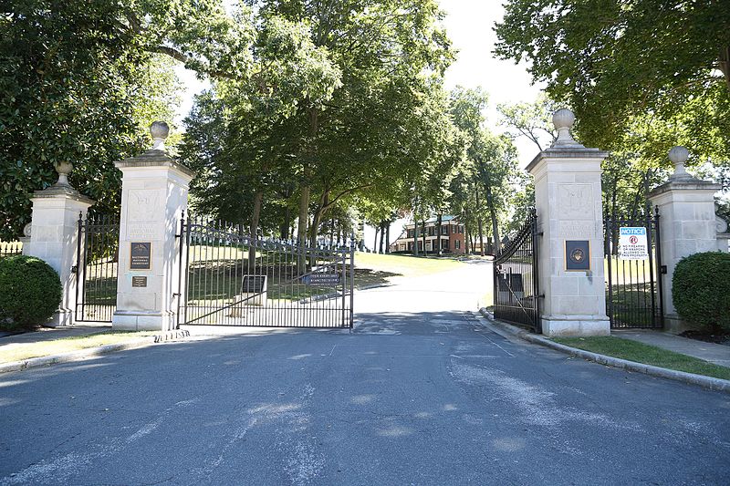
Facts and practical information
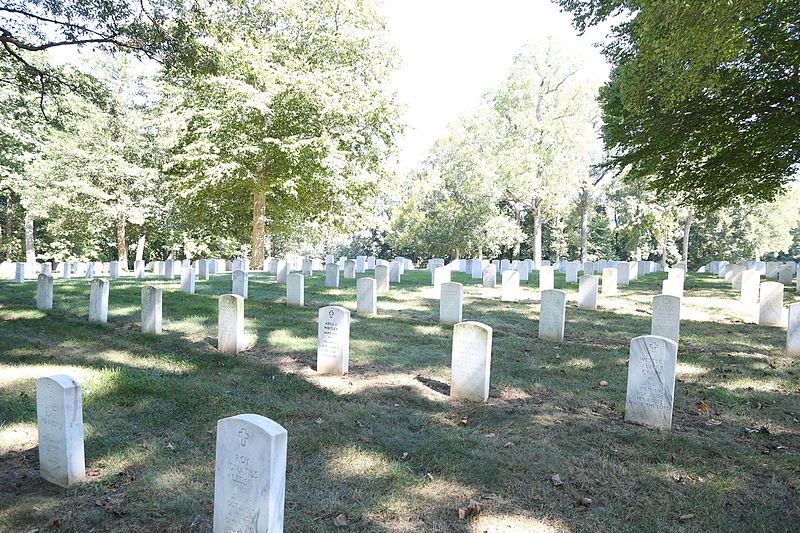
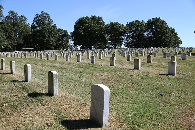
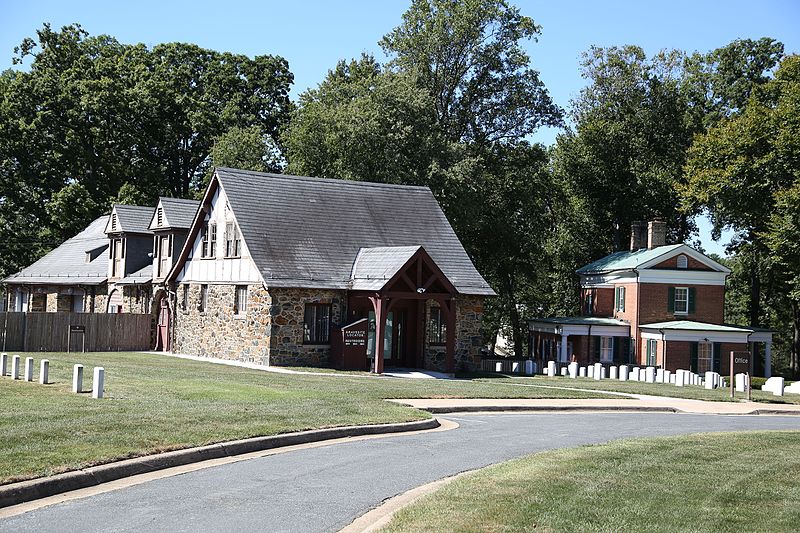
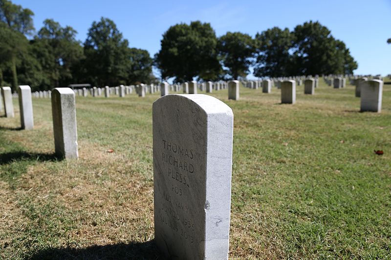
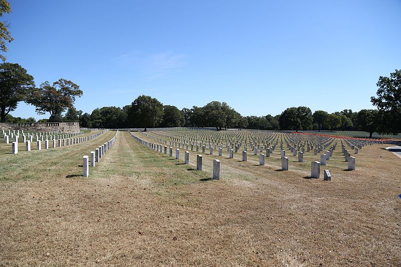
Baltimore National Cemetery is a United States National Cemetery located along Maryland Route 144 on both sides of the boundary between the neighborhoods of Beechfield in Baltimore City and Catonsville in Baltimore County. It encompasses 72.2 acres and, as of 2021, has over 47,000 interments. It was listed on the National Register of Historic Places in 2016. ()
Established: 1807 (219 years ago)Coordinates: 39°16'31"N, 76°42'23"W
Day trips
Baltimore National Cemetery – popular in the area (distance from the attraction)
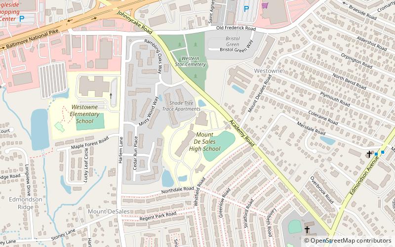
Nearby attractions include: Irvington, Schwartze Mansion, Yale Heights, Mount de Sales Academy.
Frequently Asked Questions (FAQ)
Which popular attractions are close to Baltimore National Cemetery?
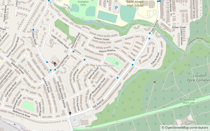
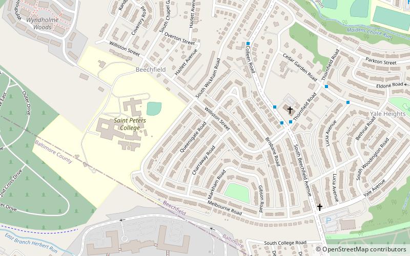
Nearby attractions include Beechfield, Baltimore (13 min walk), Yale Heights, Baltimore (23 min walk).
How to get to Baltimore National Cemetery by public transport?
The nearest stations to Baltimore National Cemetery:
Bus
Bus
- Paradise Loop (15 min walk)


