Oaklee, Baltimore
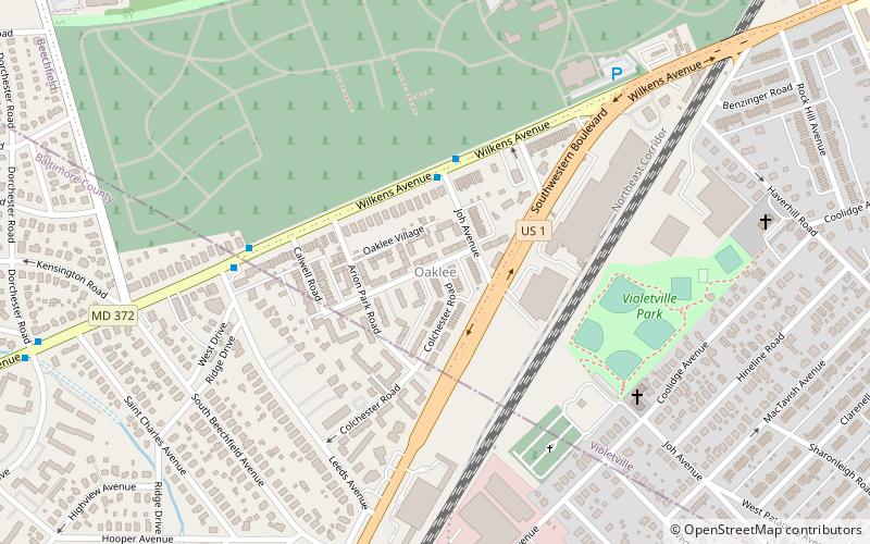
Map
Facts and practical information
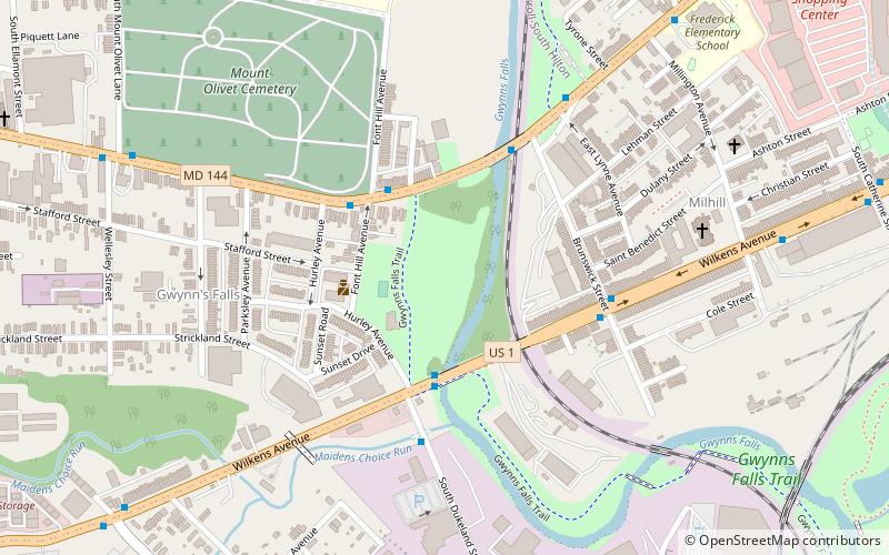
Oaklee is a neighborhood in the Southwest District of Baltimore, located at the city's edge between the neighborhoods of Irvington and Violetville. Its boundaries are triangle-shaped, with the Baltimore County line forming its southwestern base. From the triangle's apex to the northeast, U.S. Route 1 branches off from Wilkens Avenue to form the neighborhood's southeastern boundary, while Wilkens draws its northwestern edge from the apex to the base. ()
Area: 35.84 acres (0.056 mi²)Coordinates: 39°16'4"N, 76°41'6"W
Address
Southwestern Baltimore (Oaklee)Baltimore
ContactAdd
Social media
Add
Day trips
Oaklee – popular in the area (distance from the attraction)
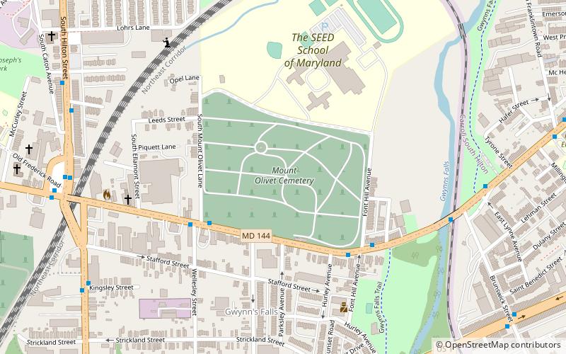
Nearby attractions include: Chesapeake Employers Insurance Arena, Baltimore National Cemetery, Loudon Park Cemetery, Mount Olivet Cemetery.
Frequently Asked Questions (FAQ)
Which popular attractions are close to Oaklee?
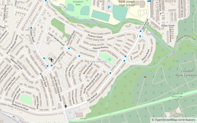
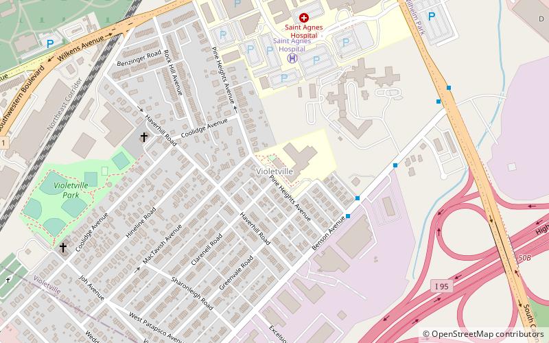
Nearby attractions include Loudon Park Cemetery, Baltimore (13 min walk), Violetville, Baltimore (15 min walk), Yale Heights, Baltimore (16 min walk), Saint Agnes, Baltimore (19 min walk).


