Irvington, Baltimore
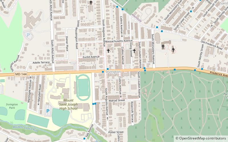
Map
Gallery
Facts and practical information
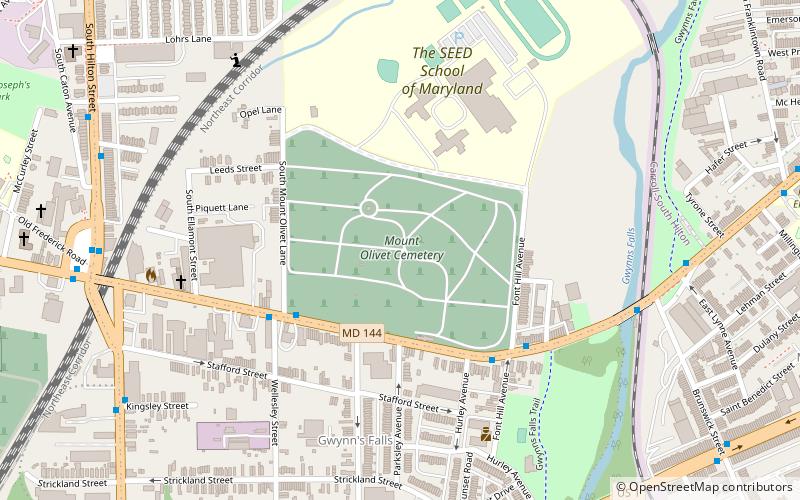
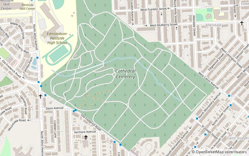
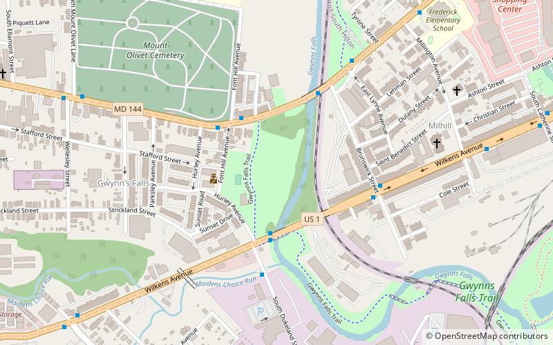
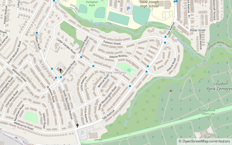
Irvington is a neighborhood in the Southwest District of Baltimore, located between Yale Heights neighborhood to the west and the Gwynns Falls neighborhood to the east. It was historically nicknamed "Skulltown" for its three large cemeteries: Loudon Park, Mount Olivet and New Cathedral. ()
Area: 1.14 mi²Coordinates: 39°16'54"N, 76°41'2"W
Address
Southwestern Baltimore (Irvington)Baltimore
ContactAdd
Social media
Add
Day trips
Irvington – popular in the area (distance from the attraction)
Nearby attractions include: Baltimore National Cemetery, Loudon Park Cemetery, Mount Olivet Cemetery, New Cathedral Cemetery.
Frequently Asked Questions (FAQ)
Which popular attractions are close to Irvington?
Nearby attractions include Schwartze Mansion, Baltimore (4 min walk), Weiskittel-Roehle Burial Vault, Baltimore (8 min walk), Loudon Park Cemetery, Baltimore (13 min walk), Loudon Park National Cemetery, Baltimore (13 min walk).
How to get to Irvington by public transport?
The nearest stations to Irvington:
Bus
Bus
- Edmonson & Shawan • Lines: 78 (24 min walk)


