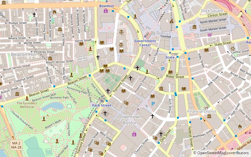
St. Anthony Shrine, Boston
Map
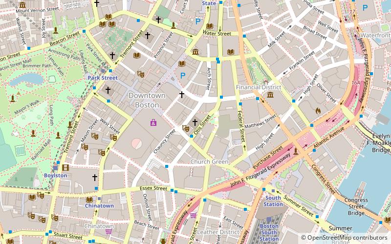
Map

Facts and practical information
St. Anthony's Shrine, the “Church on Arch Street,” is a center for Roman Catholic ministry in Boston, Massachusetts directed by the Franciscan friars of Holy Name Province. The Shrine has served the residents and workers of Boston since its completion in 1955, the community is driven by its dedication to the mission of "welcoming all people through prayer and outreach." ()
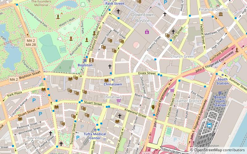
Coordinates: 42°21'17"N, 71°3'30"W
Day trips
St. Anthony Shrine – popular in the area (distance from the attraction)
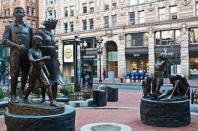
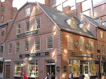
Nearby attractions include: Downtown Crossing, Opera House, Old South Meeting House, Irish Famine Memorial.
Frequently Asked Questions (FAQ)
Which popular attractions are close to St. Anthony Shrine?
Nearby attractions include Winthrop Square, Boston (1 min walk), Summer Street, Boston (2 min walk), Trans National Place, Boston (2 min walk), Church Green Buildings Historic District, Boston (3 min walk).
How to get to St. Anthony Shrine by public transport?
The nearest stations to St. Anthony Shrine:
Bus
Metro
Light rail
Train
Bus
- Otis St @ Summer St • Lines: 504, 7 (1 min walk)
- Federal St @ Franklin St • Lines: 504 (3 min walk)
Metro
- Downtown Crossing • Lines: Orange, Red (3 min walk)
- South Station • Lines: Red (6 min walk)
Light rail
- Park Street • Lines: B, C, D, E (7 min walk)
- Boylston • Lines: B, C, D, E (9 min walk)
Train
- Boston South Station (7 min walk)
- Boston North Station (22 min walk)
 MBTA Subway


