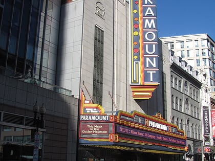
Paramount Theatre, Boston
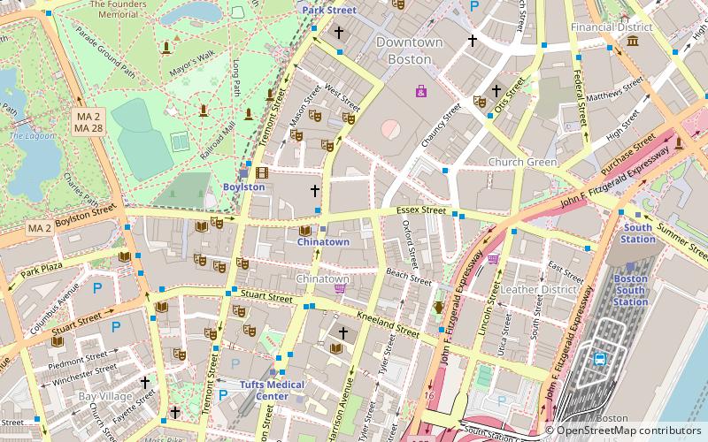
Map
Map

Facts and practical information
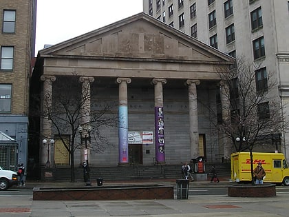
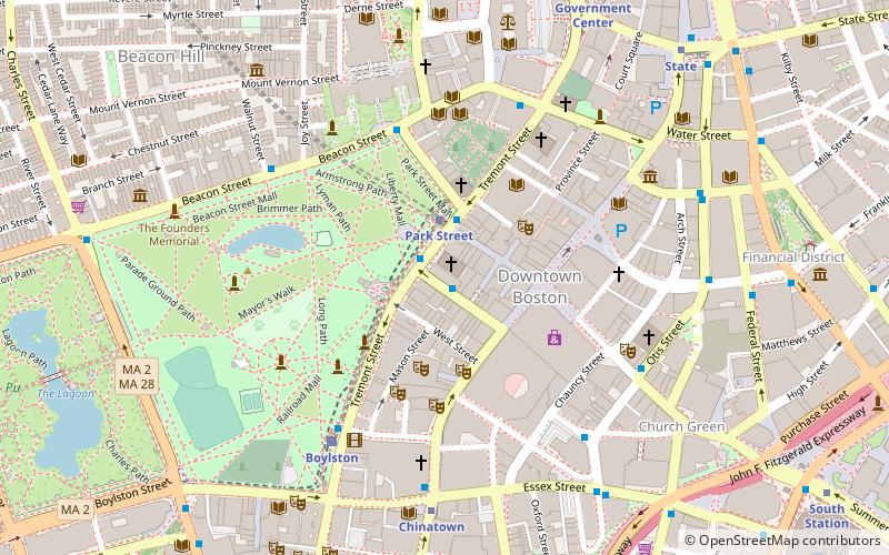
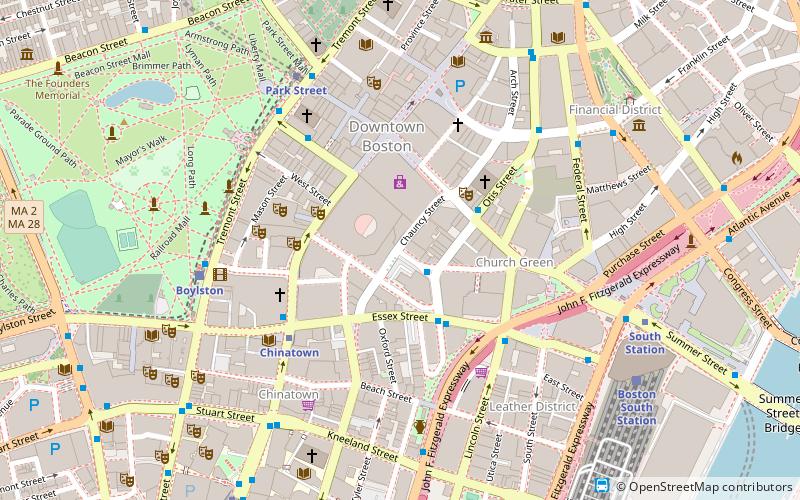
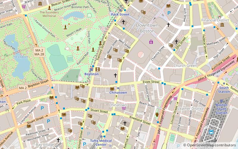
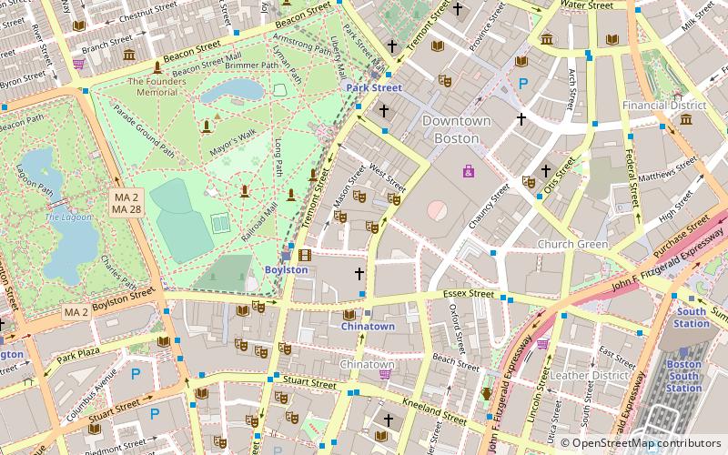
Paramount Theatre is a theatre in Boston on Washington Street, between Avery and West Streets. ()
Coordinates: 42°21'13"N, 71°3'46"W
Day trips
Paramount Theatre – popular in the area (distance from the attraction)
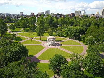
Nearby attractions include: Downtown Crossing, Opera House, Parkman Plaza, Central Burying Ground.
Frequently Asked Questions (FAQ)
Which popular attractions are close to Paramount Theatre?
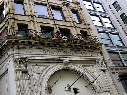
Nearby attractions include Boston Theater District, Boston (1 min walk), Opera House, Boston (1 min walk), The Boston Theatre, Boston (2 min walk), Modern Theatre, Boston (2 min walk).
How to get to Paramount Theatre by public transport?
The nearest stations to Paramount Theatre:
Metro
Bus
Light rail
Train
Metro
- Chinatown • Lines: Orange (3 min walk)
- Downtown Crossing • Lines: Orange, Red (5 min walk)
Bus
- Tremont St @ Boylston Station • Lines: 55 (3 min walk)
- Kneeland St @ Washington St • Lines: 504 (6 min walk)
Light rail
- Boylston • Lines: B, C, D, E (3 min walk)
- Park Street • Lines: B, C, D, E (5 min walk)
Train
- Boston South Station (11 min walk)
- Boston Back Bay (20 min walk)
 MBTA Subway


