Playland Café, Boston
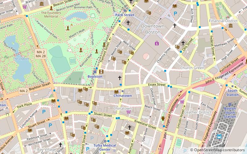
Map
Facts and practical information
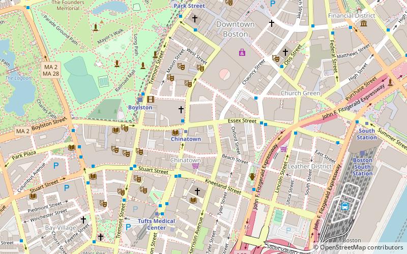
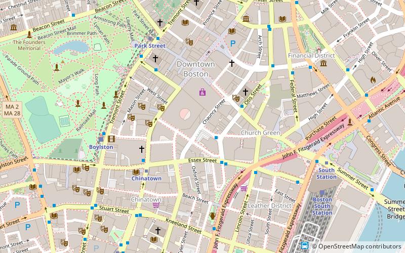
The Playland Café, located at 21 Essex Street in Boston, Massachusetts, was Boston's oldest gay bar. ()
Coordinates: 42°21'8"N, 71°3'43"W
Address
Chinatown - Leather DistrictBoston
ContactAdd
Social media
Add
Getting there by public transportation
Public transportation stops near this location
- Metro
- Bus
- Light rail
- Train
 Metro
Metro
- Calculate routeChinatown 1 min walk
- Calculate routeDowntown Crossing 6 min walk
- Calculate routeTufts Medical Center 7 min walk
- Calculate routePark Street 8 min walk
- Calculate routeKneeland St @ Washington St 3 min walk
- Calculate routeTremont St @ Boylston Station 4 min walk
- Calculate routeSurface Artery @ Kneeland St 5 min walk
- Calculate routeLincoln St @ Essex St 6 min walk
- Calculate routeBoylston 4 min walk
- Calculate routePark Street 7 min walk
- Calculate routeArlington 13 min walk
- Calculate routeGovernment Center 14 min walk
- Calculate routeBoston South Station 9 min walk
- Calculate routeBoston Back Bay 20 min walk
- Calculate routeBoston North Station 25 min walk
Maps MBTA Subway
MBTA SubwayDay trips


Frequently Asked Questions (FAQ)
Which popular attractions are close to Playland Café?
Nearby attractions include Selwyn's Theatre, Boston (2 min walk), Liberty Tree District, Boston (2 min walk), Millennium Place, Boston (2 min walk), Combat Zone, Boston (2 min walk).
How to get to Playland Café by public transport?
The nearest stations to Playland Café:
Metro
Bus
Light rail
Train
Metro
- Chinatown • Lines: Orange (1 min walk)
- Downtown Crossing • Lines: Orange, Red (6 min walk)
Bus
- Kneeland St @ Washington St • Lines: 504 (3 min walk)
- Tremont St @ Boylston Station • Lines: 55 (4 min walk)
Light rail
- Boylston • Lines: B, C, D, E (4 min walk)
- Park Street • Lines: B, C, D, E (7 min walk)
Train
- Boston South Station (9 min walk)
- Boston Back Bay (20 min walk)