Broadway Bridge, New York City
Map
Gallery
Facts and practical information
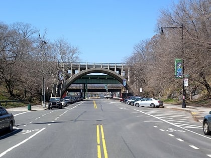
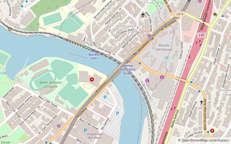
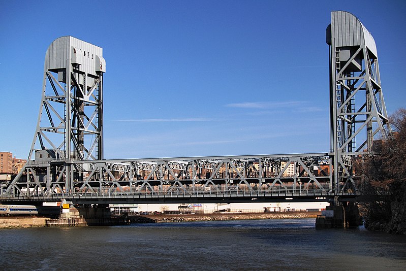
The Broadway Bridge is a vertical-lift bridge across the Harlem River Ship Canal in the borough of Manhattan in New York City. It connects the neighborhoods of Inwood on Manhattan Island and Marble Hill on the mainland. The bridge consists of two decks. The lower deck carries Broadway, which is designated as U.S. Route 9 at this location. The upper deck carries the New York City Subway's IRT Broadway–Seventh Avenue Line, serving the 1 train. ()
Day trips
Broadway Bridge – popular in the area (distance from the attraction)
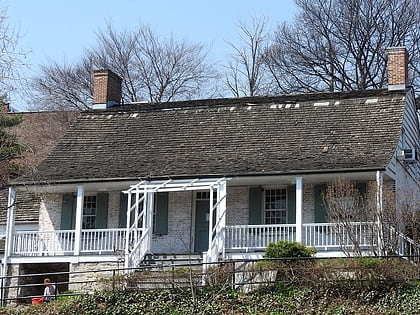
Nearby attractions include: Dyckman Farmhouse Museum, Dyckman Street, Inwood Hill Park, Edgar Allan Poe Cottage.
Frequently Asked Questions (FAQ)
Which popular attractions are close to Broadway Bridge?
Nearby attractions include Saint Stephen's Methodist Episcopal Church, New York City (7 min walk), Seaman-Drake Arch, New York City (8 min walk), Muscota Marsh, New York City (10 min walk), Kingsbridge, New York City (12 min walk).
How to get to Broadway Bridge by public transport?
The nearest stations to Broadway Bridge:
Metro
Train
Bus
Metro
- Marble Hill–225th Street • Lines: 1 (3 min walk)
- 215th Street • Lines: 1 (10 min walk)
Train
- Marble Hill (4 min walk)
- Spuyten Duyvil (18 min walk)
Bus
- Goulden Avenue & Bedford Park Boulevard West • Lines: Bx22 (23 min walk)
- Webster Avenue & East Fordham Road • Lines: Bx41 (34 min walk)

 Subway
 Manhattan Buses