Smith and Bybee Wetlands Natural Area, Portland
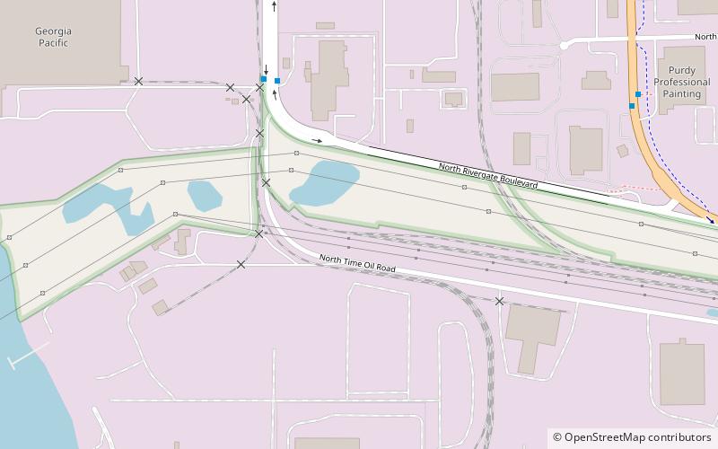
Map

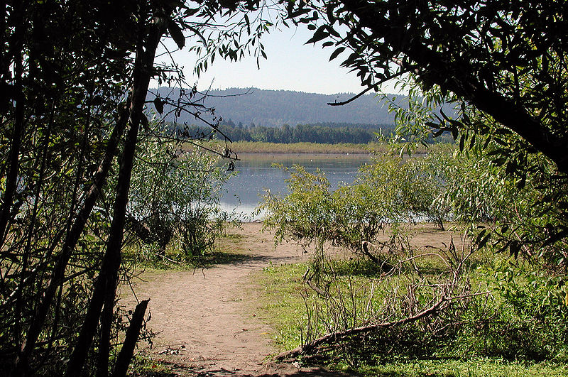
Gallery

Facts and practical information
Smith and Bybee Wetlands Natural Area is a public park and nature reserve between the Columbia Slough and the Columbia River in Portland, Oregon. At about 2,000 acres, it is one of the largest urban freshwater wetlands in the United States. Metro, the regional government for the Oregon part of the Portland metropolitan area, manages the park. A covered shelter, restrooms, a paved walkway, and a canoe launch lie on the north side of the natural area. ()
Elevation: 16 ft a.s.l.Coordinates: 45°37'2"N, 122°46'41"W
Day trips
Smith and Bybee Wetlands Natural Area – popular in the area (distance from the attraction)
Nearby attractions include: St. Johns Bridge, Cathedral Park, Burlington Northern Railroad Bridge 5.1, Pier Park.
Frequently Asked Questions (FAQ)
How to get to Smith and Bybee Wetlands Natural Area by public transport?
The nearest stations to Smith and Bybee Wetlands Natural Area:
Bus
Bus
- 13300 Block North Rivergate • Lines: 11 (5 min walk)
- 13200 Block North Lombard • Lines: 11 (9 min walk)


