Wacker Drive, Chicago
Facts and practical information
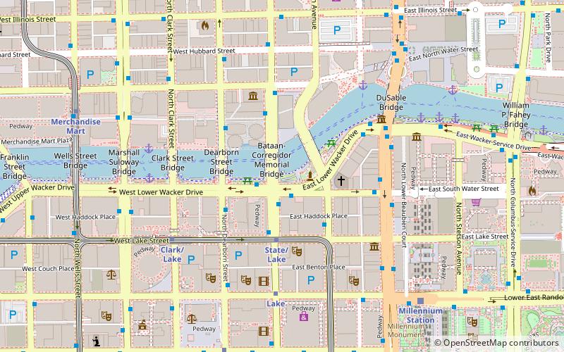
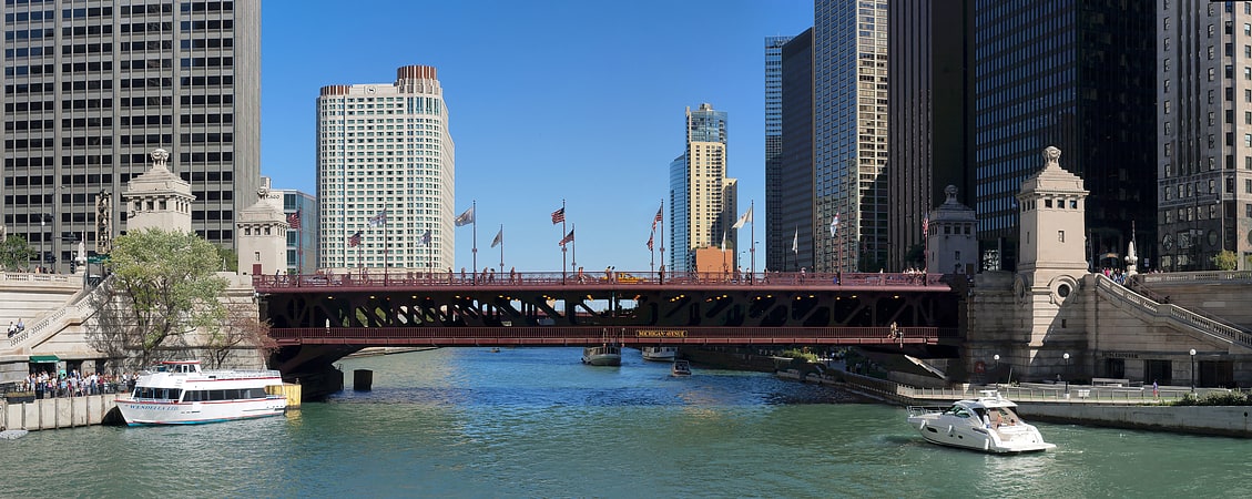
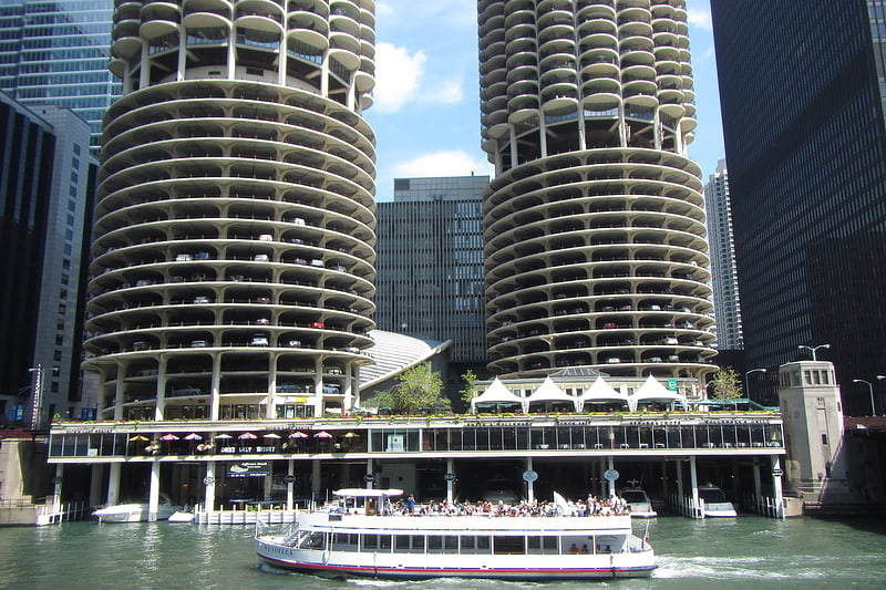
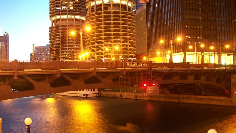
Wacker Drive is a major multilevel street in Chicago, Illinois, running along the south side of the main branch and the east side of the south branch of the Chicago River in the Loop. The vast majority of the street is double-decked; the upper level intended for local traffic, and the lower level for through-traffic and trucks serving buildings on the road. It is sometimes cited as a precursor to the modern freeway, though when it was built the idea was that pleasure vehicles would use the upper level. It is the only street in the city that is prefixed with all four cardinal directions, albeit on different parts of its route. The drive is named for early 20th century Chicago businessman and city planner Charles H. Wacker. ()
Downtown (The Loop)Chicago
- Metro
- Bus
- Train
 Metro
Metro
- Calculate routeWacker & State EB 1 min walk
- Calculate routeState & Wacker 2 min walk
- Calculate routeState & Lake 3 min walk
- Calculate routeState/Lake 3 min walk
- Calculate routeLake 4 min walk
- Calculate routeClark/Lake 6 min walk
- Calculate routeWashington 8 min walk
- Calculate routeMillennium Station 8 min walk
- Calculate routeOgilvie Transportation Center 18 min walk
- Calculate routeVan Buren Street 20 min walk
- Calculate routeChicago Union Station 22 min walk
 Rail "L"
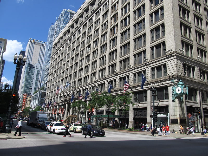


Frequently Asked Questions (FAQ)
Which popular attractions are close to Wacker Drive?
How to get to Wacker Drive by public transport?
Bus
- Wacker & State EB • Lines: 134, 135, 136 (1 min walk)
- State & Wacker • Lines: 10, 2, 29 (2 min walk)
Metro
- State/Lake • Lines: Brown, Green, Orange, Pink, Purple (3 min walk)
- Lake • Lines: Red (4 min walk)
Train
- Millennium Station (8 min walk)
- Ogilvie Transportation Center (18 min walk)