Marina City, Chicago
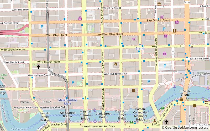
Map
Gallery
Facts and practical information
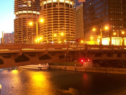
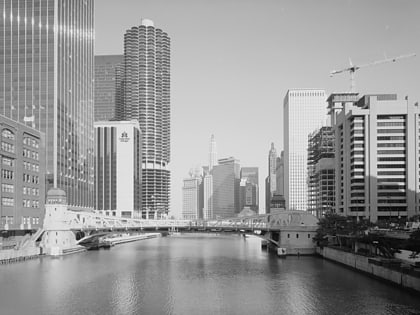
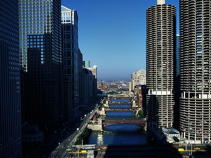
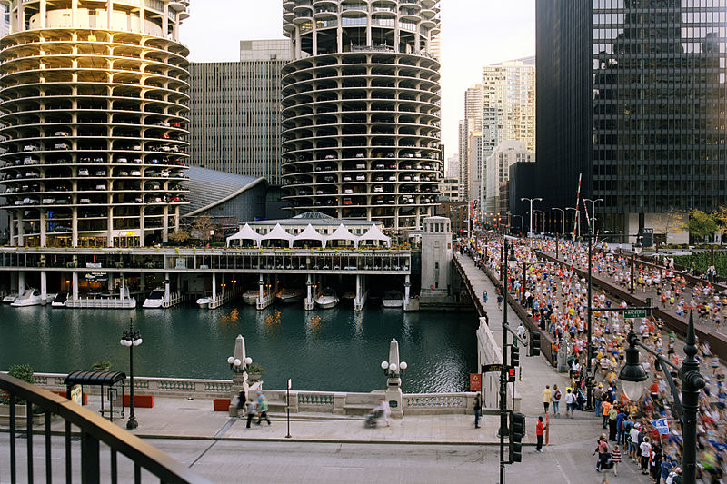
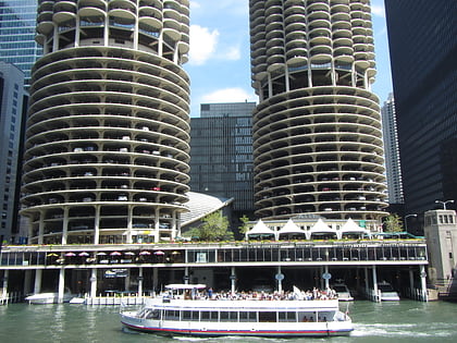
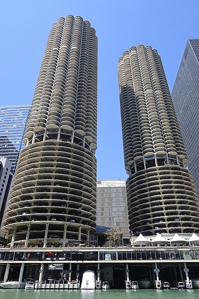
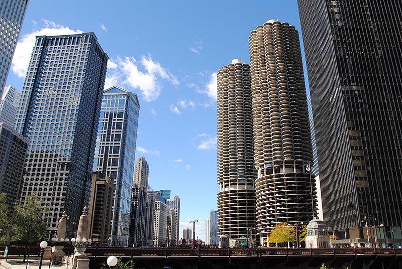
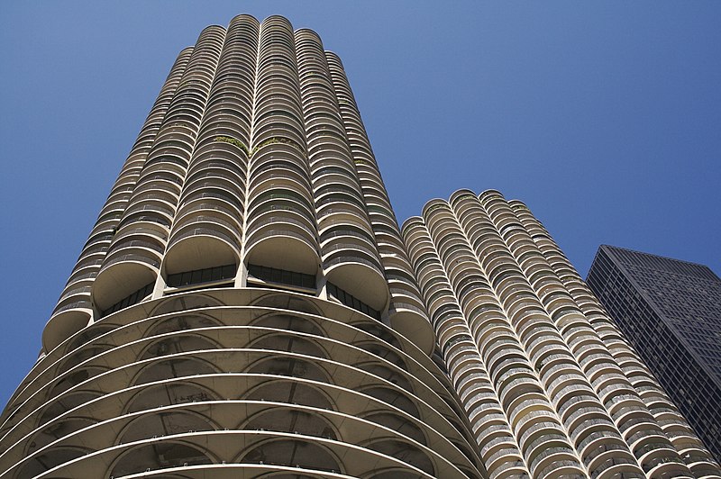
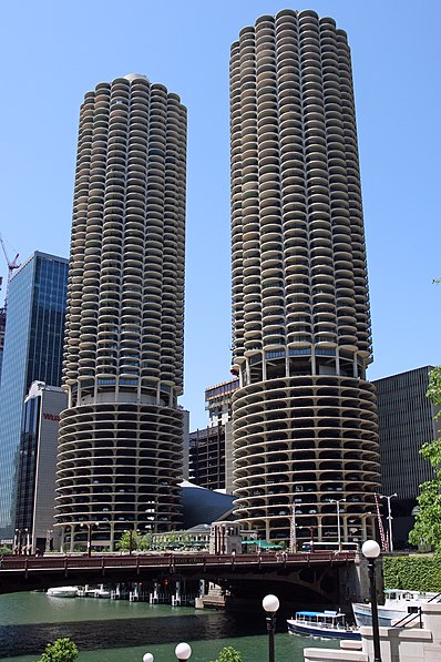
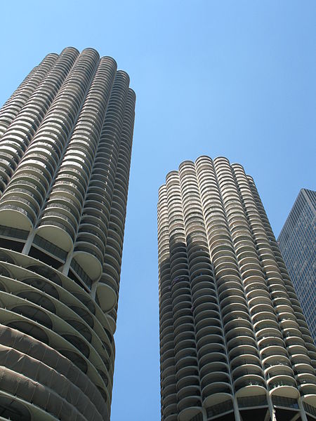
Marina City, affectionately known as "the corn cob", is a mixed-use residential-commercial building complex in Chicago, Illinois, United States, North America, designed by architect Bertrand Goldberg. The multi-building complex opened between 1963 and 1967 and occupies almost an entire city block on State Street on the north bank of the Chicago River on the Near North Side, directly across from the Loop. Portions of the complex were designated a Chicago Landmark in 2016. ()
Address
300 N State StDowntown (Near North Side)Chicago 60654-5414
Contact
+1 312-222-1111
Social media
Add
Day trips
Marina City – popular in the area (distance from the attraction)
Nearby attractions include: Michigan Avenue Bridge, Chicago Theatre, Andy's Jazz Club, Frontera Grill.
Frequently Asked Questions (FAQ)
Which popular attractions are close to Marina City?
Nearby attractions include Dearborn Street Bridge, Chicago (2 min walk), Bataan-Corregidor Memorial Bridge, Chicago (2 min walk), Wacker Drive, Chicago (3 min walk), ABA Museum of Law, Chicago (3 min walk).
How to get to Marina City by public transport?
The nearest stations to Marina City:
Bus
Metro
Train
Bus
- Dearborn & Marina City • Lines: 22, 36, 62, (N) N22, (N) N62 (1 min walk)
- State & Marina City • Lines: 29, 36, 62, (N) N62 (2 min walk)
Metro
- State/Lake • Lines: Brown, Green, Orange, Pink, Purple (5 min walk)
- Lake • Lines: Red (5 min walk)
Train
- Millennium Station (10 min walk)
- Ogilvie Transportation Center (18 min walk)


 Rail "L"

