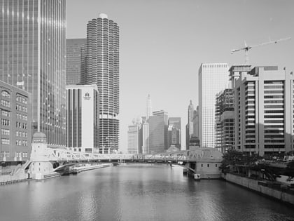
Clark Street Bridge, Chicago
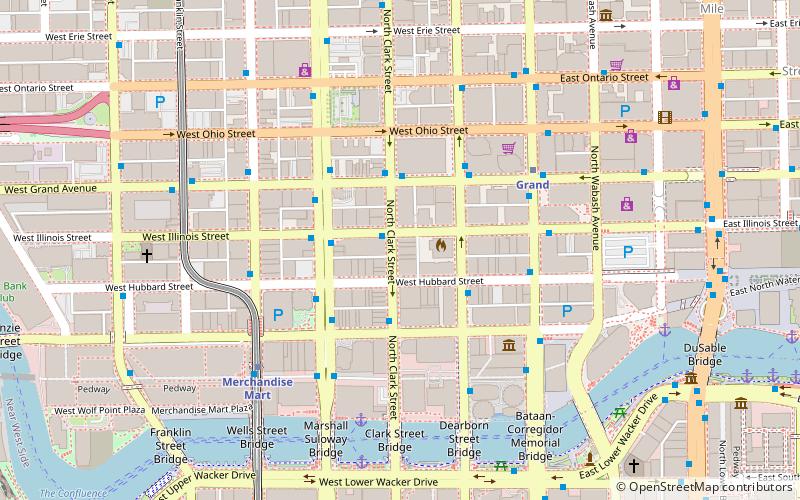
Map
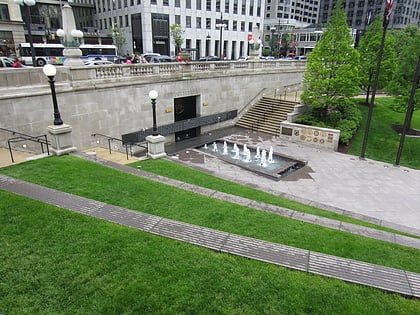
Gallery
Facts and practical information
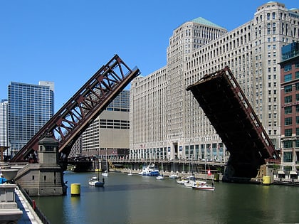
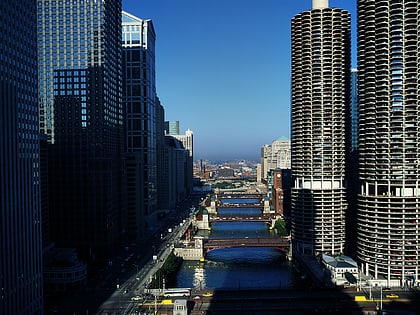
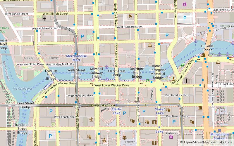
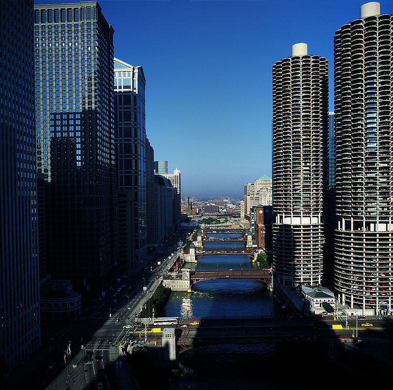
The Clark Street Bridge is a bascule bridge that spans the Chicago River in downtown Chicago, connecting the Near North Side with The Loop via Clark Street. ()
Opened: 1929 (97 years ago)Length: 346 ftWidth: 215 ftCoordinates: 41°53'15"N, 87°37'52"W
Day trips
Clark Street Bridge – popular in the area (distance from the attraction)
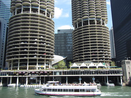
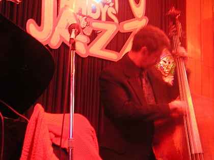
Nearby attractions include: Chicago Theatre, Marina City, Andy's Jazz Club, Frontera Grill.
Frequently Asked Questions (FAQ)
Which popular attractions are close to Clark Street Bridge?
Nearby attractions include ABA Museum of Law, Chicago (2 min walk), Reid, Chicago (2 min walk), OneEleven, Chicago (2 min walk), 77 West Wacker Drive, Chicago (2 min walk).
How to get to Clark Street Bridge by public transport?
The nearest stations to Clark Street Bridge:
Bus
Metro
Train
Bus
- Dearborn & Marina City • Lines: 22, 36, 62, (N) N22, (N) N62 (3 min walk)
- 321 N LaSalle NB • Lines: 156 (3 min walk)
Metro
- Clark/Lake • Lines: Blue, Brown, Green, Orange, Pink, Purple (4 min walk)
- Merchandise Mart • Lines: Brown, Purple (5 min walk)
Train
- Millennium Station (12 min walk)
- Ogilvie Transportation Center (15 min walk)
 Rail "L"
