Panhandle, San Francisco

Facts and practical information
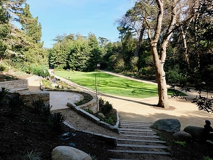
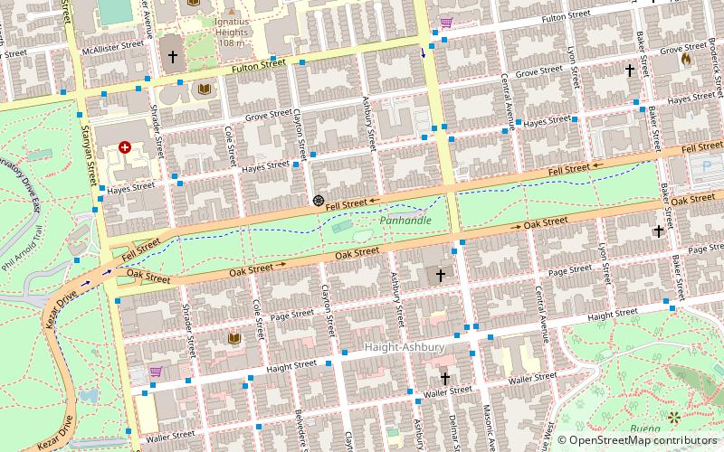
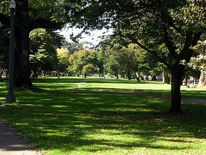
The Panhandle is a public park in San Francisco, California, so named because it forms a panhandle with Golden Gate Park. It is long and narrow, being three-quarters of a mile long and just one block wide. Fell and Oak Streets border it to the north and south, Baker Street to the east, and to the west Stanyan Street which separates the smaller Panhandle from the much larger Golden Gate Park. One street crosses the Panhandle, Masonic Avenue, roughly in the middle. In its westernmost block, Oak and Fell Streets angle across the Panhandle, converge with one another, and continue west of Stanyan as John F. Kennedy Drive and Kezar Drive. ()
btwn Fell St and Oak StNorthwest San Francisco (Panhandle)San Francisco 94117
Panhandle – popular in the area (distance from the attraction)
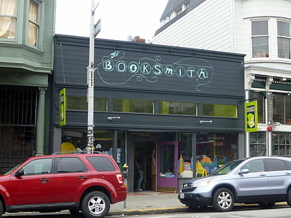
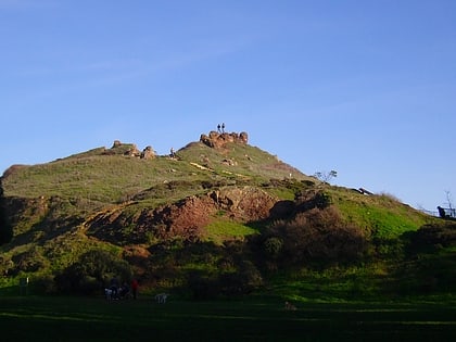
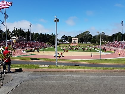
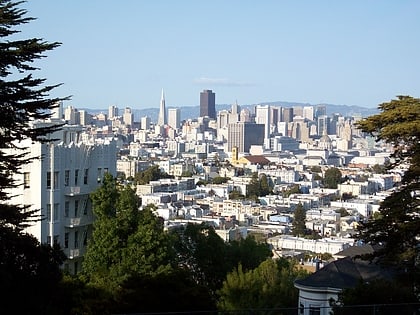
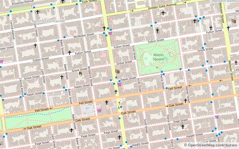
Nearby attractions include: Haight Street, Conservatory of Flowers, Booksmith, Alamo Square.
Frequently Asked Questions (FAQ)
Which popular attractions are close to Panhandle?
How to get to Panhandle by public transport?
Bus
- Masonic Avenue & Oak Street • Lines: 43 (4 min walk)
- Ashbury Street & Haight Street • Lines: 37 (5 min walk)
Trolleybus
- Ashbury Street & Haight Street • Lines: 33 (5 min walk)
- Haight Street & Clayton Street • Lines: 33 (5 min walk)
Light rail
- Carl Street & Cole Street • Lines: N (12 min walk)
- Irving Street & Arguello Boulevard • Lines: N (20 min walk)
Train
- Carl Street & Cole Street (12 min walk)
- UCSF Parnassus (21 min walk)
Tram
- Market Street & Noe Street • Lines: F (26 min walk)
- 17th Street & Castro Street • Lines: F (26 min walk)
 Muni Metro

