Buena Vista Park, San Francisco

Gallery (3)
Map
Map
Gallery
Facts and practical information
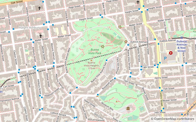
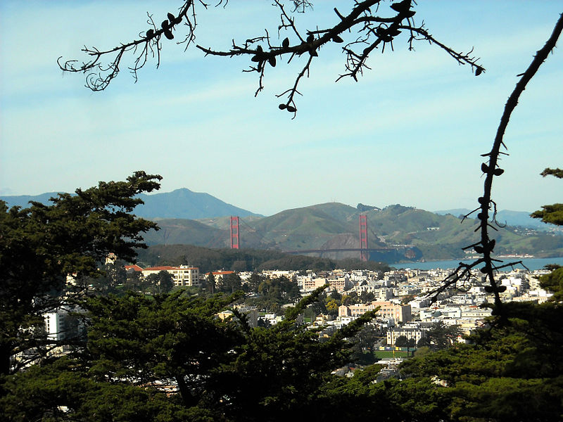
Buena Vista Park is a park in the Haight-Ashbury and Buena Vista Heights neighborhoods of San Francisco, California. It is the oldest official park in San Francisco, established in 1867 as Hill Park, later renamed Buena Vista. It is bounded by Haight Street to the north, and by Buena Vista Avenue West and Buena Vista Avenue East. The park is on a steep hill that peaks at 575 feet, and covers 37 acres. The lowest section is the north end along Haight. ()
Getting there by public transportation
Public transportation stops near this location
- Metro
- Bus
- Trolleybus
- Tram
- Light rail
- Train
 Metro
Metro
- Calculate route355 Buena Vista Avenue East 2 min walk
- Calculate routeRoosevelt Way & Museum Way 5 min walk
- Calculate routeUpper Terrace & Buena Vista Avenue West 5 min walk
- Calculate routeCastro Street & 14th Street 8 min walk
- Calculate routeAshbury Street & Frederick Street 8 min walk
- Calculate routeSunset Tunnel East Portal 11 min walk
- Calculate routeCastro 13 min walk
- Calculate routeCarl Street & Cole Street 13 min walk
- Calculate routeChurch 16 min walk
- Calculate routeMarket Street & Noe Street 13 min walk
- Calculate route17th Street & Castro Street 13 min walk
- Calculate routeCarl Street & Cole Street 13 min walk
- Calculate routeUCSF Parnassus 25 min walk
- Calculate route16th Street Mission 30 min walk
Maps Muni Metro
Muni MetroDay trips
Buena Vista Park – popular in the area (distance from the attraction)
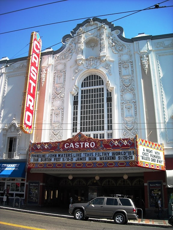
Nearby attractions include: Haight Street, GLBT History Museum, Booksmith, Wiggle Bicycles.


Frequently Asked Questions (FAQ)
Which popular attractions are close to Buena Vista Park?
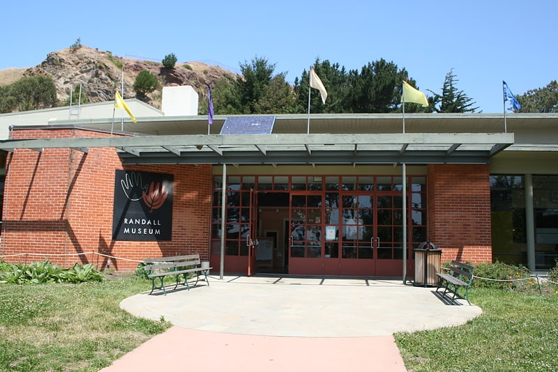
Nearby attractions include Corona Heights Park, San Francisco (6 min walk), Randall Museum, San Francisco (8 min walk), Haight Street, San Francisco (9 min walk), Haight-Ashbury, San Francisco (10 min walk).
How to get to Buena Vista Park by public transport?
The nearest stations to Buena Vista Park:
Bus
Trolleybus
Light rail
Tram
Train
Metro
Bus
- 355 Buena Vista Avenue East • Lines: 37 (2 min walk)
- Roosevelt Way & Museum Way • Lines: 37 (5 min walk)
Trolleybus
- Castro Street & 14th Street • Lines: 24 (8 min walk)
- Ashbury Street & Frederick Street • Lines: 33 (8 min walk)
Light rail
- Sunset Tunnel East Portal • Lines: N (11 min walk)
- Castro • Lines: K, S, T (13 min walk)
Tram
- Market Street & Noe Street • Lines: F (13 min walk)
- 17th Street & Castro Street • Lines: F (13 min walk)
Train
- Carl Street & Cole Street (13 min walk)
- UCSF Parnassus (25 min walk)
Metro
- 16th Street Mission • Lines: Blue, Green, Red, Yellow (30 min walk)