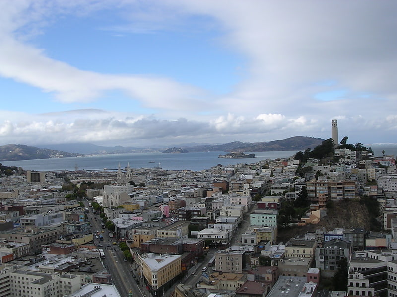
Washington Square, San Francisco
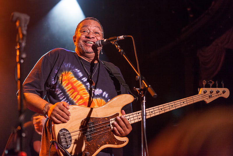
Gallery (7)
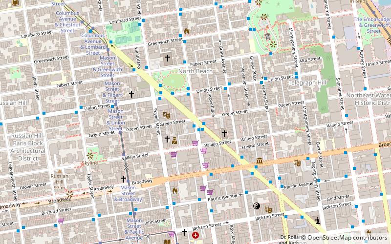
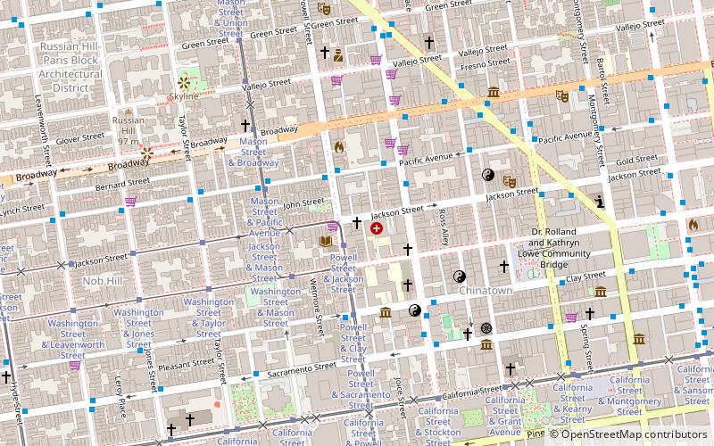
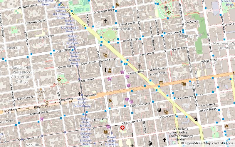
Map

Map

Gallery
Facts and practical information
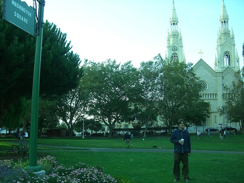
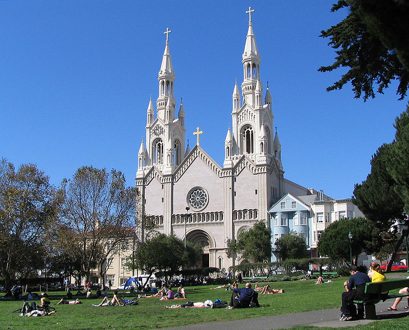
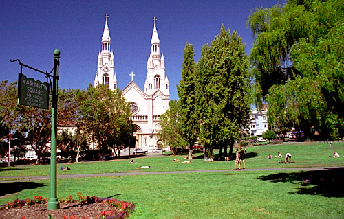
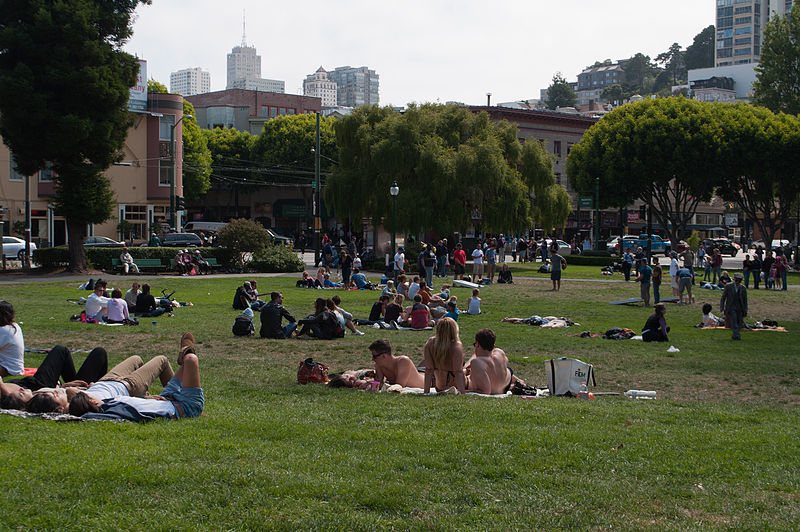
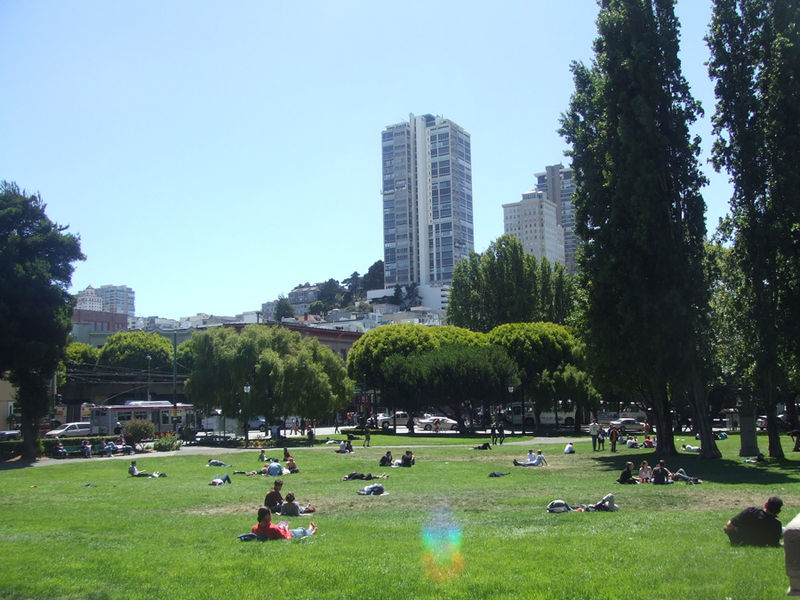
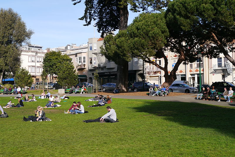
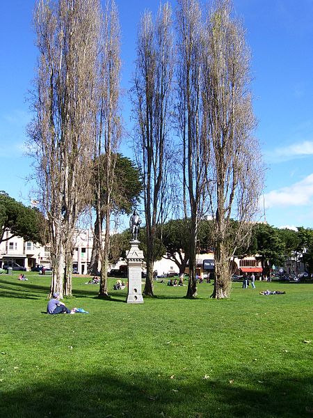
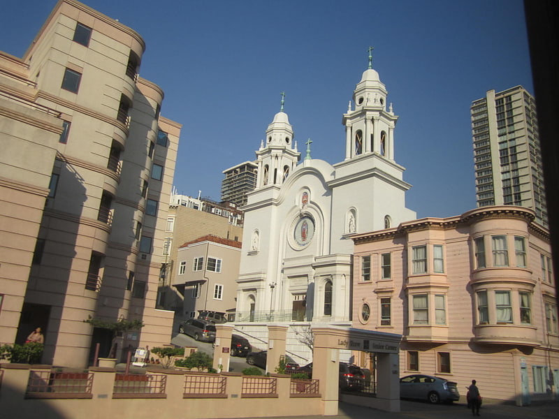
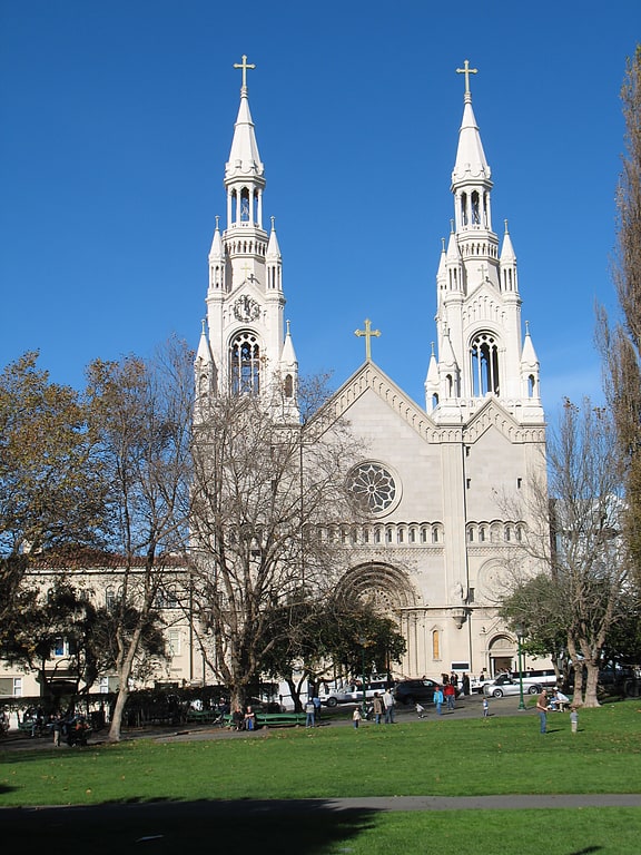
Washington Square is an American park in the North Beach district of San Francisco. It was established in 1847 and is one of the city's first parks. The park is bordered by sidewalk cafes and restaurants such as Mama's, Park Tavern restaurant and the Liguria Bakery as well as the Sts. Peter and Paul Church. ()
Created: 1847Elevation: 75 ft a.s.l.Coordinates: 37°48'3"N, 122°24'36"W
Getting there by public transportation
Public transportation stops near this location
- Metro
- Bus
- Trolleybus
- Tram
- Light rail
- Ferry
 Metro
Metro
- Calculate routeColumbus Avenue & Union Street 1 min walk
- Calculate routePowell Street & Filbert Street 2 min walk
- Calculate routeColumbus Avenue & Filbert Street 3 min walk
- Calculate routeStockton Street & Columbus Avenue 4 min walk
- Calculate routeColumbus Avenue & Union Street 1 min walk
- Calculate routeUnion Street & Columbus Avenue 2 min walk
- Calculate routeStockton Street & Columbus Avenue 4 min walk
- Calculate routeMason Street & Filbert Street 4 min walk
- Calculate routeMason Street & Union Street 4 min walk
- Calculate routeMason Street & Greenwich Street 5 min walk
- Calculate routeMason Street & Green Street 5 min walk
- Calculate routePier 41 Gate 1 16 min walk
- Calculate routePier 41 Gate 2 16 min walk
- Calculate routeFerry Building Gate B 25 min walk
- Calculate routeEmbarcadero 24 min walk
- Calculate routeMontgomery Street 24 min walk
- Calculate routePowell Street 29 min walk
- Calculate routeEmbarcadero 24 min walk
- Calculate routeMontgomery Street 24 min walk
- Calculate routePowell Street 30 min walk
- Calculate routeFolsom 35 min walk
Maps Muni Metro
Muni MetroDay trips
Washington Square – popular in the area (distance from the attraction)
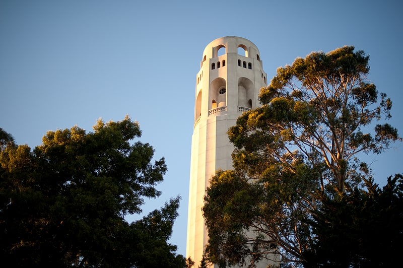
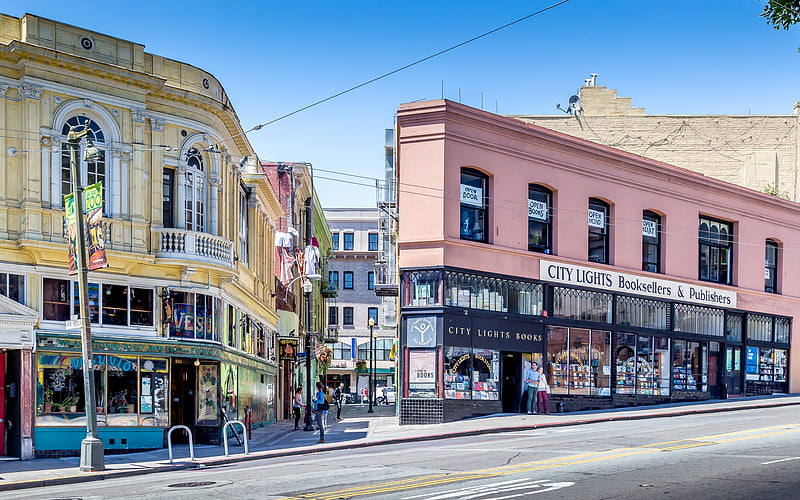
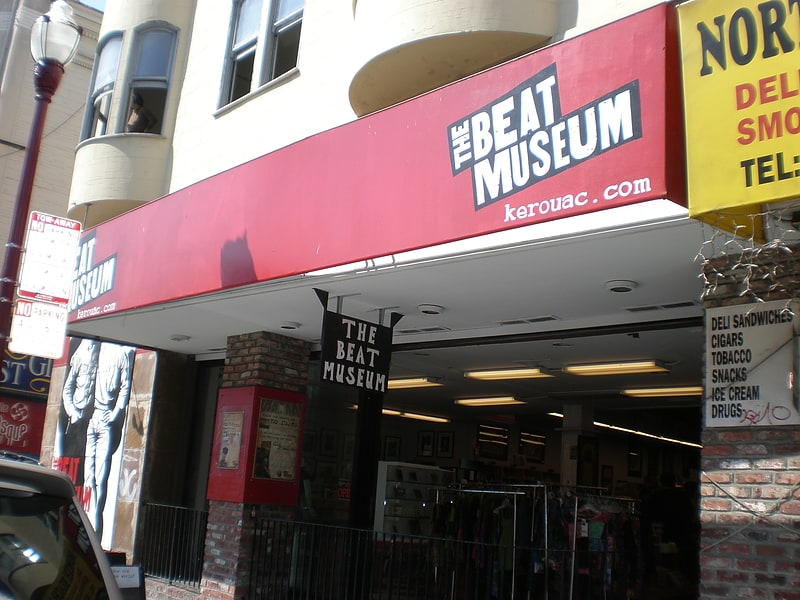
Nearby attractions include: Coit Tower, Bimbo's 365 Club, City Lights Bookstore, Nuestra Senora De Guadalupe Church.
Frequently Asked Questions (FAQ)
Which popular attractions are close to Washington Square?
Nearby attractions include Saints Peter and Paul Church, San Francisco (2 min walk), Columbus Avenue, San Francisco (2 min walk), North Beach, San Francisco (2 min walk), Beach Blanket Babylon, San Francisco (3 min walk).
How to get to Washington Square by public transport?
The nearest stations to Washington Square:
Bus
Trolleybus
Tram
Ferry
Metro
Light rail
Bus
- Columbus Avenue & Union Street • Lines: 30, 8, 91 (1 min walk)
- Powell Street & Filbert Street • Lines: 8 (2 min walk)
Trolleybus
- Columbus Avenue & Union Street • Lines: 30 (1 min walk)
- Union Street & Columbus Avenue • Lines: 45 (2 min walk)
Tram
- Mason Street & Filbert Street (4 min walk)
- Mason Street & Union Street (4 min walk)
Ferry
- Pier 41 Gate 1 • Lines: Blue & Gold Fleet (16 min walk)
- Pier 41 Gate 2 • Lines: Blue & Gold Fleet, San Francisco Bay Ferry (16 min walk)
Metro
- Embarcadero • Lines: Blue, Green, Red, Yellow (24 min walk)
- Montgomery Street • Lines: Blue, Green, Red, Yellow (24 min walk)
Light rail
- Embarcadero • Lines: K, N, S, T (24 min walk)
- Montgomery Street • Lines: K, N, S, T (24 min walk)