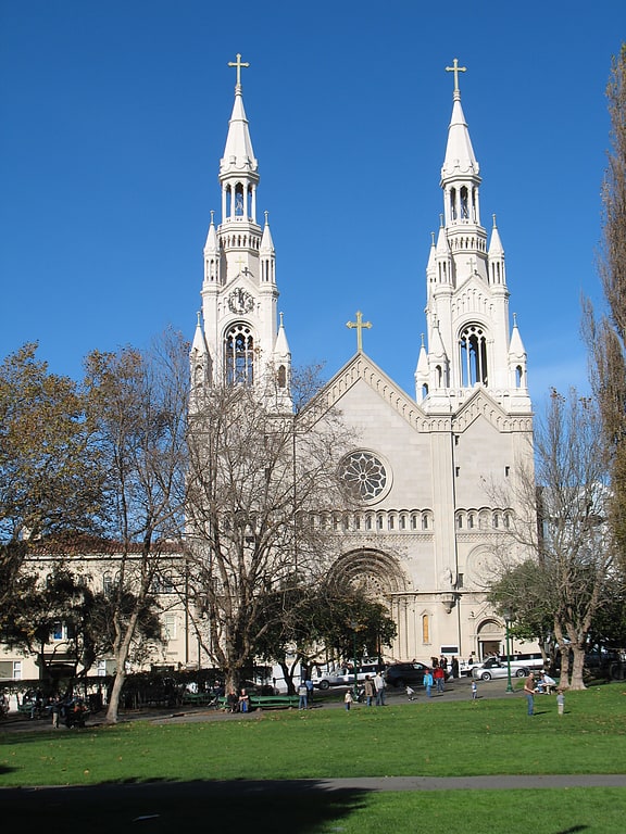
Nuestra Senora De Guadalupe Church, San Francisco
Facts and practical information
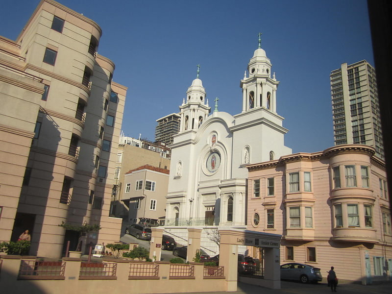
Nestled in the vibrant heart of San Francisco, Nuestra Señora De Guadalupe Church stands as a beacon of spiritual solace and cultural heritage within the city's diverse tapestry. This historic church, with roots tracing back to the early 20th century, is situated in the Mission District, an area known for its rich Latino influence and bustling community life.
The church's architecture is a testament to the religious fervor and dedication of the local community. With its simple yet elegant façade, Nuestra Señora De Guadalupe Church provides a place of worship and gathering for many of the city's residents, particularly those of Mexican and Central American descent who find a piece of their homeland in the church's patroness, the Virgin of Guadalupe.
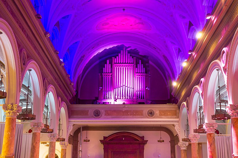
The interior of the church is adorned with traditional religious iconography, and the sacred space is often filled with the melodious sounds of prayer and song during Mass. The church serves not only as a spiritual center but also as a cultural hub, with events and celebrations throughout the year that honor both faith and heritage.
Nuestra Señora De Guadalupe Church is more than just a building; it is a community cornerstone that has withstood the test of time and urban development. Despite the ever-changing landscape of San Francisco, the church remains a place where traditions are cherished, and new generations can connect with their cultural and religious roots.
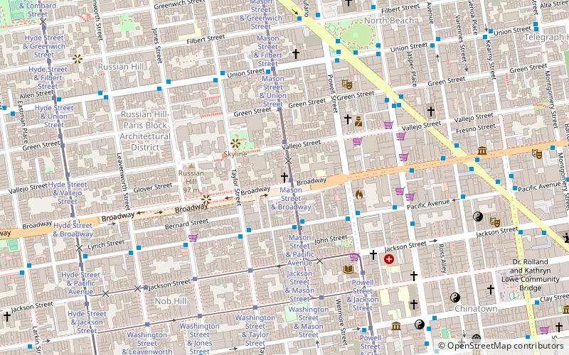
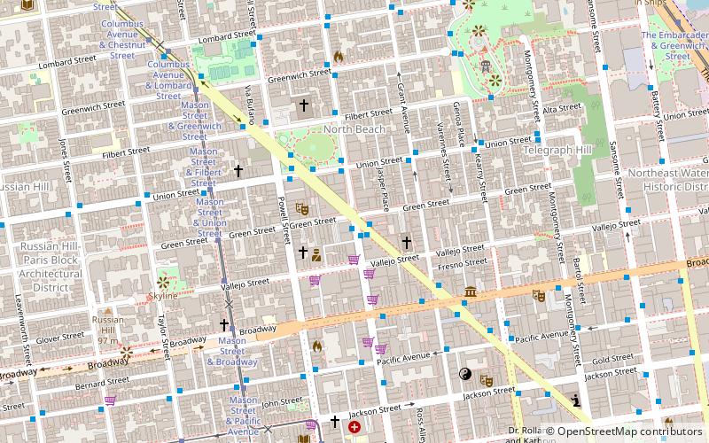
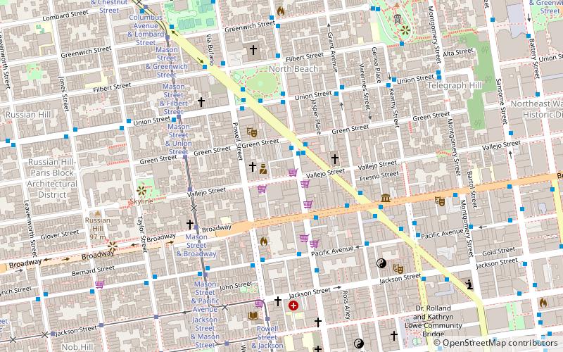
Northeast San Francisco (Russian Hill)San Francisco
- Metro
- Bus
- Trolleybus
- Tram
- Light rail
- Ferry
 Metro
Metro
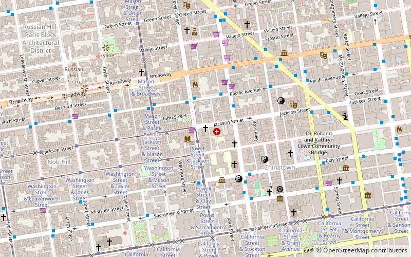
- Calculate routeMason Street & Broadway 1 min walk
- Calculate routeMason Street & Vallejo Street 2 min walk
- Calculate routeMason Street & Pacific Avenue 3 min walk
- Calculate routeMason Street & Green Street 3 min walk
- Calculate routePacific Avenue & Mason Street 3 min walk
- Calculate routeUnion Street & Mason Street 5 min walk
- Calculate routeStockton Street & Pacific Avenue 6 min walk
- Calculate routeMontgomery Street 21 min walk
- Calculate routeEmbarcadero 23 min walk
- Calculate routePowell Street 24 min walk
- Calculate routeMontgomery Street 21 min walk
- Calculate routeEmbarcadero 23 min walk
- Calculate routePowell Street 24 min walk
- Calculate routePier 41 Gate 1 21 min walk
- Calculate routePier 41 Gate 2 22 min walk
- Calculate routeFerry Building Gate B 27 min walk
 Muni Metro
Nuestra Senora De Guadalupe Church – popular in the area (distance from the attraction)
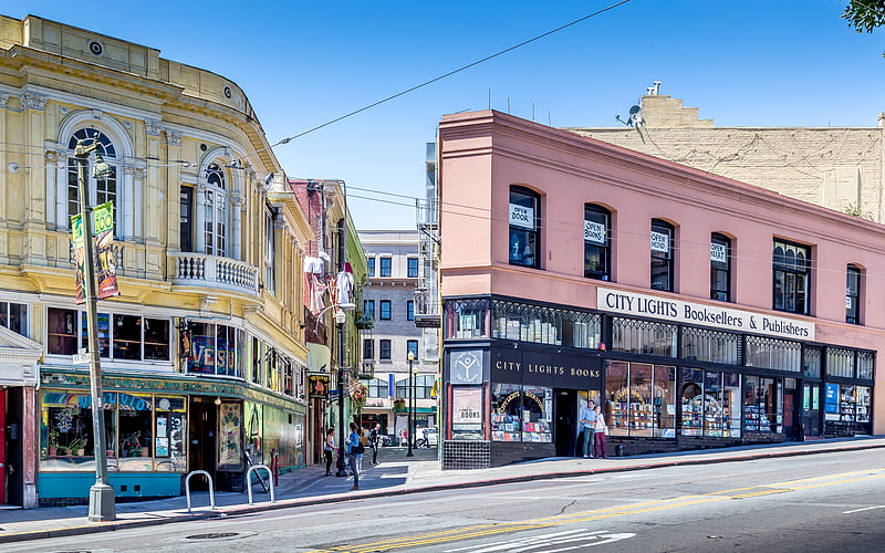
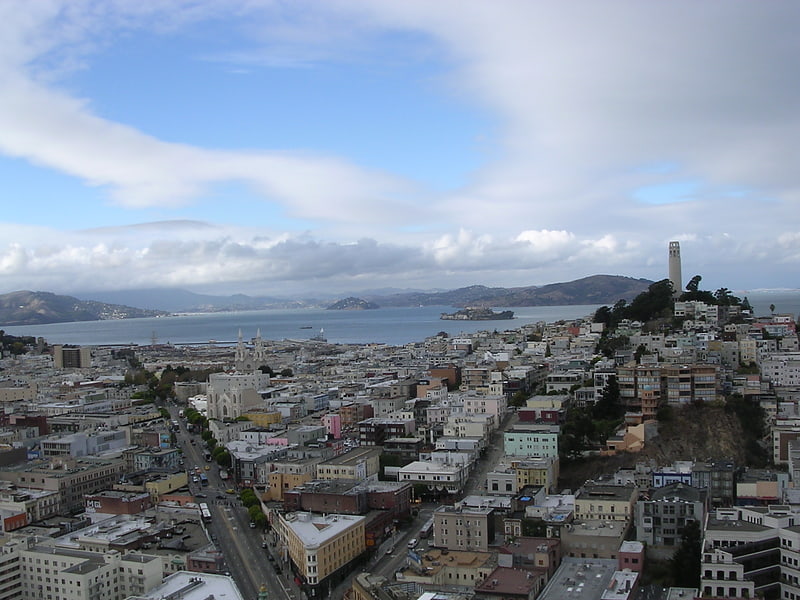
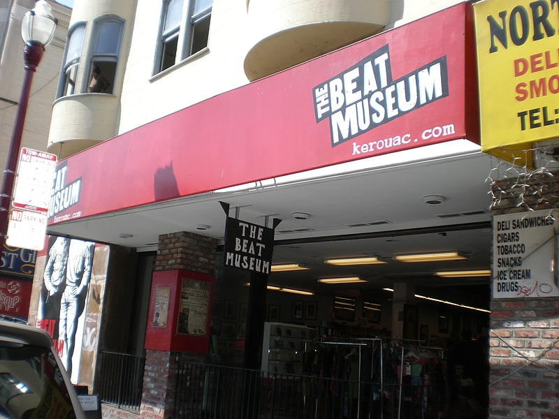
Nearby attractions include: City Lights Bookstore, Cable Car Museum, North Beach, Beat Museum.

Frequently Asked Questions (FAQ)
Which popular attractions are close to Nuestra Senora De Guadalupe Church?
How to get to Nuestra Senora De Guadalupe Church by public transport?
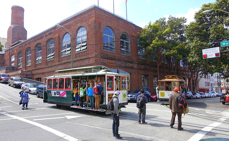
Tram
- Mason Street & Broadway (1 min walk)
- Mason Street & Vallejo Street (2 min walk)
Bus
- Pacific Avenue & Mason Street • Lines: 12 (3 min walk)
Trolleybus
- Union Street & Mason Street • Lines: 45 (5 min walk)
- Stockton Street & Pacific Avenue • Lines: 30, 45 (6 min walk)
Light rail
- Montgomery Street • Lines: K, N, S, T (21 min walk)
- Embarcadero • Lines: K, N, S, T (23 min walk)
Metro
- Montgomery Street • Lines: Blue, Green, Red, Yellow (21 min walk)
- Embarcadero • Lines: Blue, Green, Red, Yellow (23 min walk)
Ferry
- Pier 41 Gate 1 • Lines: Blue & Gold Fleet (21 min walk)
- Pier 41 Gate 2 • Lines: Blue & Gold Fleet, San Francisco Bay Ferry (22 min walk)