Mosswood Park, Oakland
Map
Gallery
Facts and practical information
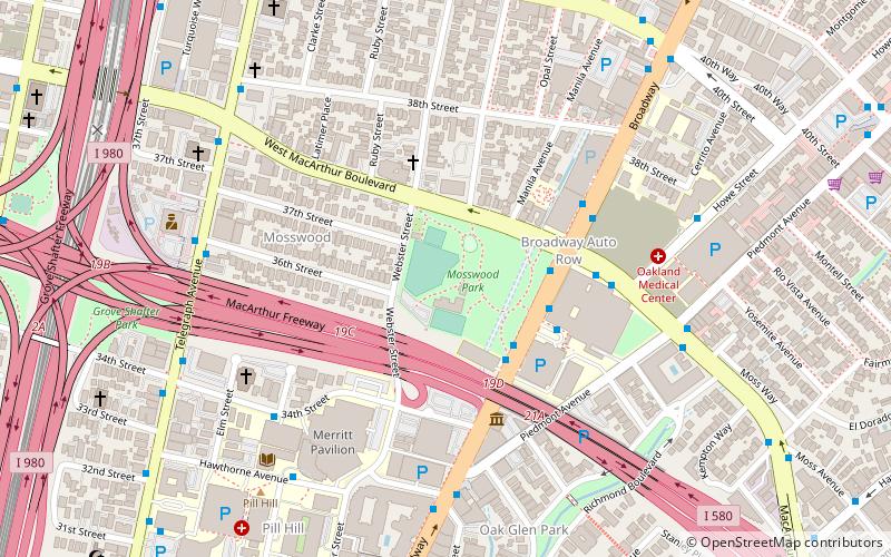
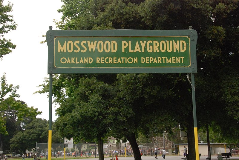
Mosswood Park is a 4-acre public park in Oakland, California, located on W MacArthur Boulevard between Webster Street and Broadway. Managed by the City of Oakland's Department of Parks and Recreation, it contains a community recreation center as well as extensive grassy lawns, picnic areas, children's play equipment, dog runs, tennis and basketball courts, and baseball fields. ()
Created: 1907Elevation: 69 ft a.s.l.Coordinates: 37°49'26"N, 122°15'40"W
Address
North Oakland (Mosswood)Oakland
ContactAdd
Social media
Add
Day trips
Mosswood Park – popular in the area (distance from the attraction)
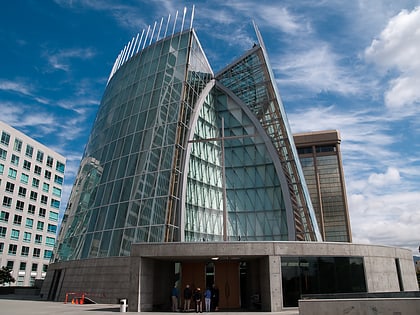
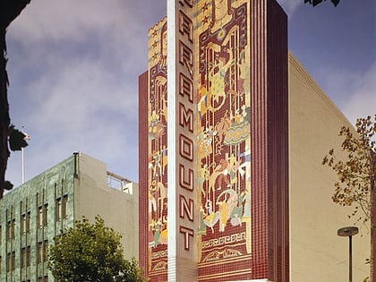
Nearby attractions include: Children's Fairyland, Piedmont Avenue, Cathedral of Christ the Light, Paramount Theatre.
Frequently Asked Questions (FAQ)
Which popular attractions are close to Mosswood Park?
Nearby attractions include J. Mora Moss House, Oakland (3 min walk), The MADE, Oakland (4 min walk), The Museum of Art and Digital Entertainment, Oakland (5 min walk), Trinity Church, Oakland (14 min walk).
How to get to Mosswood Park by public transport?
The nearest stations to Mosswood Park:
Bus
Metro
Bus
- Mosswood Park • Lines: 51A, 851 (3 min walk)
- Mosswood Building • Lines: 3701 (3 min walk)
Metro
- MacArthur • Lines: Orange, Red, Yellow (12 min walk)
- 19th Street Oakland • Lines: Orange, Red, Yellow (30 min walk)


