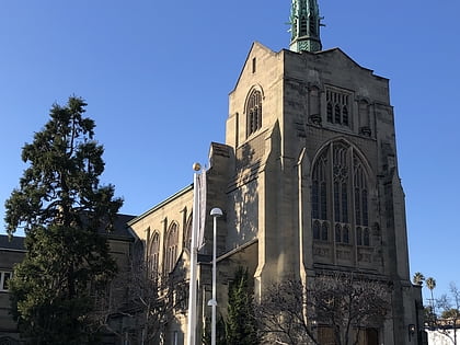
Piedmont Avenue, Oakland
Map
Gallery
Facts and practical information
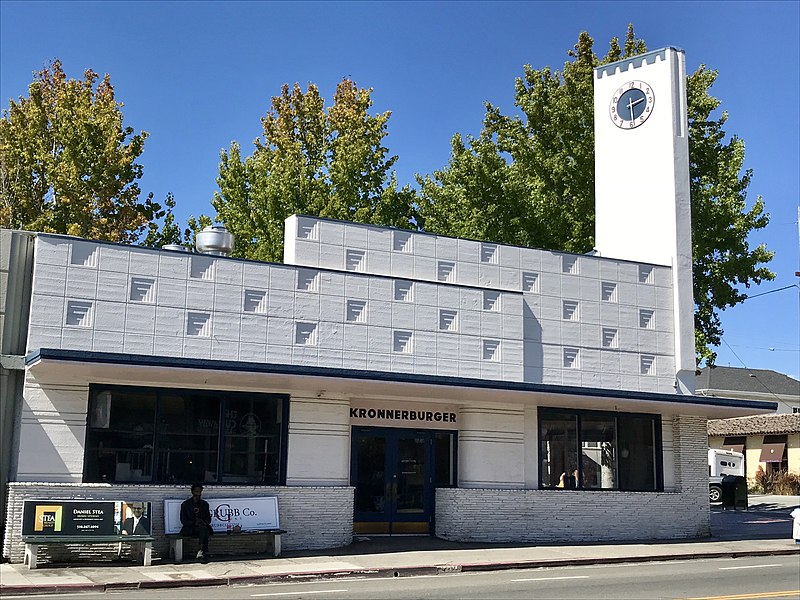
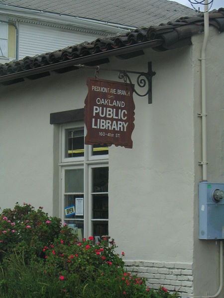
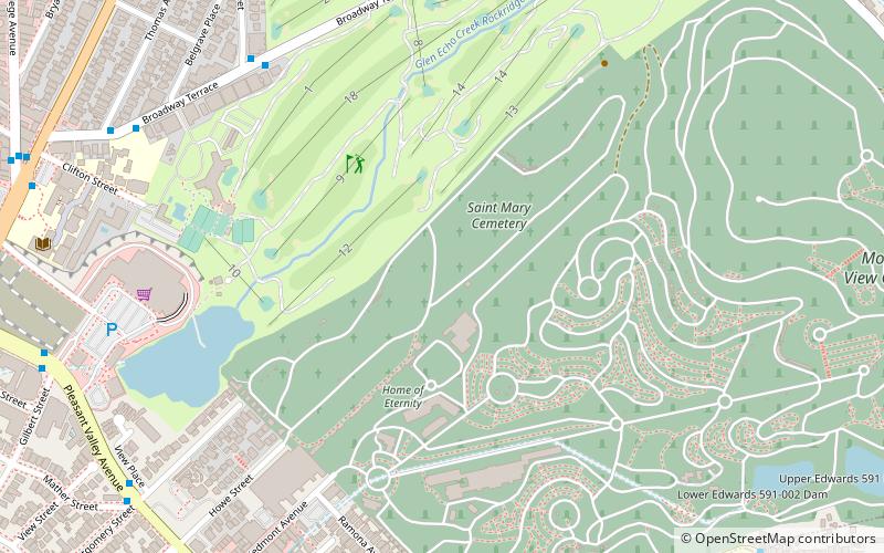
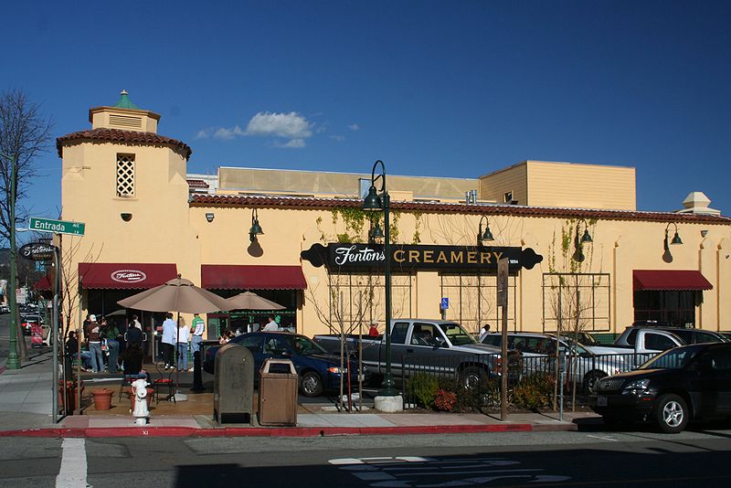
The Piedmont Avenue neighborhood is a residential and commercial district in the North Oakland region of Oakland, California. It is named for Piedmont Avenue, a commercial street known for dining and retail. The neighborhood is roughly bounded by Temescal and Broadway on the west, Oakland Avenue and the City of Piedmont on the east, the Mountain View Cemetery on the north, and the MacArthur Freeway section of Interstate 580 on the south. ()
Coordinates: 37°49'35"N, 122°15'7"W
Day trips
Piedmont Avenue – popular in the area (distance from the attraction)
Nearby attractions include: Cathedral of Christ the Light, Mountain View Cemetery, Grand Lake Theatre, The Museum of Art and Digital Entertainment.
Frequently Asked Questions (FAQ)
Which popular attractions are close to Piedmont Avenue?
Nearby attractions include Morcom Rose Garden, Oakland (13 min walk), Chapel of the Chimes, Oakland (13 min walk), J. Mora Moss House, Oakland (13 min walk), Mosswood Park, Oakland (14 min walk).
How to get to Piedmont Avenue by public transport?
The nearest stations to Piedmont Avenue:
Bus
Metro
Bus
- Piedmont Avenue & 41st Street • Lines: 12 (2 min walk)
- Glen Avenue & Panama Court • Lines: 12 (2 min walk)
Metro
- MacArthur • Lines: Orange, Red, Yellow (22 min walk)


