Panhandle Bridge, Pittsburgh
Map
Gallery
Facts and practical information
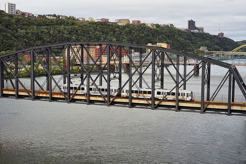
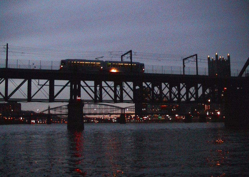
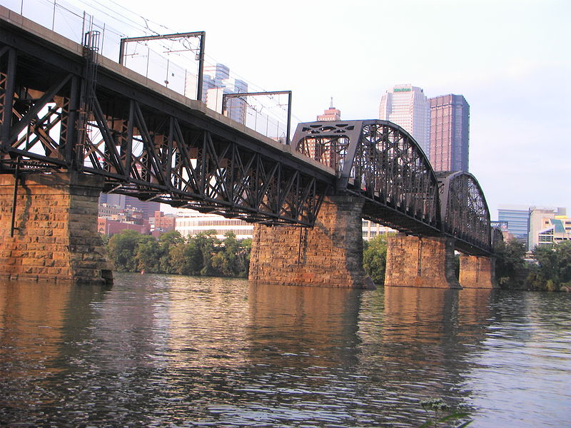
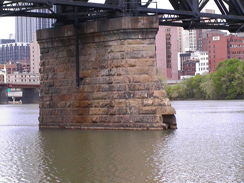
The Panhandle Bridge carries two rail lines of the Port Authority "T" line across the Monongahela River in Pittsburgh, Pennsylvania. The name comes from Pennsylvania Railroad subsidiary Pittsburgh, Cincinnati, Chicago and St. Louis Railroad, also known as the Panhandle Route, which operated over the bridge. ()
Opened: 1903 (123 years ago)Coordinates: 40°26'0"N, 79°59'52"W
Address
Central Pittsburgh (Downtown Pittsburgh)Pittsburgh
ContactAdd
Social media
Add
Day trips
Panhandle Bridge – popular in the area (distance from the attraction)
Nearby attractions include: PPG Paints Arena, Highmark Stadium, Benedum Center, Warner Centre.
Frequently Asked Questions (FAQ)
Which popular attractions are close to Panhandle Bridge?
Nearby attractions include Liberty Bridge, Pittsburgh (3 min walk), Allegheny County Courthouse, Pittsburgh (6 min walk), Smithfield Street Bridge, Pittsburgh (7 min walk), Allegheny County Mortuary, Pittsburgh (8 min walk).
How to get to Panhandle Bridge by public transport?
The nearest stations to Panhandle Bridge:
Light rail
Bus
Train
Light rail
- First Avenue • Lines: Blue, Red, Silver (5 min walk)
- Station Square • Lines: Blue, Red, Silver (8 min walk)
Bus
- Blvd of the Allies at Cherry Way • Lines: 3 (8 min walk)
- Station Square (8 min walk)
Train
- Pittsburgh Union Station (22 min walk)


