7 World Trade Center, New York City
Map
Map

Facts and practical information
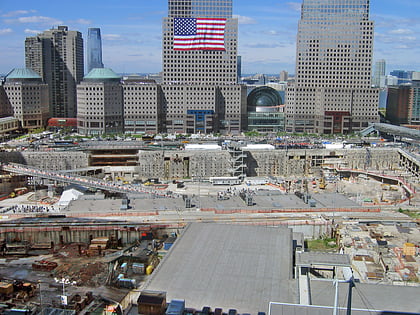
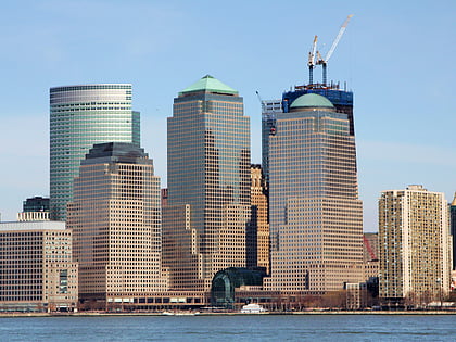
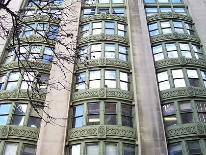
7 World Trade Center refers to two buildings that have existed at the same location within the World Trade Center site in Lower Manhattan, New York City. The original structure, part of the original World Trade Center, was completed in 1987 and was destroyed in the September 11 attacks in 2001. The current structure opened in May 2006. Both buildings were developed by Larry Silverstein, who holds a ground lease for the site from the Port Authority of New York and New Jersey. ()
Day trips
7 World Trade Center – popular in the area (distance from the attraction)
Nearby attractions include: National September 11 Memorial & Museum, One World Trade Center, Brookfield Place, 225 Liberty Street.
Frequently Asked Questions (FAQ)
Which popular attractions are close to 7 World Trade Center?
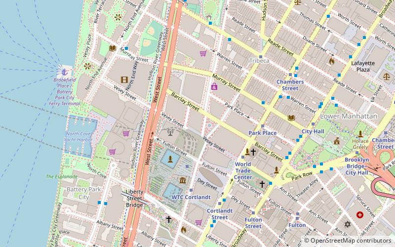
Nearby attractions include Performing Arts Center at the World Trade Center, New York City (2 min walk), Vesey Street, New York City (2 min walk), One World Trade Center, New York City (2 min walk), 2 World Trade Center, New York City (3 min walk).
How to get to 7 World Trade Center by public transport?
The nearest stations to 7 World Trade Center:
Metro
Bus
Ferry
Light rail
Metro
- World Trade Center • Lines: E, Hob–Wtc, Nwk–Wtc (3 min walk)
- WTC Cortlandt • Lines: 1 (3 min walk)
Bus
- The Oculus (4 min walk)
- Church Street & Warren Street • Lines: 120 (6 min walk)
Ferry
- Brookfield Place / Battery Park City Ferry Terminal (9 min walk)
- Battery Park • Lines: Sc-Ny (20 min walk)
Light rail
- Exchange Place • Lines: Hblr (30 min walk)
- Harborside Financial Center • Lines: Hblr (32 min walk)

 Subway
 Manhattan Buses


