Confluence Park, Denver
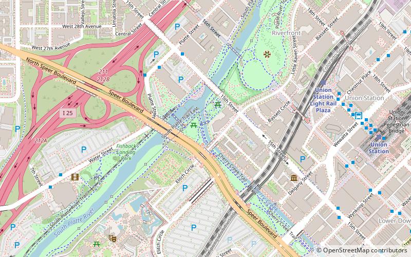
Map

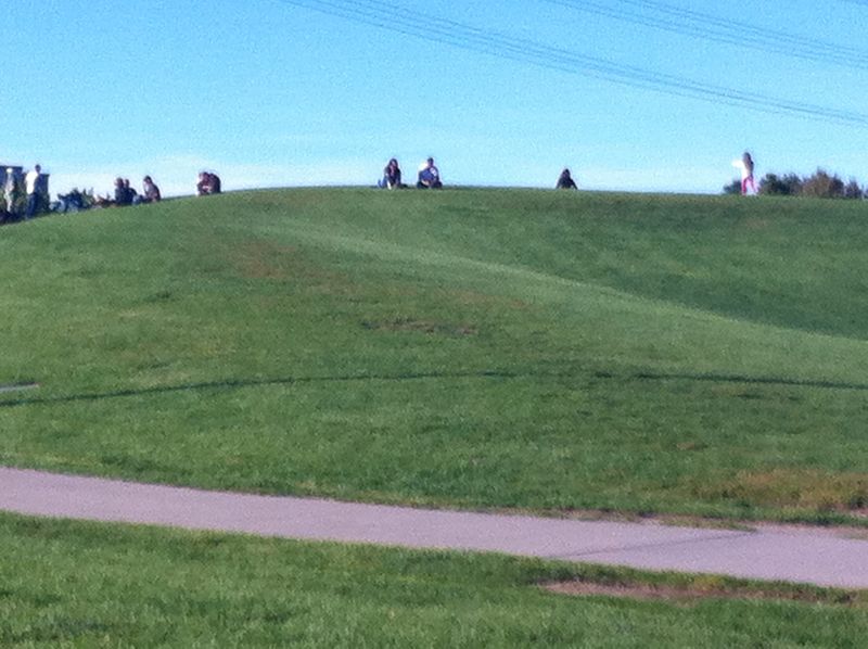
Gallery

Facts and practical information
Confluence Park is an urban park encompassing the confluence of Cherry Creek and the South Platte River in Denver's Lower Downtown, a bustling district of 19th-century brick warehouses and storefronts that has been redeveloped since the late 1980s. ()
Elevation: 5190 ft a.s.l.Coordinates: 39°45'14"N, 105°0'29"W
Address
2250 15th StNorthwest Denver (Auraria)Denver 80202
Contact
+1 720-913-1311
Social media
Add
Day trips
Confluence Park – popular in the area (distance from the attraction)
Nearby attractions include: Elitch Gardens, Ball Arena, 16th Street Mall, Children's Museum of Denver.
Frequently Asked Questions (FAQ)
Which popular attractions are close to Confluence Park?
Nearby attractions include Platte Valley Trolley, Denver (3 min walk), Platte River Bridge, Denver (5 min walk), Speer Boulevard, Denver (5 min walk), Denver Millennium Bridge, Denver (6 min walk).
How to get to Confluence Park by public transport?
The nearest stations to Confluence Park:
Bus
Light rail
Train
Bus
- Union Station Light Rail Plaza • Lines: Mall (7 min walk)
- Chestnut Pavilion • Lines: Mall (8 min walk)
Light rail
- Union Station • Lines: C, E, W (8 min walk)
- Ball Arena / Elitch Gardens • Lines: C, E, W (10 min walk)
Train
- Union Station (10 min walk)


