Old City Hall, Boston
Map
Gallery
Facts and practical information
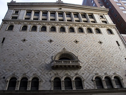
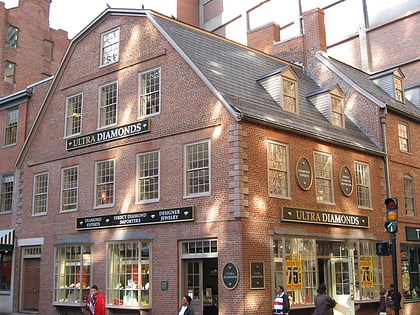
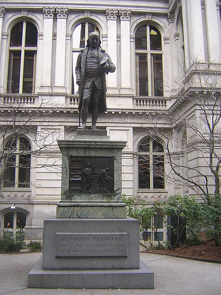
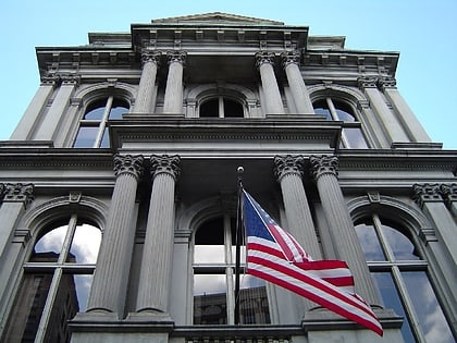
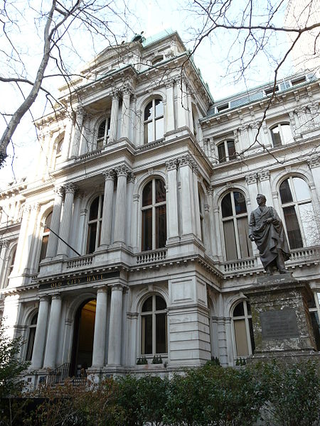
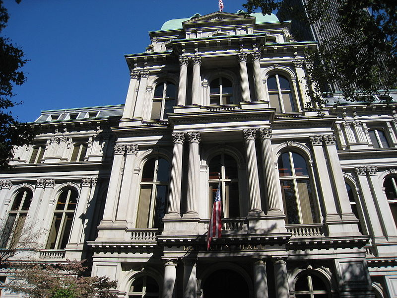
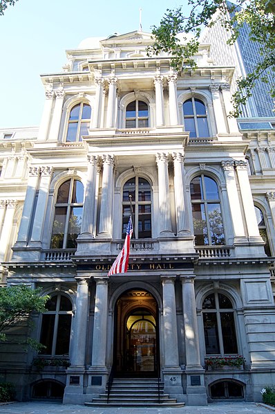
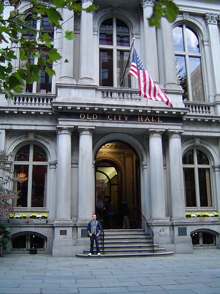
Boston's Old City Hall was home to its city council from 1865 to 1969. It was one of the first buildings in the French Second Empire style to be built in the United States. After the building's completion, the Second Empire style was used extensively elsewhere in Boston and for many public buildings in the United States, such as the Old Executive Office Building in Washington, D.C., as well as other city halls in Providence, Baltimore and Philadelphia. The building's architects were Gridley James Fox Bryant and Arthur Gilman. ()
Built: 1862 (164 years ago)Coordinates: 42°21'29"N, 71°3'33"W
Day trips
Old City Hall – popular in the area (distance from the attraction)
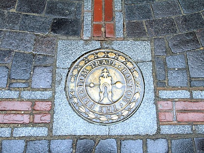
Nearby attractions include: Faneuil Hall, Old State House, Freedom Trail, Downtown Crossing.
Frequently Asked Questions (FAQ)
Which popular attractions are close to Old City Hall?
Nearby attractions include Pi Alley, Boston (1 min walk), King's Chapel, Boston (1 min walk), King's Chapel Burying Ground, Boston (1 min walk), School Street, Boston (2 min walk).
How to get to Old City Hall by public transport?
The nearest stations to Old City Hall:
Metro
Light rail
Bus
Train
Metro
- State • Lines: Blue, Orange (3 min walk)
- Government Center • Lines: Blue (4 min walk)
Light rail
- Government Center • Lines: C, D, E (3 min walk)
- Park Street • Lines: B, C, D, E (6 min walk)
Bus
- Tremont St opp Temple Pl • Lines: 55 (7 min walk)
- Federal St @ Franklin St • Lines: 504 (7 min walk)
Train
- Boston South Station (13 min walk)
- Boston North Station (15 min walk)


 MBTA Subway

