Pemberton Square, Boston
Map

Gallery
Facts and practical information
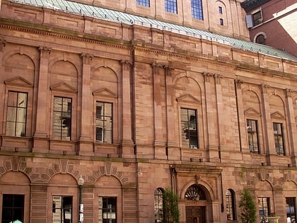
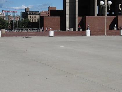
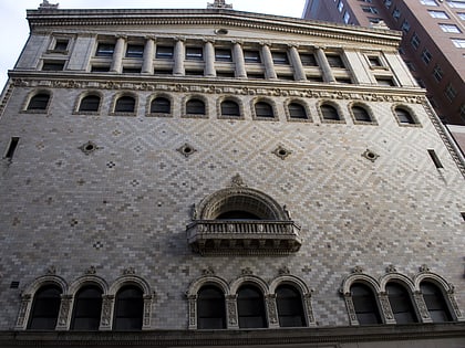
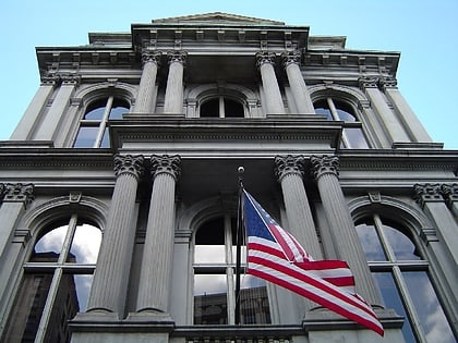
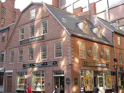
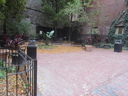
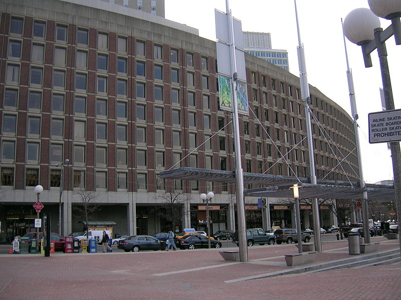
Pemberton Square in the Government Center area of Boston, Massachusetts, was developed by P.T. Jackson in the 1830s as an architecturally uniform mixed-use enclave surrounding a small park. In the mid-19th century both private residences and businesses dwelt there. The construction in 1885 of the massive John Adams Courthouse changed the scale and character of the square, as did the Center Plaza building in the 1960s. ()
Coordinates: 42°21'34"N, 71°3'38"W
Address
Downtown BostonBoston
ContactAdd
Social media
Add
Day trips
Pemberton Square – popular in the area (distance from the attraction)
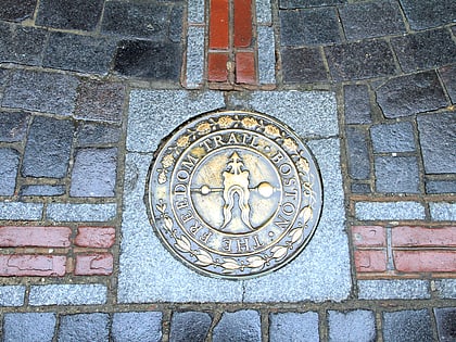
Nearby attractions include: Freedom Trail, Granary Burying Ground, Boston City Hall, Government Center.
Frequently Asked Questions (FAQ)
Which popular attractions are close to Pemberton Square?
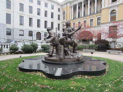
Nearby attractions include Suffolk County Courthouse, Boston (1 min walk), Social Law Library, Boston (2 min walk), Government Center, Boston (2 min walk), Garden of Peace, Boston (2 min walk).
How to get to Pemberton Square by public transport?
The nearest stations to Pemberton Square:
Metro
Light rail
Bus
Train
Metro
- Government Center • Lines: Blue (2 min walk)
- Bowdoin • Lines: Blue (4 min walk)
Light rail
- Government Center • Lines: C, D, E (2 min walk)
- Haymarket • Lines: C, E (6 min walk)
Bus
- Tremont St opp Temple Pl • Lines: 55 (8 min walk)
- Federal St @ Franklin St • Lines: 504 (10 min walk)
Train
- Boston North Station (13 min walk)
- Boston South Station (16 min walk)

 MBTA Subway