Freedom Trail, Boston


Facts and practical information
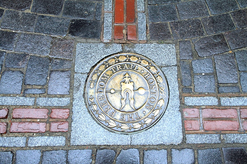
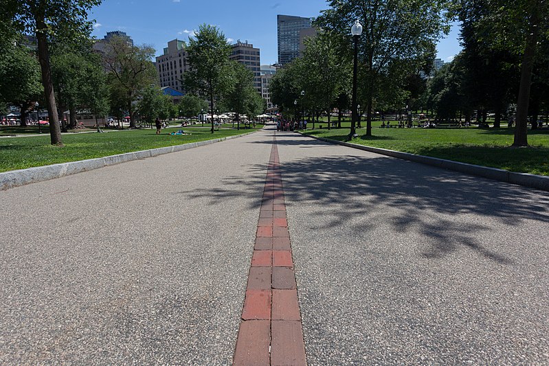
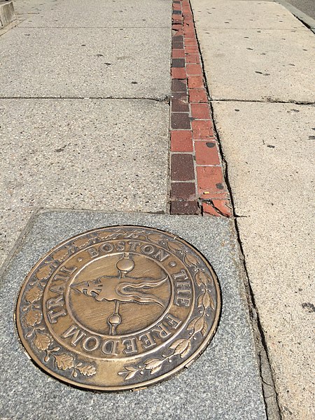
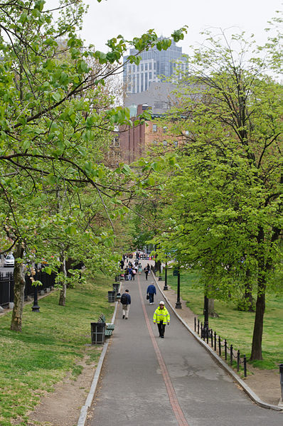
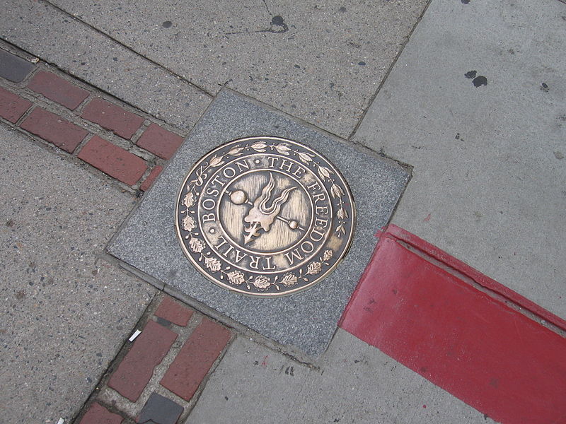
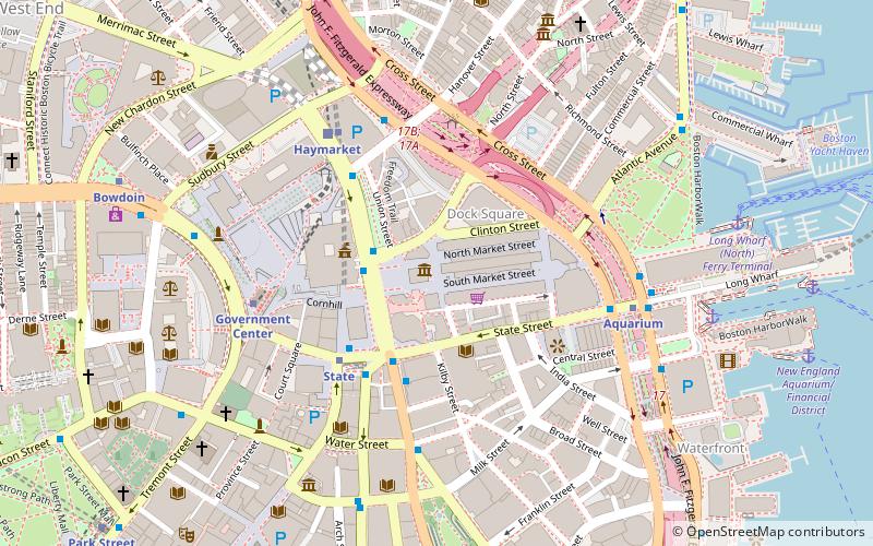
The Freedom Trail in Boston is a 2.5-mile-long path through downtown that passes by 16 locations significant to the history of the United States. Marked largely with brick, it winds from Boston Common to the Bunker Hill Monument in Charlestown. Sites along the trail include historic churches, burial grounds, meeting houses, museums, and iconic ships, each one a gem that offers a tangible glimpse into the rich tapestry of the American Revolution.
Established in 1951, the Freedom Trail was the brainchild of local journalist William Schofield, who saw the potential for a pedestrian trail to connect the city's numerous historic sites. It has since become a must-see for tourists and an educational experience for school groups and history buffs alike.
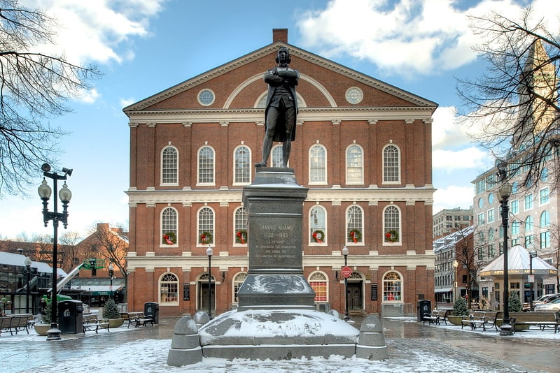
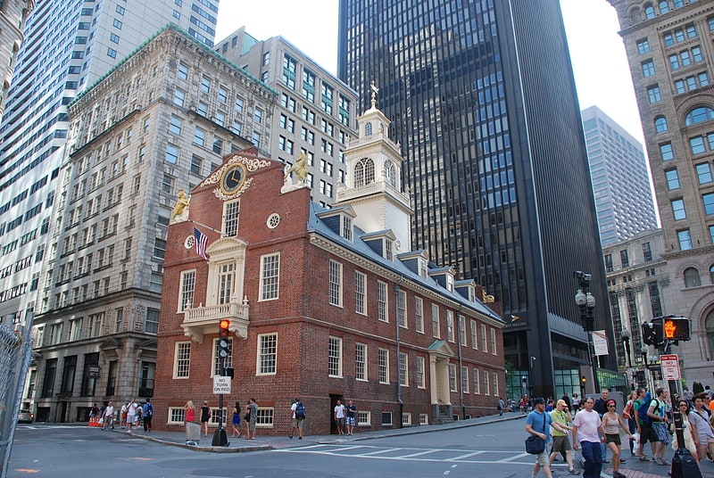
Highlights of the trail include the Massachusetts State House, the site of the Boston Massacre, Paul Revere's House, and the Old North Church, where the famous "One if by land, and two if by sea" signal is said to have been sent. Each stop contributes a piece to the narrative of the colonies' struggle for independence.
Walking the Freedom Trail is not only an exercise in historical exploration but also a pleasant hiking experience that takes you through the heart of one of America's oldest cities. The trail is easily navigable, with ground markers guiding visitors from one site to the next, and informative plaques and tour guides available to enrich the journey with stories and facts about the nation's founding.
- Metro
- Bus
- Light rail
- Train
 Metro
Metro
- Calculate routeState 1 min walk
- Calculate routeGovernment Center 5 min walk
- Calculate routeHaymarket 7 min walk
- Calculate routeDowntown Crossing 7 min walk
- Calculate routeGovernment Center 4 min walk
- Calculate routeHaymarket 7 min walk
- Calculate routePark Street 8 min walk
- Calculate routeNorth Station 13 min walk
- Calculate routeFederal St @ Franklin St 6 min walk
- Calculate routeOtis St @ Summer St 8 min walk
- Calculate routeTremont St opp Temple Pl 9 min walk
- Calculate routeLincoln St @ Essex St 11 min walk
- Calculate routeBoston South Station 13 min walk
- Calculate routeBoston North Station 16 min walk
- Calculate routeBoston Back Bay 31 min walk
 MBTA Subway


Frequently Asked Questions (FAQ)
Which popular attractions are close to Freedom Trail?
How to get to Freedom Trail by public transport?
Metro
- State • Lines: Blue, Orange (1 min walk)
- Government Center • Lines: Blue (5 min walk)
Light rail
- Government Center • Lines: C, D, E (4 min walk)
- Haymarket • Lines: C, E (7 min walk)
Bus
- Federal St @ Franklin St • Lines: 504 (6 min walk)
- Otis St @ Summer St • Lines: 504, 7 (8 min walk)
Train
- Boston South Station (13 min walk)
- Boston North Station (16 min walk)