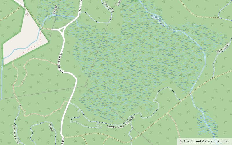
Lowell-Dracut-Tyngsboro State Forest, Lowell Heritage State Park

Map
Facts and practical information
Lowell-Dracut-Tyngsboro State Forest is a publicly owned forest with recreational features measuring 1,109 acres that overlap the City of Lowell, and the towns of Dracut and Tyngsborough, Massachusetts. The forest, which includes some 180 acres of ponds, swamps and wetlands, is maintained by the Massachusetts Department of Conservation and Recreation. ()
Established: 1941 (85 years ago)Elevation: 154 ft a.s.l.Coordinates: 42°39'45"N, 71°21'60"W
Day trips
Lowell-Dracut-Tyngsboro State Forest – popular in the area (distance from the attraction)
Nearby attractions include: Pheasant Lane Mall, Edward A. LeLacheur Park, Tsongas Center at UMass Lowell, Pawtucket Falls.


