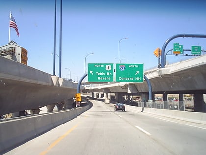
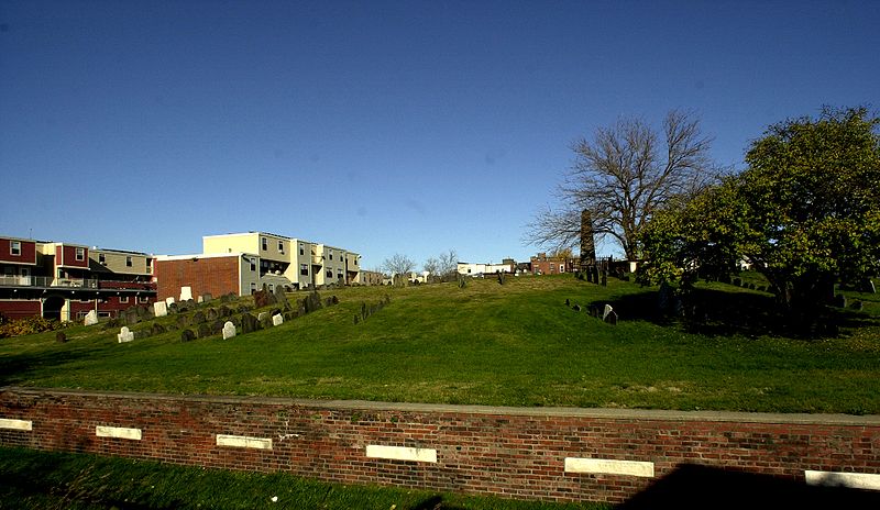
Phipps Street Burying Ground, Boston
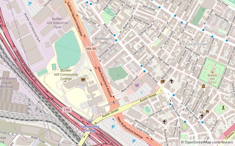
Map
Gallery
Facts and practical information
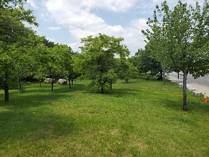
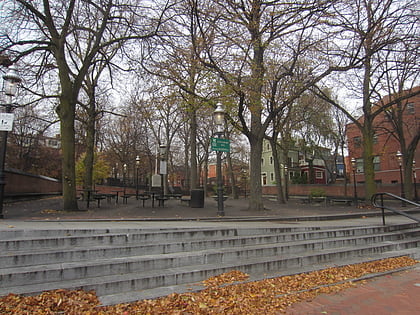
The Phipps Street Burying Ground is a historic cemetery on Phipps Street in Charlestown, now a neighborhood of Boston, Massachusetts. ()
Built: 1630 (396 years ago)Coordinates: 42°22'35"N, 71°4'4"W
Day trips
Phipps Street Burying Ground – popular in the area (distance from the attraction)
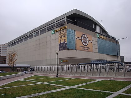
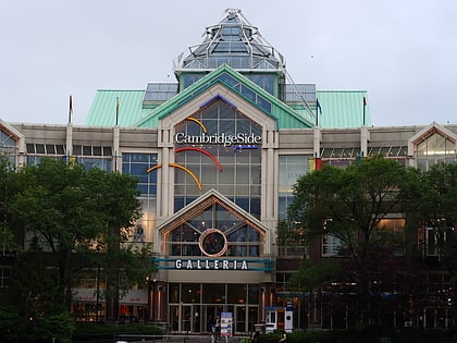
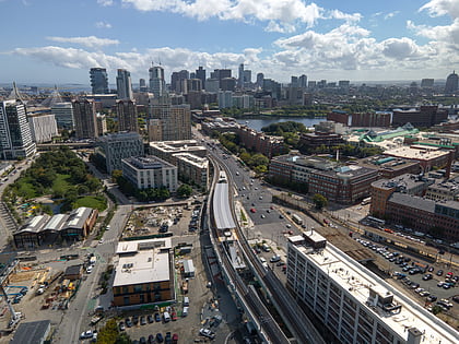
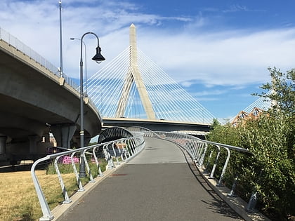
Nearby attractions include: TD Garden, CambridgeSide, Bunker Hill Monument, Leonard P. Zakim Bunker Hill Memorial Bridge.
Frequently Asked Questions (FAQ)
Which popular attractions are close to Phipps Street Burying Ground?
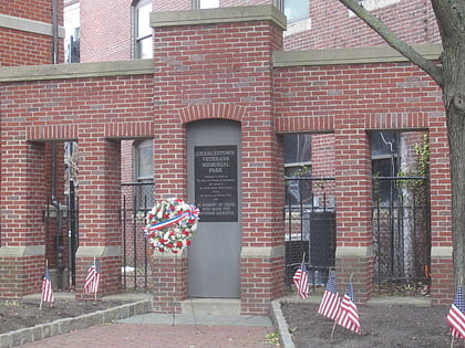
Nearby attractions include Thompson Square, Boston (5 min walk), Charlestown, Boston (5 min walk), Charlestown Vietnam Veterans Memorial, Boston (6 min walk), St. Mary – St. Catherine of Siena Parish, Boston (6 min walk).
How to get to Phipps Street Burying Ground by public transport?
The nearest stations to Phipps Street Burying Ground:
Metro
Bus
Train
Light rail
Metro
- Community College • Lines: Orange (6 min walk)
- Sullivan Square • Lines: Orange (19 min walk)
Bus
- Cambridge St @ Carter St • Lines: 91 (19 min walk)
- Washington St @ Inner Belt Rd • Lines: 91 (21 min walk)
Train
- Boston North Station (19 min walk)
Light rail
- North Station • Lines: C, E (22 min walk)
- Haymarket • Lines: C, E (28 min walk)

 MBTA Subway