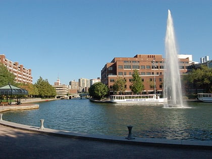
Lechmere Square, Boston
Map
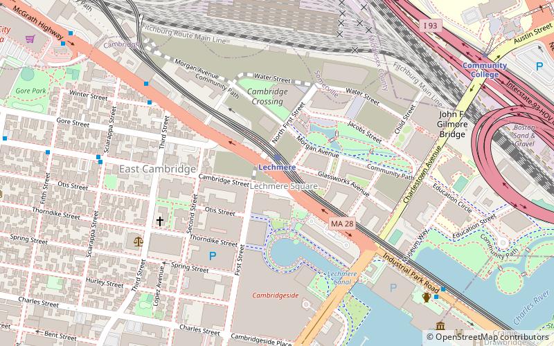
Map

Facts and practical information
Lechmere Square is located at the intersection of Cambridge Street and First Street in East Cambridge, Massachusetts. It was originally named for the Colonial-era landowner Richard Lechmere, a Loyalist who returned to England at the beginning of the American Revolution. His lands were later seized by the new American government. The shoreline is shown as "Lechmere's Point" on Revolutionary War maps, and was the landing point for British troops en route to the Battles of Lexington and Concord. ()
Coordinates: 42°22'15"N, 71°4'34"W
Address
Cambridge (East Cambridge)Boston
ContactAdd
Social media
Add
Day trips
Lechmere Square – popular in the area (distance from the attraction)
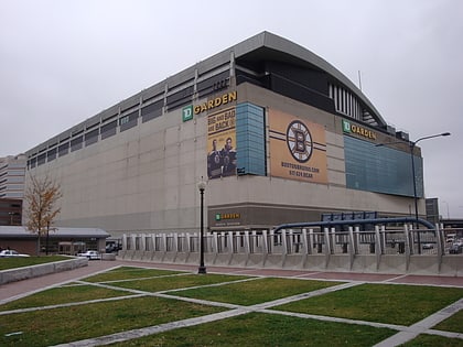
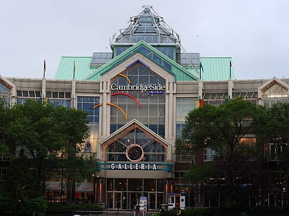
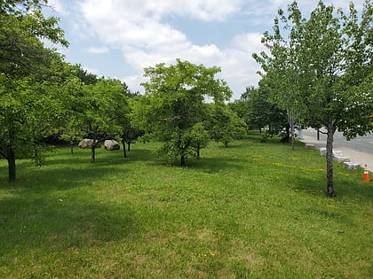
Nearby attractions include: TD Garden, Museum of Science, CambridgeSide, Galvin Memorial Park.
Frequently Asked Questions (FAQ)
Which popular attractions are close to Lechmere Square?
Nearby attractions include Lechmere Canal Park, Boston (3 min walk), East Cambridge Historic District, Boston (7 min walk), Building at 42 Edward J. Lopez Avenue, Boston (8 min walk), Winter Street Historic District, Boston (8 min walk).
How to get to Lechmere Square by public transport?
The nearest stations to Lechmere Square:
Metro
Train
Bus
Light rail
Metro
- Community College • Lines: Orange (10 min walk)
- Charles/MGH • Lines: Red (19 min walk)
Train
- Boston North Station (20 min walk)
Bus
- Cambridge St @ Carter St • Lines: 91 (21 min walk)
- Washington St @ Inner Belt Rd • Lines: 91 (21 min walk)
Light rail
- North Station • Lines: C, E (23 min walk)
- Haymarket • Lines: C, E (29 min walk)
 MBTA Subway