Leverett Circle Connector Bridge, Boston
Map
Gallery
Facts and practical information
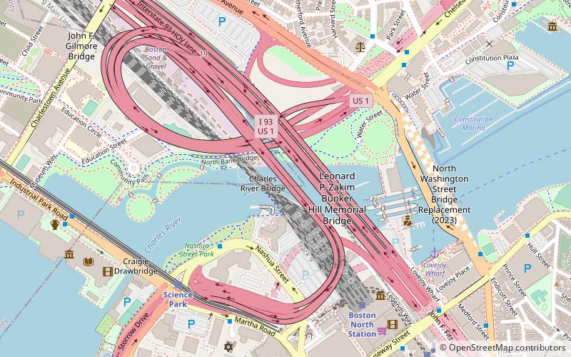
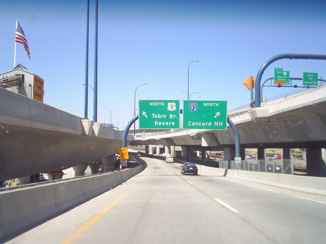
The Leverett Circle Connector Bridge is a highway bridge over the Charles River, carrying two lanes each of northbound and southbound traffic. It connects to Interstate 93 in Somerville, Massachusetts at the north end and splits at the south end, providing direct access to both Storrow Drive and Leverett Circle in Boston. Going northbound, there is also a fork which provides access to the City Square Tunnel under Charlestown to proceed on U.S. 1 North via the Tobin Bridge. ()
Length: 8976 ftCoordinates: 42°22'9"N, 71°3'53"W
Day trips
Leverett Circle Connector Bridge – popular in the area (distance from the attraction)
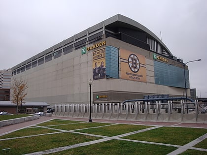
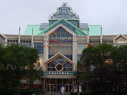
Nearby attractions include: TD Garden, Museum of Science, CambridgeSide, Haymarket Open-Air Market.
Frequently Asked Questions (FAQ)
Which popular attractions are close to Leverett Circle Connector Bridge?
Nearby attractions include Charles River Bridge, Boston (1 min walk), Leonard P. Zakim Bunker Hill Memorial Bridge, Boston (2 min walk), North Bank Bridge, Boston (3 min walk), Paul Revere Park, Boston (3 min walk).
How to get to Leverett Circle Connector Bridge by public transport?
The nearest stations to Leverett Circle Connector Bridge:
Train
Light rail
Metro
Bus
Train
- Boston North Station (6 min walk)
Light rail
- North Station • Lines: C, E (9 min walk)
- Haymarket • Lines: C, E (15 min walk)
Metro
- North Station • Lines: Orange (9 min walk)
- Community College • Lines: Orange (11 min walk)
Bus
- Tremont St opp Temple Pl • Lines: 55 (24 min walk)
- Federal St @ Franklin St • Lines: 504 (27 min walk)
 MBTA Subway