Macondray Lane, San Francisco

Gallery (5)
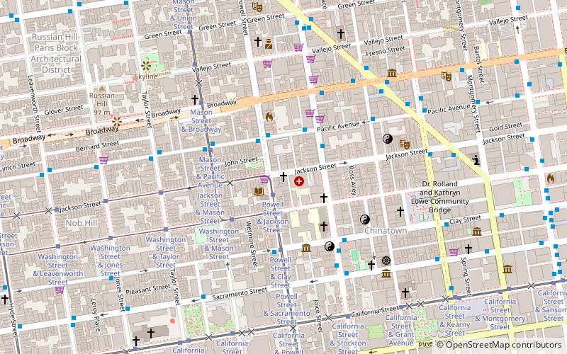
Map

Map

Gallery
Facts and practical information
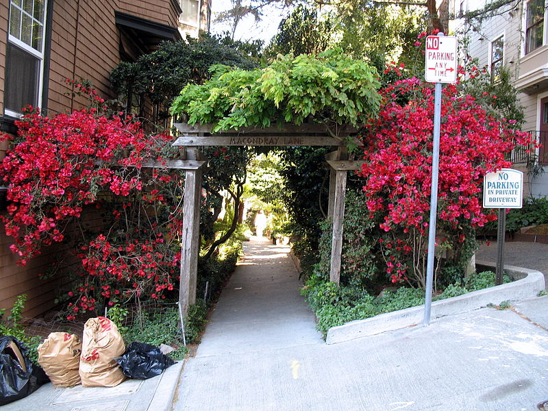
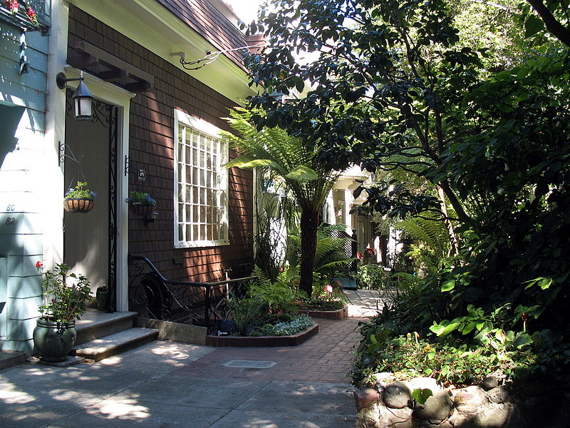
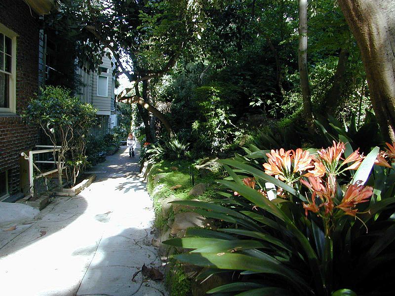
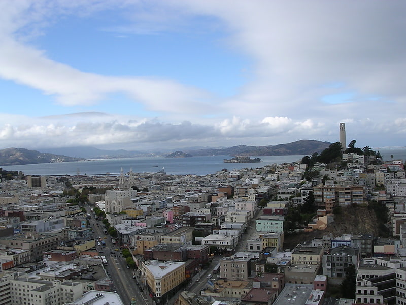
Macondray Lane is a small pedestrian lane on the southeastern side of Russian Hill in San Francisco, California. It forms a wooded enclave that was added to the National Register of Historic Places in 1988 as the Russian Hill–Macondray Lane District. ()
Elevation: 246 ft a.s.l.Coordinates: 37°47'57"N, 122°24'54"W
Address
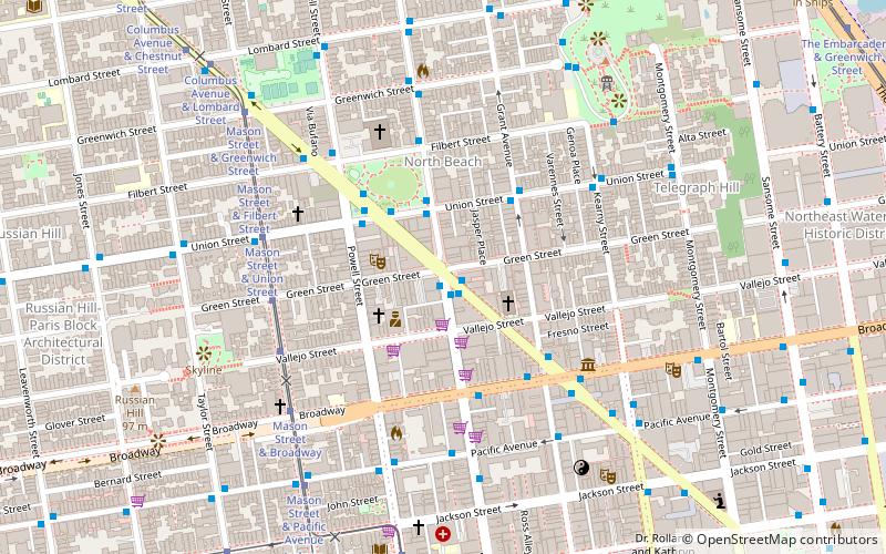
Between Taylor and JonesNortheast San Francisco (Russian Hill)San Francisco 94133
ContactAdd
Social media
Add
Getting there by public transportation
Public transportation stops near this location
- Metro
- Bus
- Trolleybus
- Tram
- Light rail
- Ferry
 Metro
Metro
- Calculate routeUnion Street & Jones Street 2 min walk
- Calculate routeMason Street & Green Street 4 min walk
- Calculate routeMason Street & Union Street 4 min walk
- Calculate routeMason Street & Vallejo Street 5 min walk
- Calculate routeMason Street & Filbert Street 5 min walk
- Calculate routeColumbus Avenue & Filbert Street 6 min walk
- Calculate routePacific Avenue & Jones Street 6 min walk
- Calculate routePier 41 Gate 1 19 min walk
- Calculate routePier 41 Gate 2 19 min walk
- Calculate routeMontgomery Street 26 min walk
- Calculate routeEmbarcadero 28 min walk
- Calculate routePowell Street 28 min walk
- Calculate routeMontgomery Street 26 min walk
- Calculate routeEmbarcadero 28 min walk
- Calculate routePowell Street 28 min walk
Maps Muni Metro
Muni MetroDay trips
Macondray Lane – popular in the area (distance from the attraction)
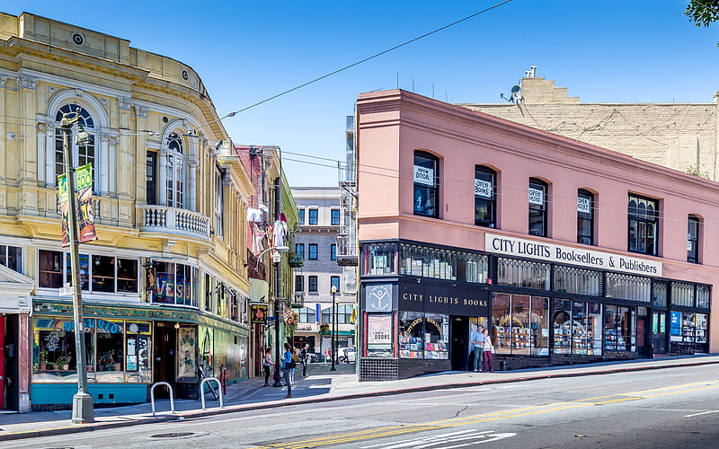
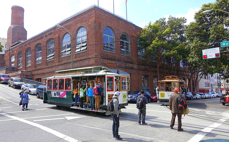
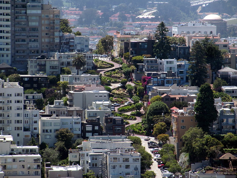
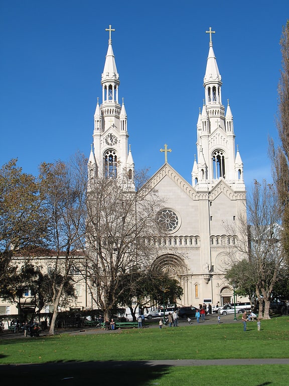
Nearby attractions include: Bimbo's 365 Club, City Lights Bookstore, Cable Car Museum, Lombard Street.

Frequently Asked Questions (FAQ)
Which popular attractions are close to Macondray Lane?
Nearby attractions include Russian Hill-Macondray Lane District, San Francisco (1 min walk), Feusier Octagon House, San Francisco (4 min walk), Russian Hill, San Francisco (4 min walk), Broadway Tunnel, San Francisco (5 min walk).
How to get to Macondray Lane by public transport?
The nearest stations to Macondray Lane:
Trolleybus
Tram
Bus
Ferry
Light rail
Metro
Trolleybus
- Union Street & Jones Street • Lines: 45 (2 min walk)
Tram
- Mason Street & Green Street (4 min walk)
- Mason Street & Union Street (4 min walk)
Bus
- Columbus Avenue & Filbert Street • Lines: 30, 91 (6 min walk)
- Pacific Avenue & Jones Street • Lines: 12 (6 min walk)
Ferry
- Pier 41 Gate 1 • Lines: Blue & Gold Fleet (19 min walk)
- Pier 41 Gate 2 • Lines: Blue & Gold Fleet, San Francisco Bay Ferry (19 min walk)
Light rail
- Montgomery Street • Lines: K, N, S, T (26 min walk)
- Embarcadero • Lines: K, N, S, T (28 min walk)
Metro
- Montgomery Street • Lines: Blue, Green, Red, Yellow (26 min walk)
- Embarcadero • Lines: Blue, Green, Red, Yellow (28 min walk)