East Lake, Deschutes National Forest
Map

Map

Facts and practical information
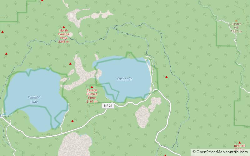
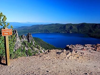
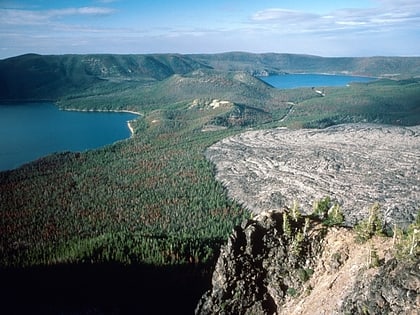
East Lake is one of the twin lakes that occupy part of the Newberry Crater or caldera in Central Oregon, United States. It is located in the Deschutes National Forest near the city of La Pine. The caldera was formed over 500,000 years ago from volcanic eruptions. East Lake's water comes from snow melt, rain fall, and hot springs only. The average depth is 67 feet, 180 feet at the deepest point, and covers 1,044 acres. East Lake is about 50 feet higher in elevation and is to the east of its twin, Paulina Lake. ()
Area: 1.62 mi²Maximum depth: 180 ftElevation: 6385 ft a.s.l.Coordinates: 43°43'41"N, 121°12'36"W
Address
Deschutes National Forest
ContactAdd
Social media
Add
Day trips
East Lake – popular in the area (distance from the attraction)
Nearby attractions include: Paulina Creek Falls, Paulina Peak, Newberry Volcano, Paulina Lake.


