Paulina Creek Falls, La Pine
Map

Map

Facts and practical information
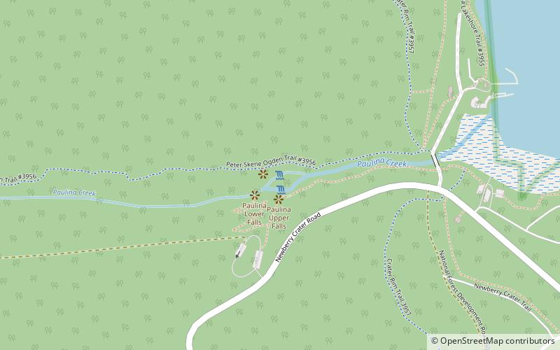
Paulina Creek Falls is a cascade and plunge waterfall from a streambed draining from Paulina Lake in Newberry National Volcanic Monument, south of Bend, Oregon. The waterfall is notable for its side-by-side drop of 80 feet that surrounds a small island at the edge of the cliff. ()
Coordinates: 43°42'45"N, 121°16'57"W
Address
La Pine
ContactAdd
Social media
Add
Day trips
Paulina Creek Falls – popular in the area (distance from the attraction)
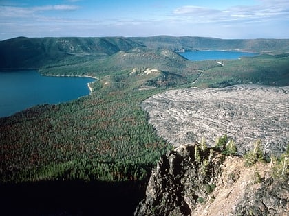
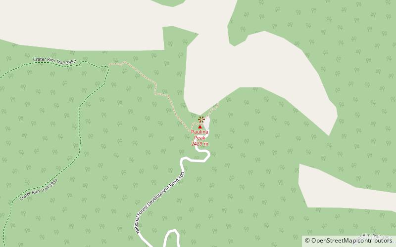
Nearby attractions include: Paulina Peak, Newberry Volcano, Paulina Lake, East Lake.


