Paulina Peak, Newberry National Volcanic Monument
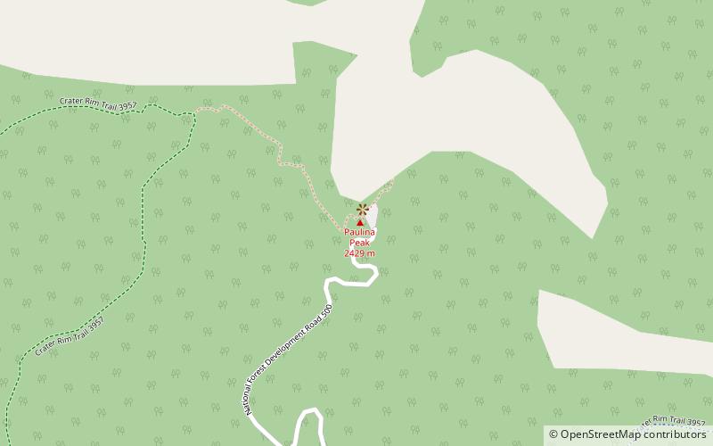
Map

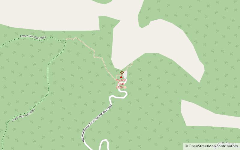
Map

Facts and practical information
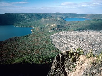
Paulina Peak is a summit in Deschutes County, Oregon, United States. Formed by the Newberry Volcano, it is part of Newberry National Volcanic Monument. At an elevation of 7,984 feet, it is the highest point on the volcano. The peak gives a panoramic view of the Newberry Caldera, the south and west flanks of the Newberry Volcano, the Cascades, the Fort Rock Basin, and central Oregon. The Cascade Range can be seen extending into California and Washington from the peak on a clear sunny day. ()
Elevation: 7984 ftProminence: 3220 ftCoordinates: 43°41'21"N, 121°15'18"W
Address
Newberry National Volcanic Monument
ContactAdd
Social media
Add
Day trips
Paulina Peak – popular in the area (distance from the attraction)
Nearby attractions include: Paulina Creek Falls, Newberry Volcano, Paulina Lake, East Lake.
Frequently Asked Questions (FAQ)
Which popular attractions are close to Paulina Peak?
Nearby attractions include Newberry Volcano, Newberry National Volcanic Monument (1 min walk), Paulina Mountains, Newberry National Volcanic Monument (1 min walk).


