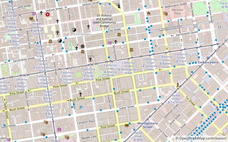
555 California Street, San Francisco

Facts and practical information
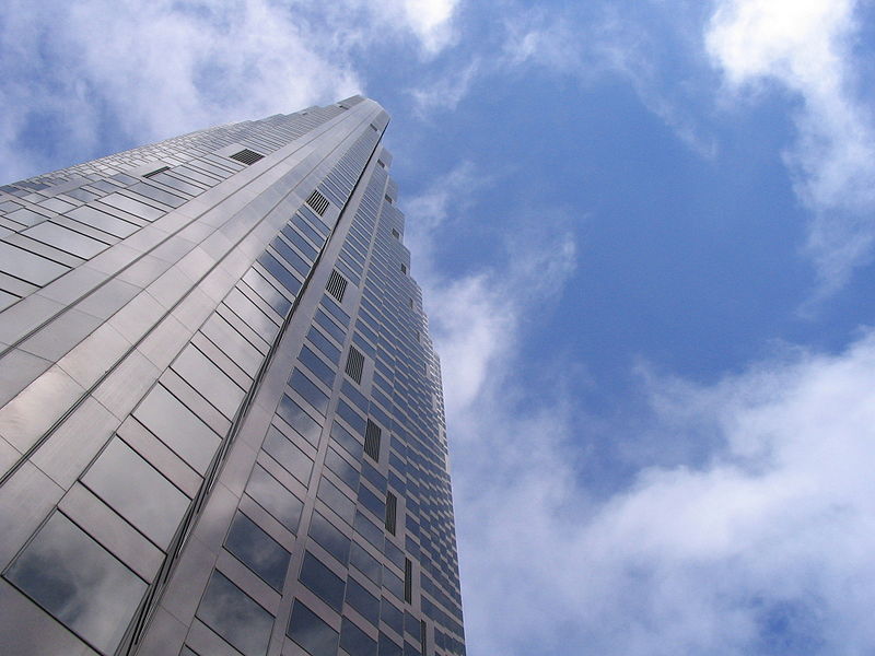
555 California Street, formerly Bank of America Center, is a 52-story 779 ft skyscraper in San Francisco, California. It is the fourth tallest building in the city as of February 2021, and in 2013 was the largest by floor area. Completed in 1969, the tower was the tallest building west of the Mississippi River until the completion of the Transamerica Pyramid in 1972, and the world headquarters of Bank of America until the 1998 merger with NationsBank, when the company moved its headquarters to the Bank of America Corporate Center in Charlotte, North Carolina. It is currently owned by Vornado Realty Trust and The Trump Organization. ()
701 Grant AveNortheast San Francisco (Financial District)San Francisco
- Metro
- Bus
- Trolleybus
- Tram
- Light rail
- Train
- Ferry
 Metro
Metro
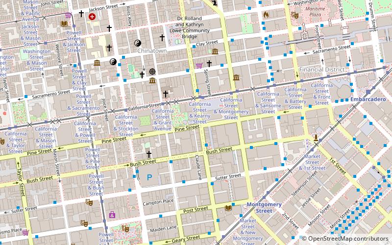
- Calculate routeCalifornia Street & Kearny Street 2 min walk
- Calculate routeCalifornia Street & Montgomery Street 3 min walk
- Calculate routeCalifornia Street & Grant Avenue 3 min walk
- Calculate routeCalifornia Street & Sansome Street 5 min walk
- Calculate routeSacramento Street & Kearny Street 3 min walk
- Calculate routeClay Street & Kearny Street 5 min walk
- Calculate routeSutter Street & Kearny Street 5 min walk
- Calculate routeSansome Street & Pine Street 5 min walk
- Calculate routeSansome Street & California Street 5 min walk
- Calculate routeSutter Street & Sansome Street 5 min walk
- Calculate routeMontgomery Street 7 min walk
- Calculate routeEmbarcadero 11 min walk
- Calculate routePowell Street 14 min walk
- Calculate routeMontgomery Street 7 min walk
- Calculate routeEmbarcadero 10 min walk
- Calculate routePowell Street 15 min walk
- Calculate routeFolsom 21 min walk
- Calculate routeFerry Building Gate B 18 min walk
- Calculate routeSan Francisco 4th & King Street 31 min walk
 Muni Metro
555 California Street – popular in the area (distance from the attraction)
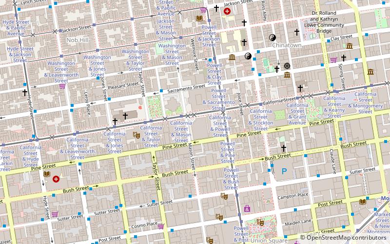
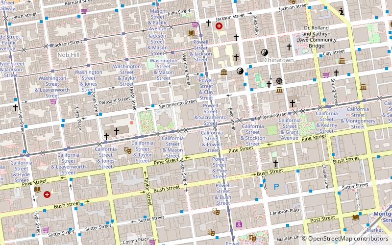
Nearby attractions include: Old St. Mary's Cathedral, Union Square, San Francisco Comfort Women Memorial, Notre-Dame-des-Victoires.


Frequently Asked Questions (FAQ)
Which popular attractions are close to 555 California Street?
How to get to 555 California Street by public transport?
Tram
- California Street & Kearny Street (2 min walk)
- California Street & Montgomery Street (3 min walk)
Trolleybus
- Sacramento Street & Kearny Street • Lines: 1 (3 min walk)
- Clay Street & Kearny Street • Lines: 1 (5 min walk)
Bus
- Sutter Street & Kearny Street • Lines: 30, 8, 91 (5 min walk)
- Sansome Street & Pine Street • Lines: 12 (5 min walk)
Metro
- Montgomery Street • Lines: Blue, Green, Red, Yellow (7 min walk)
- Embarcadero • Lines: Blue, Green, Red, Yellow (11 min walk)
Light rail
- Montgomery Street • Lines: K, N, S, T (7 min walk)
- Embarcadero • Lines: K, N, S, T (10 min walk)
Ferry
- Ferry Building Gate B • Lines: San Francisco Bay Ferry (18 min walk)
Train
- San Francisco 4th & King Street (31 min walk)