Saint Mary's Square, San Francisco

Gallery (1)
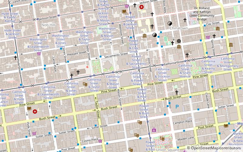
Map
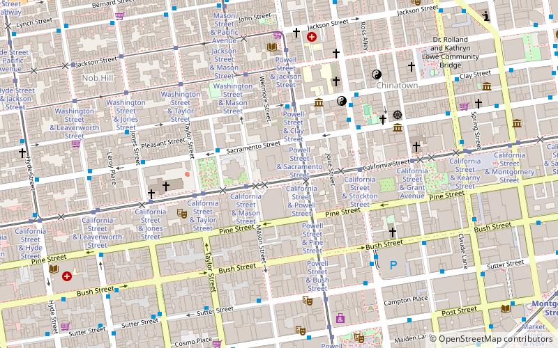
Map
Facts and practical information
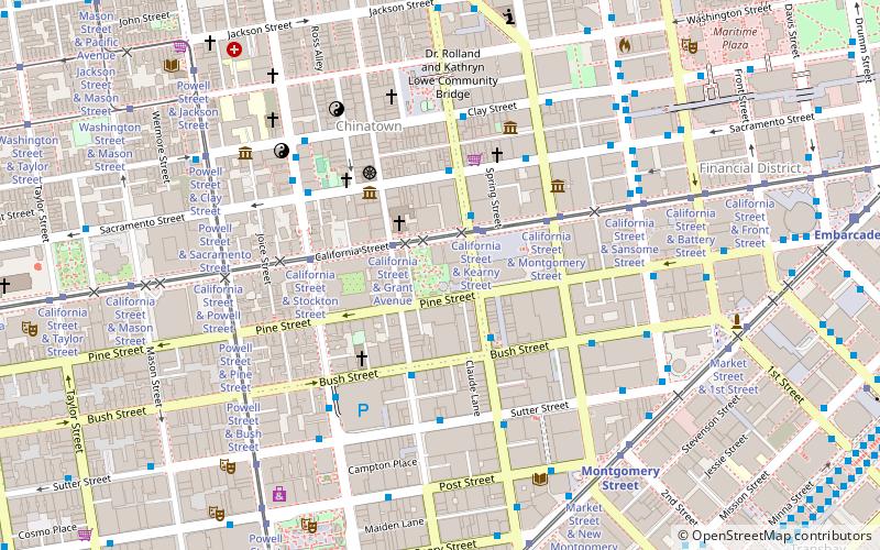
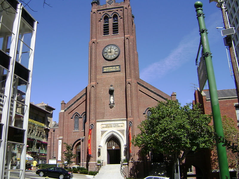
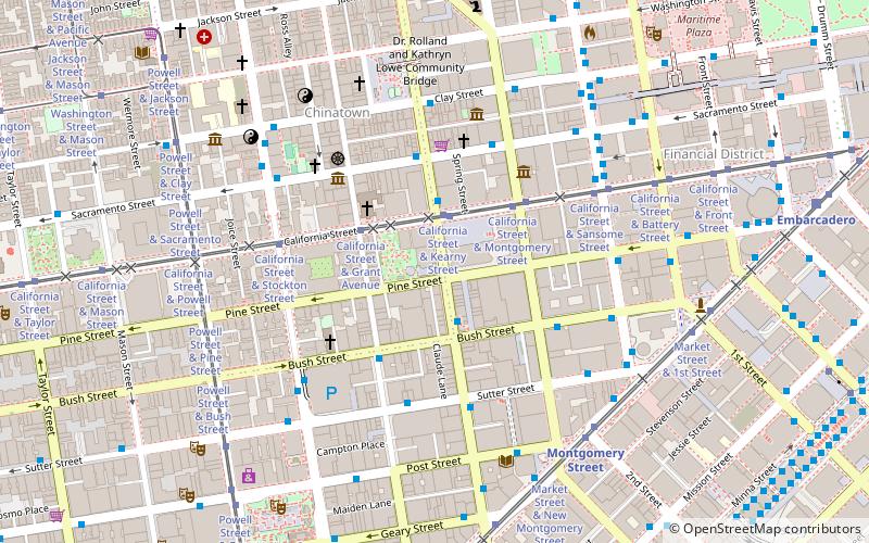
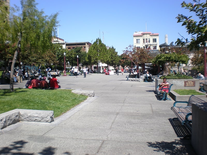
Saint Mary's Square is a park and urban square across California Street from Old St. Mary's Cathedral in San Francisco's Chinatown, in the U.S. state of California. ()
Elevation: 66 ft a.s.l.Coordinates: 37°47'31"N, 122°24'18"W
Address
651 California StNortheast San Francisco (Chinatown)San Francisco 94108
ContactAdd
Social media
Add
Getting there by public transportation
Public transportation stops near this location
- Metro
- Bus
- Trolleybus
- Tram
- Light rail
- Train
- Ferry
 Metro
Metro
- Calculate routeCalifornia Street & Grant Avenue 2 min walk
- Calculate routeCalifornia Street & Kearny Street 2 min walk
- Calculate routeCalifornia Street & Montgomery Street 4 min walk
- Calculate routeCalifornia Street & Stockton Street 4 min walk
- Calculate routeSacramento Street & Kearny Street 3 min walk
- Calculate routeSutter Street & Kearny Street 4 min walk
- Calculate routeSutter Street & Kearny Street 4 min walk
- Calculate routeStockton Street & Clay Street 6 min walk
- Calculate routeMontgomery Street 7 min walk
- Calculate routeEmbarcadero 12 min walk
- Calculate routePowell Street 14 min walk
- Calculate routeFolsom 23 min walk
- Calculate routeMontgomery Street 7 min walk
- Calculate routeEmbarcadero 12 min walk
- Calculate routePowell Street 14 min walk
- Calculate routeFerry Building Gate B 19 min walk
- Calculate routeSan Francisco 4th & King Street 31 min walk
Maps Muni Metro
Muni MetroDay trips


Frequently Asked Questions (FAQ)
Which popular attractions are close to Saint Mary's Square?
Nearby attractions include San Francisco Comfort Women Memorial, San Francisco (1 min walk), Kearny Street, San Francisco (2 min walk), 650 California, San Francisco (2 min walk), Old St. Mary's Cathedral, San Francisco (3 min walk).
How to get to Saint Mary's Square by public transport?
The nearest stations to Saint Mary's Square:
Tram
Trolleybus
Bus
Light rail
Metro
Ferry
Train
Tram
- California Street & Grant Avenue (2 min walk)
- California Street & Kearny Street (2 min walk)
Trolleybus
- Sacramento Street & Kearny Street • Lines: 1 (3 min walk)
- Sutter Street & Kearny Street • Lines: 30, 45 (4 min walk)
Bus
- Sutter Street & Kearny Street • Lines: 30, 8, 91 (4 min walk)
- Stockton Street & Clay Street • Lines: 30, 8, 91 (6 min walk)
Light rail
- Montgomery Street • Lines: K, N, S, T (7 min walk)
- Embarcadero • Lines: K, N, S, T (12 min walk)
Metro
- Montgomery Street • Lines: Blue, Green, Red, Yellow (7 min walk)
- Embarcadero • Lines: Blue, Green, Red, Yellow (12 min walk)
Ferry
- Ferry Building Gate B • Lines: San Francisco Bay Ferry (19 min walk)
Train
- San Francisco 4th & King Street (31 min walk)