Tank Hill, San Francisco

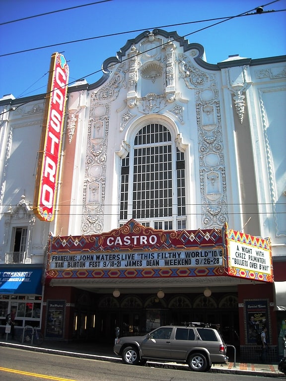
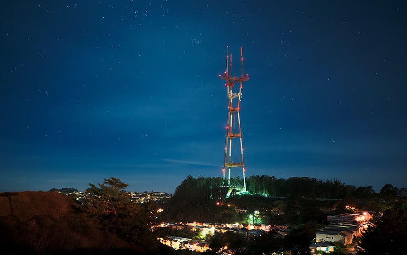
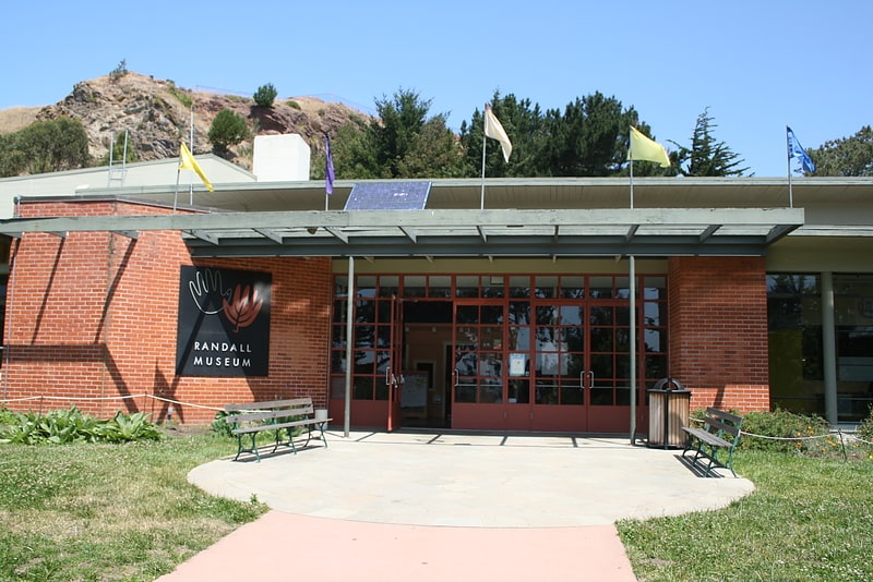
Gallery (3)
Map
Map
Gallery
Facts and practical information
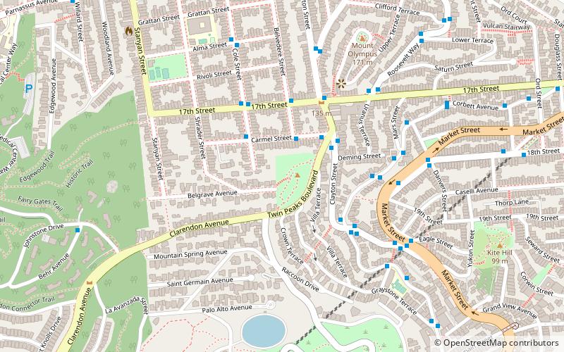
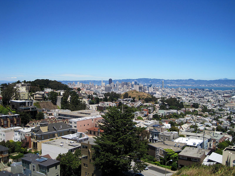
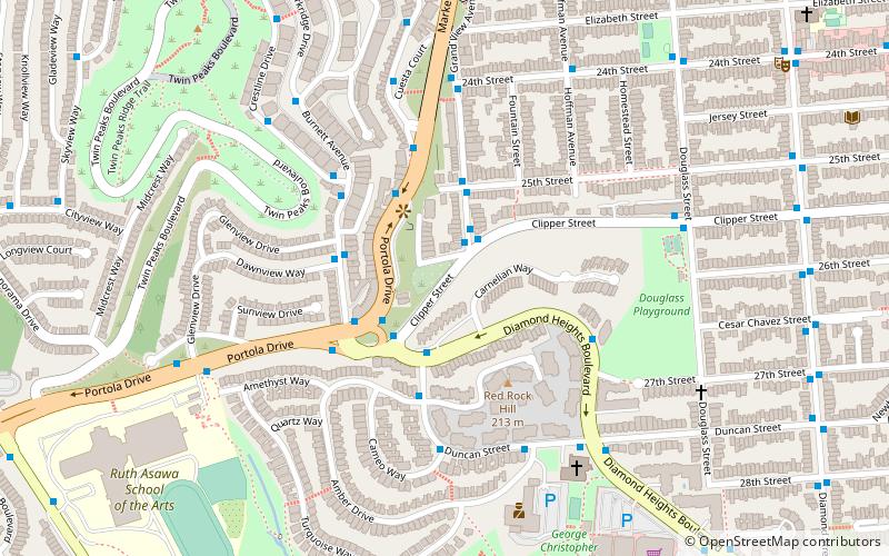
Tank Hill Park is located in San Francisco near the intersection of Clayton Street and Twin Peaks Boulevard, which circumscribes the hill to the south and east. A rocky outcropping defines the north side, which falls in cliffs to houses below. ()
Created: 1977Elevation: 505 ft a.s.l.Coordinates: 37°45'36"N, 122°26'53"W
Getting there by public transportation
Public transportation stops near this location
- Bus
- Trolleybus
- Tram
- Light rail
- Train
 Bus
Bus
- Calculate routeCarmel Street & Belvedere Street 2 min walk
- Calculate routeCole Street & Carmel Street 3 min walk
- Calculate route17th Street & Belvedere Street 4 min walk
- Calculate routeClayton Street & Twin Peaks Boulevard 3 min walk
- Calculate route18th Street & Market Street 5 min walk
- Calculate routeCarl Street & Cole Street 11 min walk
- Calculate routeUCSF Parnassus 17 min walk
- Calculate routeCarl Street & Cole Street 11 min walk
- Calculate routeIrving Street & Arguello Boulevard 17 min walk
- Calculate route17th Street & Castro Street 19 min walk
- Calculate routeMarket Street & Church Street 30 min walk
Maps Muni Metro
Muni MetroDay trips


Frequently Asked Questions (FAQ)
When is Tank Hill open?
Tank Hill is open:
- Monday 5 am - 12 am
- Tuesday 5 am - 12 am
- Wednesday 5 am - 12 am
- Thursday 5 am - 12 am
- Friday 5 am - 12 am
- Saturday 5 am - 12 am
- Sunday 5 am - 12 am
Which popular attractions are close to Tank Hill?
Nearby attractions include Mount Olympus, San Francisco (7 min walk), Corona Heights, San Francisco (8 min walk), Friends of Kite Hill Open Space, San Francisco (9 min walk), Twin Peaks, San Francisco (10 min walk).
How to get to Tank Hill by public transport?
The nearest stations to Tank Hill:
Bus
Trolleybus
Train
Light rail
Tram
Bus
- Carmel Street & Belvedere Street • Lines: 37 (2 min walk)
- Cole Street & Carmel Street • Lines: 37 (3 min walk)
Trolleybus
- Clayton Street & Twin Peaks Boulevard • Lines: 33 (3 min walk)
- 18th Street & Market Street • Lines: 33 (5 min walk)
Train
- Carl Street & Cole Street (11 min walk)
- UCSF Parnassus (17 min walk)
Light rail
- Carl Street & Cole Street • Lines: N (11 min walk)
- Irving Street & Arguello Boulevard • Lines: N (17 min walk)
Tram
- 17th Street & Castro Street • Lines: F (19 min walk)
- Market Street & Church Street • Lines: F (30 min walk)