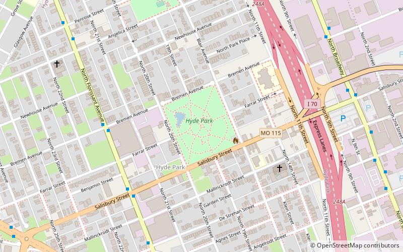
Hyde Park, St. Louis
Map

Map

Facts and practical information
Hyde Park is a municipal park in St. Louis. ()
Created: 1854Elevation: 476 ft a.s.l.Coordinates: 38°39'42"N, 90°12'7"W
Address
Hyde Park Historic DistrictSt. Louis
ContactAdd
Social media
Add
Day trips
Hyde Park – popular in the area (distance from the attraction)
Nearby attractions include: St. Liborius Church and Buildings, Stan Musial Veterans Memorial Bridge, McKinley Bridge, Bissell Street Water Tower.
Frequently Asked Questions (FAQ)
Which popular attractions are close to Hyde Park?
Nearby attractions include Windsor Park, St. Louis (8 min walk), Near North Riverfront, St. Louis (13 min walk), Bissell Street Water Tower, St. Louis (17 min walk), Fairground, St. Louis (18 min walk).


