St. Louis Place, St. Louis
Map

Map

Facts and practical information
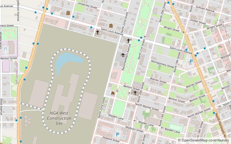
St. Louis Place is a neighborhood of St. Louis, Missouri. It is bounded by Palm Street on the North, Cass Avenue on the South, North Florissant on the East, and North Jefferson on the West. It is home to National Geospatial-Intelligence Agency's West headquarters ()
Coordinates: 38°38'58"N, 90°12'21"W
Day trips
St. Louis Place – popular in the area (distance from the attraction)
Nearby attractions include: The Dome at America's Center, City Museum, Chaifetz Arena, Shrine of St. Joseph.
Frequently Asked Questions (FAQ)
Which popular attractions are close to St. Louis Place?
Nearby attractions include St. Louis Place Park, St. Louis (4 min walk), The Griot Museum of Black History, St. Louis (8 min walk), Clemens House-Columbia Brewery District, St. Louis (10 min walk), St. Liborius Church and Buildings, St. Louis (11 min walk).


